Near Luray in Page County, Virginia — The American South (Mid-Atlantic)
Stony Man Trailhead
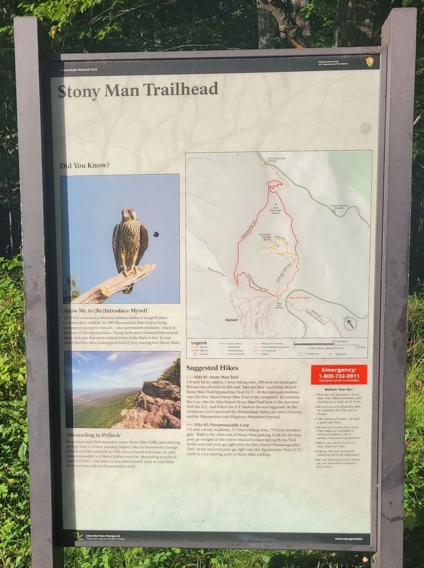
Did You Know?
Allow Me to (Re)Introduce Myself
The Park's resource protection mission makes it a superb place to reintroduce wildlife. In 1989 Shenandoah first tried to bring endangered peregrine falcons-once permanent residents-back to this part of the Appalachians. Young birds were released from several spots, in hopes that some would return to the Park to live. So you might find this once-endangered bird of prey soaring over Stony Man!
'Abounding in Pollock'
Passamaquoddy Trail meanders under Stony Man Cliffs, past alluring geology and, in winter, amazing drapery-like ice formations. George Pollock had the trail built in 1932 and so named it because, he said, 'passamaquoddy is a Maine Indian word for 'abounding in pollock' (a kind of fish)-and more or less after himself, since it's not likely there were any fish on this streamless trail!
Suggested Hikes
Hike #1: Stony Man Trail
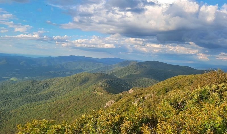
1.6-mile lariat, easiest, 1 hour hiking time, 340-foot elevation gain. Pets are not allowed on this trail. Take the blue- and white-blazed Stony Man Trail/Appalachian Trail (A.T.). At the trail post continue onto the blue-blazed Stony Man Trail to the viewpoint. To continue the loop, take the blue-blazed Stony Man Trail back to the junction with the A.T., and follow the A.T. back to the starting point. At the viewpoint, you'll overlook the Shenandoah Valley, the town of Luray, and the Massanutten and Allegheny Mountains beyond.
Hike #2: Passamaquoddy Loop
3.5-mile circuit, moderate, 2˝ hours hiking time, 770-foot elevation gain. Walk to the other end of Stony Man parking. Look for the trail post; go straight on the yellow-blazed Furnace Spring Horse Trail. At the next trail post, go right onto the blue-blazed Passamaquoddy Trail. At the next trail post, go right onto the Appalachian Trail (A.T.) south to your starting point at Stony Man parking.
Erected by National Park Service U.S. Department of the Interior.
Topics. This historical marker is listed in these topic lists: Animals • Parks & Recreational Areas. A significant historical year for this entry is 1989.
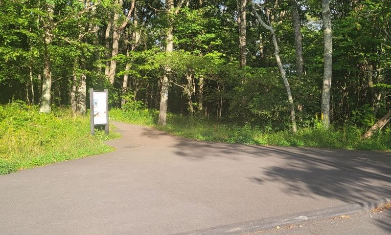
Location. 38° 35.587′ N, 78° 22.537′ W. Marker is near Luray, Virginia, in Page County. Marker can be reached from Skyland Upper Loop west of Skyline Drive (just north of milepost 42), on the right when traveling west. Marker is located at the Stony Man Trailhead parking lot beside the Appalachian Trail. Touch for map. Marker is in this post office area: Luray VA 22835, United States of America. Touch for directions.
Other nearby markers. At least 8 other markers are within 3 miles of this marker, measured as the crow flies. Shenandoah's Centerpiece (approx. 0.3 miles away); Prelude to a Park (approx. 0.3 miles away); Construction of the Skyline Drive (approx. 0.6 miles away); Civilian Conservation Camp (approx. 1.4 miles away); Old Man in the Mountain (approx. 1˝ miles away); A Home Away From Home? (approx. 2.2 miles away); Civilian Conservation Corps (approx. 2.7 miles away); If These Walls Could Talk (approx. 3.1 miles away). Touch for a list and map of all markers in Luray.
Credits. This page was last revised on August 16, 2023. It was originally submitted on August 15, 2023, by Bradley Owen of Morgantown, West Virginia. This page has been viewed 65 times since then and 19 times this year. Photos: 1, 2, 3. submitted on August 16, 2023, by Bradley Owen of Morgantown, West Virginia.


