
Mission Viejo in Orange County, California — The American West (Pacific Coastal)
Celebration Garden
Photographed by Adam Margolis, April 7, 2023
1. Celebration Garden Marker
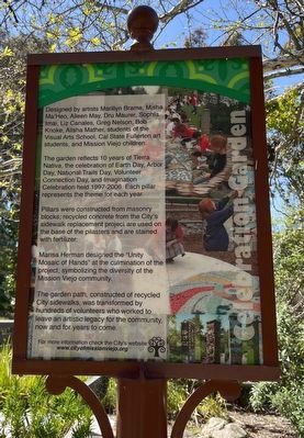
The garden reflects 10 years of Tierra Nativa, the celebration of Earth Day, Arbor Day, National Trails Day, Volunteer Connection Day, and Imagination Celebration held 1997-2006. Each pillar represents the theme for each year.
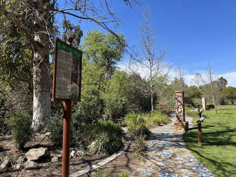
Pillars were constructed from masonry blocks; recycled concrete from the City's sidewalk replacement project are used on the base of the pilasters and are stained with fertilizer.
Marisa Herman designed the "Unity Mosaic of Hands" at the culmination of the project, symbolizing the diversity of the Mission Viejo community.
The garden path, constructed of recycled City sidewalks, was transformed by I hundreds of volunteers who worked to leave an artistic legacy for the community, now and for years to come.
Erected by City of Mission Viejo.
Topics. This historical marker is listed in these topic lists: Arts, Letters, Music
this page online
Location. 33° 36.023′ N, 117° 39.22′ W. Marker is in Mission Viejo, California, in Orange County. It can be reached from Via Florecer. In Oso Creek Park. Touch for map. Marker is at or near this postal address: 24922 Via Florecer, Mission Viejo CA 92692, United States of America. Touch for directions.

Regionally, this marker is in Greater Los Angeles and in the Peninsular Ranges. It is also on the American Pacific Coast. Globally, it is in North America, on the Ring of Fire, in the Pacific Rim, in the Western Hemisphere, in the Western World, and in the Anglosphere. Historically, it finds itself in what was once New Spain and also Mexico’s Alta California.
Other nearby markers. At least 8 other markers are within walking distance of this marker: Oso Creek Trail (about 700 feet away, measured in a direct line); a different marker also named Oso Creek Trail (approx. 0.2 miles away); World Cup Soccer Training Facility (approx. 0.3 miles away); First Marine Division (approx. 0.4 miles away); Jason D. Peto (approx.
Photographed by Adam Margolis, April 7, 2023
2. Celebration Garden Marker
Credits. This page was last revised on September 1, 2023. It was originally submitted on August 16, 2023, by Adam Margolis of Mission Viejo, California. This page has been viewed 239 times since then and 27 times this year. Photos: 1, 2. submitted on August 16, 2023, by Adam Margolis of Mission Viejo, California. • Andrew Ruppenstein was the editor who published this page.
