Near Charlottesville in Albemarle County, Virginia — The American South (Mid-Atlantic)
Contemplative Site
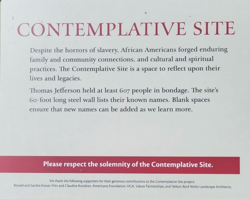
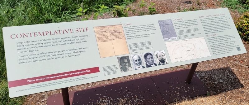
Despite the horrors of slavery, African Americans forged enduring family and community connections, and cultural and spiritual practices. The Contemplative Site is a space to reflect upon their lives and legacies.
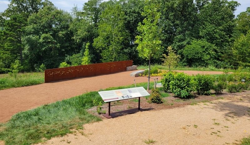
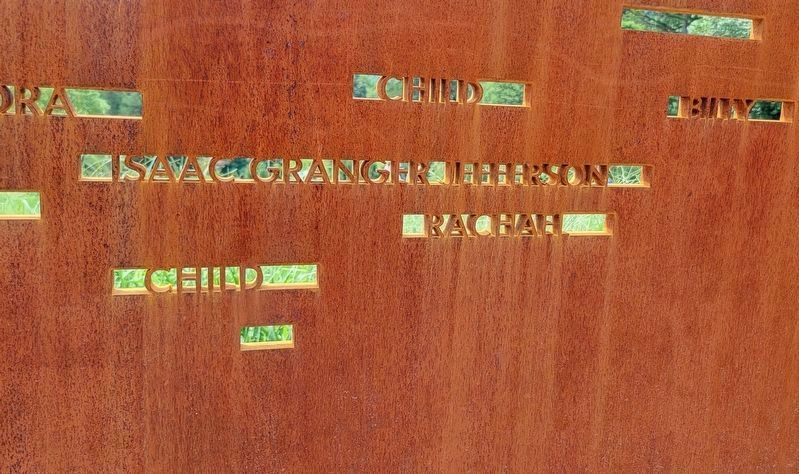
Thomas Jefferson held at least 607 people in bondage. The site's 60-foot long steel wall lists their known names. Blank spaces ensure that new names can be added as we learn more.
Please respect the solemnity of the Contemplative Site.
Names
Historians do not know the exact number of people who lived in slavery at Monticello. Jefferson rarely recorded last names, so the enslaved are often only known by their first names. He also may have owned more people than those listed on the wall.
The names are organized by birth date to emphasize personhood and community connections.
Location
The Contemplative Site is located in an area Jefferson designed as a wooded, ornamental landscape and called the "Grove." Enslaved people moved through space using the "1-in-10" road to access the North Spring, an important water source.
Fulfilling The Declaration
Jefferson and the founders laid out a vision for a nation where "all men are created equal." But that vision excluded people of color.
Through the ordeal of slavery, the hope of Reconstruction, and the despair of Jim Crow, Monticello's enslaved families and their descendants kept their eyes on the future sustained by their religious faith, their belief in the importance of education, their drive to succeed, and the powerful bonds of family. They worked to expand the meaning of the Declaration of Independence, participating in freedom struggles from the Civil War to the Civil Rights Movement and into the present day.
Learn More
The Contemplative Site is an important contribution to Monticello's landscape. It was designed by HGA and Nelson Byrd Woltz Landscape Architects in collaboration with descendants of the enslaved community, historians, advisors, and staff.
Monticello's Getting Word African American Oral History Project is a decades-long initiative to collect and share the stories of Monticello's enslaved community and their descendants. The Project preserves the histories of Monticello's enslaved families and their descendants through over 100 interviews with participants and countless hours of research.
Use the QR code at the right to learn more.
(Captions):
Jefferson's Farm Book is an important source for the names of the people he enslaved. On this page from 1774, he recorded the births and deaths among the people enslaved at his Monticello, Poplar Forest, and Elk Hill Plantations. Four of the deaths were infants including one who is listed only as "anonymous."
There are ten other entries in the Farm Book for children without an identified name. These individuals are represented on the wall as "Child."
Massachusetts Historical Society
Few depictions exist of the people enslaved by Jefferson. Historians have found photos of Isaac Granger Jefferson, Peter Fossett, Ann-Elizabeth Fossett Isaacs, and Robert Hughes.
UVA Special Collections; Wendell P. Dabney, Cincinnati's Colored Citizens (1926); Ebony magazine (1954); Union Run Baptist Church
Archaeological investigations indicate that traces of the "1-in-10" road in the immediate area were destroyed by plowing in the 19th and early 20th centuries. High-resolution Lidar images (left) reveal traces of late 19th-century orchard terracing that also removed evidence of the Jefferson-era road.
Monticello Department of Archaeology
The "1-in-10" road circled from the west end of Mulberry Row, around the west slope of the mountain, and down to the North Spring.
Massachusetts Historical Society
Erected by Ronald and Sandra Kossar, Fritz and Claudine Kundrun, Americana Foundation, HGA, Values Partnerships, and Nelson Byrd Woltz Landscape Architects.
Topics and series. This historical marker is listed in these topic lists: African Americans • Civil Rights. In addition, it is included in the Former U.S. Presidents: #03 Thomas Jefferson series list. A significant historical year for this entry is 1774.
Location. 38° 0.548′ N, 78° 27.26′ W. Marker is near Charlottesville, Virginia, in Albemarle County. Marker can be reached from Monticello Loop, 0.4 miles north of Thomas Jefferson Parkway (Virginia Route 53), on the left when traveling north. The marker is at the end of Mulberry Row heading west from Monticello. It is off to the right before heading towards the Monticello Graveyard. Touch for map. Marker is at or near this postal address: 931 Thomas Jefferson Parkway, Charlottesville VA 22902, United States of America. Touch for directions.
Other nearby markers. At least 8 other markers are within walking distance of this marker. Charcoal (within shouting distance of this marker); Wood Trades (within shouting distance of this marker); Joiner's Shop (within shouting distance of this marker); Nail-Making (about 300 feet away, measured in a direct line); Nursery (about 400 feet away); Discovering Mulberry Row (about 400 feet away); The Monticello Graveyard (about 500 feet away); Forge & Quarters (about 500 feet away). Touch for a list and map of all markers in Charlottesville.
Credits. This page was last revised on August 19, 2023. It was originally submitted on August 17, 2023, by Bradley Owen of Morgantown, West Virginia. This page has been viewed 107 times since then and 48 times this year. Photos: 1, 2, 3, 4. submitted on August 17, 2023, by Bradley Owen of Morgantown, West Virginia.


