Marshall in Madison County, North Carolina — The American South (South Atlantic)
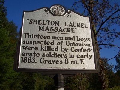
"Shelton Laurel Massacre"
Erected 1988 by Division Of Archives and History. (Marker Number P-71.)
Topics and series. This historical marker is listed in this topic list: War, US Civil. In addition, it is included in the North Carolina Division of Archives and History series list. A significant historical year for this entry is 1863.
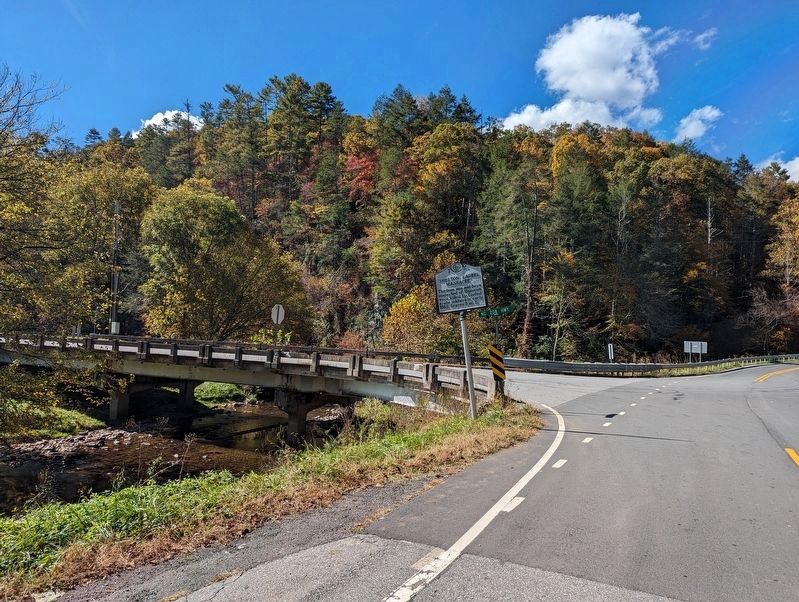
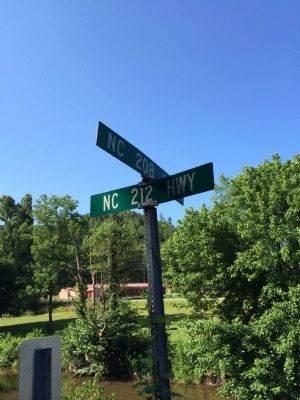
Location. 35° 56.1′ N, 82° 44.584′ W. Marker is in Marshall, North Carolina, in Madison County. Marker is on State Highway 208. Touch for map. Marker is at or near this postal address: 3501 Highway 208, Marshall NC 28753, United States of America. Touch for directions.
Other nearby markers. At least 8 other markers are within 6 miles of this marker, measured as the crow flies. Frances Goodrich (approx. 2.3 miles away); Paint Rock (approx. 5.2 miles away); Warm Springs Hotel (approx. 5.3 miles away); Hot Springs (approx. 5.4 miles away); Old Red Bridge (approx. 5˝ miles away); a different marker also named Hot Springs (approx. 5.6 miles away); Dorland - Bell Institute (approx. 5.6 miles away); Balladry (approx. 5.7 miles away).
Credits. This page was last revised on October 22, 2023. It was originally submitted on October 9, 2009, by Stanley and Terrie Howard of Greer, South Carolina. This page has been viewed 2,039 times since then and 47 times this year. Photos: 1. submitted on October 9, 2009, by Stanley and Terrie Howard of Greer, South Carolina. 2. submitted on October 22, 2023, by Mike Wintermantel of Pittsburgh, Pennsylvania. 3. submitted on June 28, 2015, by Pat Filippone of Stockton, California. • Craig Swain was the editor who published this page.


