Near Natural Bridge in Rockbridge County, Virginia — The American South (Mid-Atlantic)
Lost and Found
— Natural Bridge State Park —
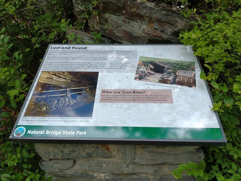
They built a pipe system to bring water from the Lost River to the hoppers and kettles used in the saltpeter’s extraction process. One of those pipes can still be seen today.
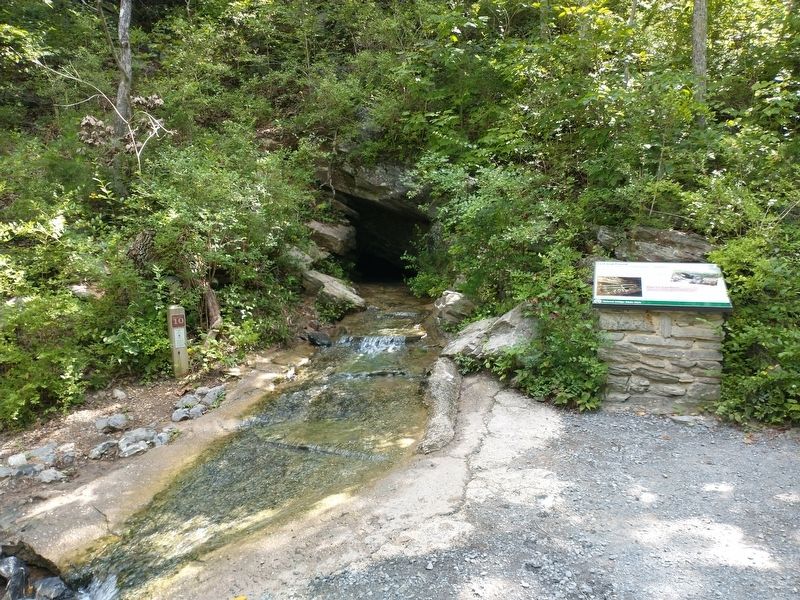
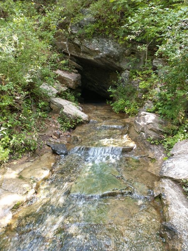
The source of the Lost River was a mystery until 1900. By using non-toxic dyes, scientists conducted tracer tests in the waterway to understand its flow. These tests revealed the location of a small stream that enters a sinkhole about a mile up the ridge. The water then flows through a very tight cave channel and ends in a small waterfall as it joins Cedar Creek, much like how Cedar Creek itself flowed underground thousands of years ago.
(sidebar)
What is a “Lost River”? Lost River is a general term used to mean a river that flows where we cannot “see”. Many rivers in caves and on the surface flow through the ground, becoming lost and reappearing in different areas with karst topography.
(captions)
A 1930s postcard showing the Lost River
Pipes at another saltpeter mining operation from the same time period. The pipes here can be found in the ground about 50 feet to your right.
Erected by Virginia State Parks, Department of Conservation and Recreation.
Topics. This historical marker is listed in these topic lists: Natural Features • Parks & Recreational Areas. A significant historical year for this entry is 1812.
Location. 37° 37.966′ N, 79° 33.118′ W. Marker is near Natural Bridge, Virginia, in Rockbridge County. Marker can be reached from the intersection of South Lee Highway (U.S. 11) and Wert Faulkner Highway (Virginia Route 130), on the right when traveling north. Marker located along the Cedar Creek Trail in Natural Bridge State Park. Touch for map. Marker is at or near this postal address: 6477 S Lee Hwy, Natural Bridge VA 24578, United States of America. Touch for directions.
Other nearby markers. At least 8 other markers are within walking distance of this marker. A Cave that Armed American Soldiers (approx. 0.2 miles away); Lost River (approx. 0.2 miles away); Lace Waterfalls (approx. 0.2 miles away); “The Most Sublime of Nature’s Works” (approx. ¼ mile away); Monacan Village (approx. ¼ mile away); Saltpetre Cave (approx. ¼ mile away); George Washington (approx. 0.4 miles away); Natural Bridge (approx. half a mile away). Touch for a list and map of all markers in Natural Bridge.
Also see . . . Natural Bridge State Park. Virginia Department of Conservation & Recreation. (Submitted on August 24, 2023.)
Credits. This page was last revised on August 24, 2023. It was originally submitted on August 23, 2023, by Tom Bosse of Jefferson City, Tennessee. This page has been viewed 105 times since then and 48 times this year. Photos: 1, 2, 3. submitted on August 23, 2023, by Tom Bosse of Jefferson City, Tennessee. • Bernard Fisher was the editor who published this page.


