Theresa in Dodge County, Wisconsin — The American Midwest (Great Lakes)
Solomon Juneau Lake Theresa Dam
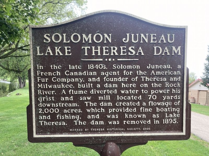
Photographed by Connor Olson, August 26, 2023
1. Solomon Juneau Lake Theresa Dam Marker
Erected 2000 by Theresa Historical Society.
Topics. This historical marker is listed in these topic lists: Bridges & Viaducts • Waterways & Vessels. A significant historical year for this entry is 1895.
Location. 43° 30.996′ N, 88° 26.936′ W. Marker is in Theresa, Wisconsin, in Dodge County. It is on Mill Street south of East Henni Street, on the left when traveling south. Touch for map. Marker is in this post office area: Theresa WI 53091, United States of America. Touch for directions.

Regionally, this marker is in the American Midwest and in the Corn Belt. Globally, it is in North America, the Western Hemisphere, the Western World, and the Anglosphere. Historically, it finds itself in what was once the territory of the
this page online
Other nearby markers. At least 8 other markers are within 9 miles of this marker, measured as the crow flies: Solomon Juneau House (about 600 feet away, measured in a direct line); World War II (approx. 3 miles away); Wisconsin’s First Iron Smelter (approx. 4.7 miles away); Hollenstein Wagon and Carriage Factory (approx. 4.9 miles away); Soldiers and Sailors Monument (approx. 5 miles away); The Mayville White Limestone School Building (approx. 5 miles away); Berthold "Pete" Husting (approx. 5 miles away); Allenton Iron Bridge (approx. 8.4 miles away).
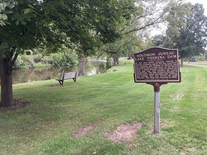
Photographed by Connor Olson, August 26, 2023
2. Theresa Dam Marker and the Rock River
Credits. This page was last revised on September 2, 2023. It was originally submitted on August 26, 2023, by Connor Olson of Menomonee Falls, Wisconsin. This page has been viewed 368 times since then and 28 times this year. Photos: 1, 2. submitted on August 26, 2023, by Connor Olson of Menomonee Falls, Wisconsin. • J. Makali Bruton was the editor who published this page.
