Clyde in Wayne County, New York — The American Northeast (Mid-Atlantic)
Clyde River
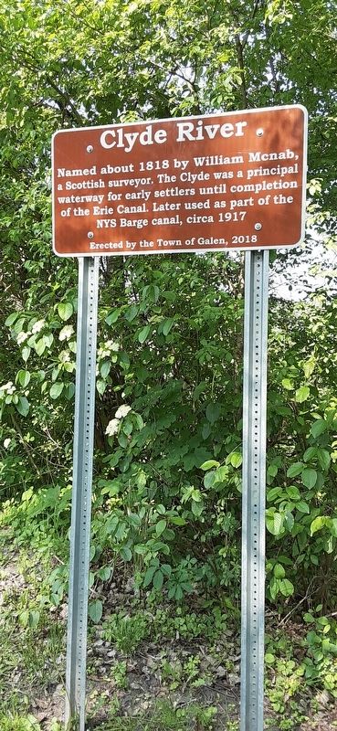
Photographed by Mira Earls, May 27, 2023
1. Clyde River Marker
Erected 2018 by Town of Galen.
Topics. This historical marker is listed in this topic list: Waterways & Vessels. A significant historical year for this entry is 1818.
Location. 43° 4.793′ N, 76° 52.094′ W. Marker is in Clyde, New York, in Wayne County. It is on Meadow Street. Touch for map. Marker is at or near this postal address: 2 Meadow Street, Clyde NY 14433, United States of America. Touch for directions.

Regionally, this marker is in Upstate New York, specifically in Western New York, in the Finger Lakes, and in the Rochester Metropolitan Area. It is also in the American Northeast and in the Mid-Atlantic. Globally, it is in North America, on the Great Lakes, in the Western Hemisphere, in the Western World, and in the Anglosphere. Historically, it finds itself in what was once the Haudenosaunee (Iroquois) Confederacy, New Netherland, and one of the original Thirteen Colonies.
Other nearby markers. At least 8 other markers are within walking distance of this marker: Block House Road (within shouting distance of this marker); West Shore RR (about 400 feet away, measured in a direct line); Revolutionary War (about 600 feet away); The Erie Canal in Clyde (about 700 feet away); Erie Canal (about 700 feet away); a different marker also named Revolutionary War (about 700 feet away); Clyde Blockhouse Historical Site (about 700 feet away); Blockhouse Creek (about 700 feet away). Touch for a list and map of all markers in Clyde.
More about this marker. On the Empire trail
this page online
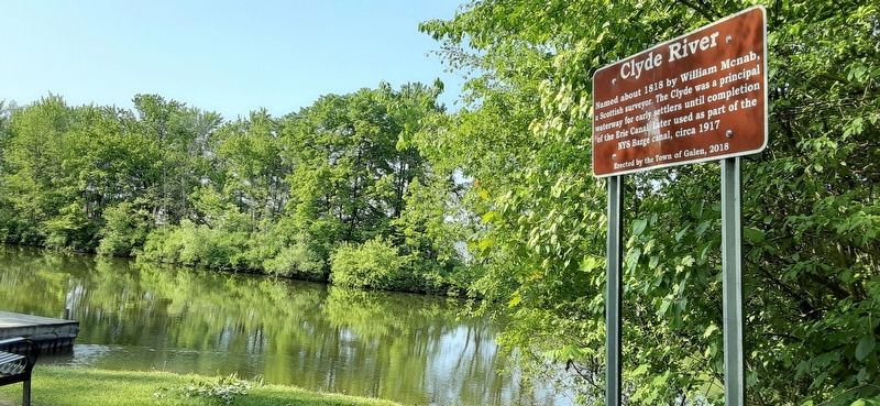
Photographed by Mira Earls, May 27, 2023
2. Clyde River Marker
Credits. This page was last revised on August 31, 2023. It was originally submitted on August 27, 2023, by Mira Earls of Cortland, New York. This page has been viewed 234 times since then and 25 times this year. Photos: 1, 2. submitted on August 27, 2023, by Mira Earls of Cortland, New York. • Andrew Ruppenstein was the editor who published this page.
