Near Mankato in Blue Earth County, Minnesota — The American Midwest (Upper Plains)
Minnesota State Parks
Windows on Minnesota’s Landscapes
— Explore Minnesota's Prairie as Minneopa State Park —
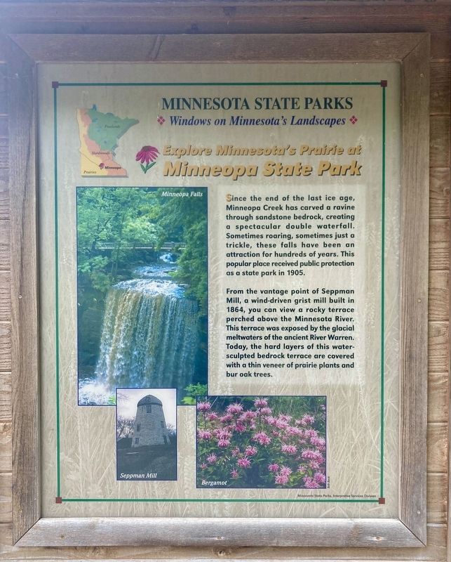
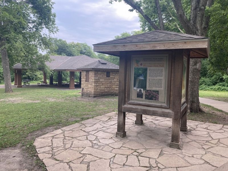
Since the end of the last ice age, Minneopa Creek has carved a ravine through sandstone bedrock, creating a spectacular double waterfall. Sometimes roaring, sometimes just a trickle, these falls have been an attraction for hundreds of years. This popular place received public protection as a state park in 1905.
From the vantage point of Seppman Mill, a wind-driven grist mill built in 1864, you can view a rocky terrace perched above the Minnesota River. This terrace was exposed by the glacial meltwaters of the ancient River Warren. Today, the hard layers of this water-sculpted bedrock terrace are covered with a thin veneer of prairie plants and bur oak trees.
Erected by Minnesota State Parks.
Topics. This historical marker is listed in these topic lists: Environment • Parks & Recreational Areas. A significant historical year for this entry is 1905.
Location. 44° 8.913′ N, 94° 5.497′ W. Marker is near Mankato, Minnesota, in Blue Earth County. Marker can be reached from Gadwall Road west of 547th Avenue. Touch for map. Marker is in this post office area: Mankato MN 56001, United States of America. Touch for directions.
Other nearby markers. At least 8 other markers are within 3 miles of this marker, measured as the crow flies. George M. Palmer (within shouting distance of this marker); Former Homestead of Robert & Frieda Ulmen (approx. 0.2 miles away); The Turning Point (approx. 1˝ miles away); Granary (approx. 1˝ miles away); Seppman Mill (approx. 1˝ miles away); The First Mahkato Memorial Wacipi (approx. 2.7 miles away); Ott Cabin (approx. 2.9 miles away); Geology of Minnesota (approx. 2.9 miles away). Touch for a list and map of all markers in Mankato.
Credits. This page was last revised on August 28, 2023. It was originally submitted on August 17, 2023, by Connor Olson of Kewaskum, Wisconsin. This page has been viewed 80 times since then and 16 times this year. Last updated on August 28, 2023, by McGhiever of Minneapolis, Minnesota. Photos: 1, 2. submitted on August 17, 2023, by Connor Olson of Kewaskum, Wisconsin. • J. Makali Bruton was the editor who published this page.

