West Cook in Cook County, Minnesota — The American Midwest (Upper Plains)
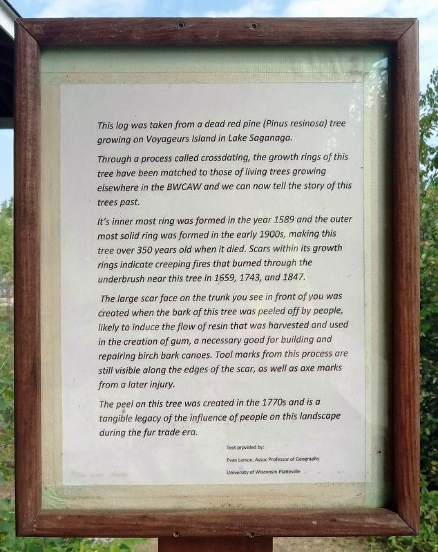
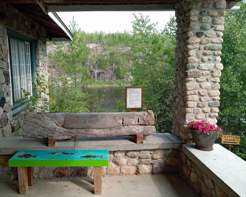
This Log
Through a process called crossdating, the growth rings of this tree have been matched to those of living trees growing elsewhere in the BWCAW and we can now tell the story of this trees [sic] past.
It's [sic] inner most ring was formed in the year 1589 and the outer most solid ring was formed in the early 1900s, making this tree over 350 years old when it died. Scars within its growth rings indicate creeping fires that burned through the underbrush near this tree in 1659, 1743, and 1847.
The large scar face on the trunk you see in front of you was created when the bark of this tree was peeled off by people, likely to induce the flow of resin that was harvested and used in the creation of gum, a necessary good for building and repairing birch bark canoes. Tool marks from this process are still visible along the edges of the scar, as well as axe marks from a later injury.
The peel on this tree was created in the 1770s and is a tangible legacy of the influence of people on this landscape during the fur trade era.
Text provided by:
Evan Larson, Assoc Professor of Geography
University of Wisconsin-Platteville
Erected by Chik-Wauk Museum and Nature Center.
Topics. This historical marker is listed in these topic lists: Anthropology & Archaeology • Environment. A significant historical year for this entry is 1589.
Location. 48° 10.128′ N, 90° 52.846′ W. Marker is in West Cook, Minnesota, in Cook County. Marker can be reached from Moose Pond Drive (County Route 81). The marker is on the porch of the Chik-Wauk Museum. Touch for map. Marker is at or near this postal address: 28 Moose Pond Drive, Grand Marais MN 55604, United States of America. Touch for directions.
Other nearby markers. At least 8 other markers are within 9 miles of this marker, measured as the crow flies. The Trapper Shack (a few steps from this marker); The American Plan Cabin (within shouting distance of this marker); Step back in time... (about 500 feet away, measured in a direct line); Portage Canoe Rest (about 600 feet away); History of Saganaga Lake (approx. 0.3 miles away); a different marker also named History of Saganaga Lake (approx. 0.3 miles away); Gunflint Lake Scenic Overlook (approx. 8.3 miles away); The 2007 Ham Lake Fire (approx. 8.3 miles away). Touch for a list and map of all markers in West Cook.
Credits. This page was last revised on August 29, 2023. It was originally submitted on August 28, 2023, by McGhiever of Minneapolis, Minnesota. This page has been viewed 53 times since then and 5 times this year. Photos: 1, 2. submitted on August 28, 2023, by McGhiever of Minneapolis, Minnesota. • J. Makali Bruton was the editor who published this page.

