Old Glebe in Arlington in Arlington County, Virginia — The American South (Mid-Atlantic)
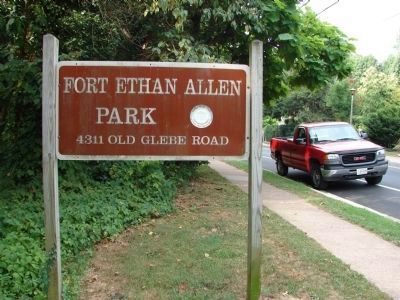
Fort Ethan Allen
Defenses of Washington
1861-1865
Fort Ethan Allen
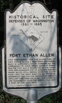
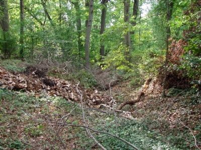
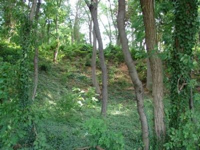
This embankment was the south face of Fort Ethan Allen, a bastioned earthwork built in September 1861 to command all the approaches to Chain Bridge south of Pimmit Run. The fort had a perimeter of 736 yards with emplacements for 39 guns. The embankments which still remain were the south face less the west bastion; an interior bombproof shelter for protection against artillery fire from Hall’s Hill; The magazine and guard house near the north face; and part of the east face.
Erected 1965 by Arlington County, Virginia. (Marker Number 7.)
Topics and series. This historical marker is listed in these topic lists: Forts and Castles • War, US Civil. In addition, it is included in the Defenses of Washington series list. A significant historical month for this entry is September 1861.
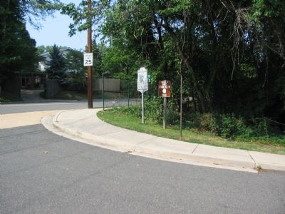
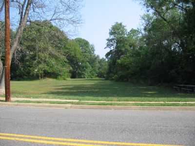
Location. 38° 55.424′ N, 77° 7.49′ W. Marker is in Arlington, Virginia, in Arlington County. It is in Old Glebe. Marker is at the intersection of Old Glebe Road and North Stafford Street, on the right when traveling north on Old Glebe Road. Located at the exit of the parking lot for Madison Community Center, at the south edge of Fort Ethan Allen Park. Touch for map. Marker is at or near this postal address: 3829 North Stafford Street, Arlington VA 22207, United States of America. Touch for directions.
Other nearby markers. At least 8 other markers are within walking distance of this marker. Welcome to Fort Ethan Allen (within shouting distance of this marker); A Defensive Stronghold, Heavily Armed (within shouting distance of this marker); A Bastion-Style Fort Is a Mighty Fortress (within shouting distance of this marker); A Defensive Artillery Fort (within shouting distance of this marker); The View in 1865 (within shouting distance of this marker); Protecting the Fort (about 400 feet away, measured in a direct line); Lives of the Soldiers (about 400 feet away); Fort Ethan Allen—What to Look For (about 400 feet away). Touch for a list and map of all markers in Arlington.
More about this marker. A relief map on the marker plots the location of major elements of the Defenses of Washington.
Additional commentary.
1. Units Stationed at Fort Ethan Allen
Units stationed at the fort at different times include the 4th, 138th, and 169th New York Infantry; 4th New York Heavy Artillery; 69th, 71st, 72nd, 100th, 106th, and 127th Pennsylvania Infantry; and 169th Ohio Infantry.
Source: "Mr. Lincoln's Forts: A Guide to the Civil War Defenses of Washington," by Benjamin Franklin Cooling III and Walton H. Owen II
Of note, the 71st Pennsylvania was also known as the 1st California for a period of time and is detailed on a marker at Balls Bluff Battlefield, Leesburg, VA upstream on the Potomac.
— Submitted September 4, 2007, by Craig Swain of Leesburg, Virginia.
2. 169th Ohio National Guard Soldiers who perished at Fort Ethan Allen
Private Peter Eberly died at the fort July 17th 1864, Private Ross Meyers on July 27th 1864, and Corporal Walter Meyers on July 30th 1864. Note To Editor only visible by Contributor and editor
— Submitted August 9, 2022, by John G Eberly of Midland, Texas.
Credits. This page was last revised on September 13, 2023. It was originally submitted on September 4, 2007, by Craig Swain of Leesburg, Virginia. This page has been viewed 3,155 times since then and 62 times this year. Photos: 1, 2, 3. submitted on September 4, 2007, by Craig Swain of Leesburg, Virginia. 4, 5, 6. submitted on August 6, 2012, by Michael L Price of Charles County, Maryland. • J. J. Prats was the editor who published this page.
