Lake Elizabeth Township near Atwater in Kandiyohi County, Minnesota — The American Midwest (Upper Plains)
Death of Captain Cady
August 26, 2023
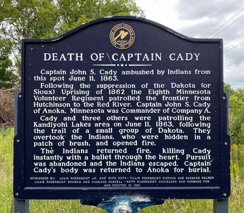
1. Death of Captain Cady Marker
Following the suppression of the Dakota (or Sioux) Uprising of 1862 the Eighth Minnesota Volunteer Regiment patrolled the frontier from Hutchinson to the Red River. Captain John S. Cady of Anoka, Minnesota was Commander of Company A.
Cady and three others were patrolling the Kandiyohi Lakes area on June 11, 1863, following the trail of a small group of Dakota. They overtook the Indians, who were hidden in a patch of brush, and opened fire.
The Indians returned fire, killing Cady instantly with a bullet through the heart. Pursuit was abandoned and the Indians escaped. Captain Cady's body was returned to Anoka for burial.
Erected 1981 by Louis Rosenquist Jr. and wife Ruth – Tillie Rosenquist Rierson and husband Palmer, Lillie Rosenquist Broman and husband Russell – Ruth Rosenquist Danielson and husband Tom.
Topics. This historical marker is listed in this topic list: Wars, US Indian. A significant historical date for this entry is June 11, 1863.
Location. 45° 2.27′ N, 94° 48.583′ W. Marker is near Atwater, Minnesota, in Kandiyohi County. It is in Lake
this page online

Regionally, this marker is in Central Minnesota and specifically in Southwest Minnesota. It is also in the American Midwest and in the Corn Belt. Globally, it is in North America, the Western Hemisphere, the Western World, and the Anglosphere. Historically, it finds itself in what was once Rupert’s Land, the territory of the Mississippian Culture, and the Louisiana Purchase.
Other nearby markers. At least 8 other markers are within 7 miles of this marker, measured as the crow flies: Farm Holiday Association (approx. 1½ miles away); Carrie Johnson (approx. 4.7 miles away); Capitol Hill (approx. 4.9 miles away); US-Dakota War of 1862 Aftermath (approx. 5½ miles away); Tromso Norsk Evangeliske Kirken (approx. 5.9 miles away); Arndahl Lutheran Church (approx. 6.1 miles away); John Other Day Camp (approx. 6.7 miles away);
August 26, 2023
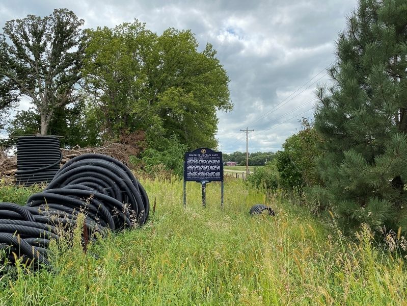
2. Death of Captain Cady Marker, from the east
August 26, 2023
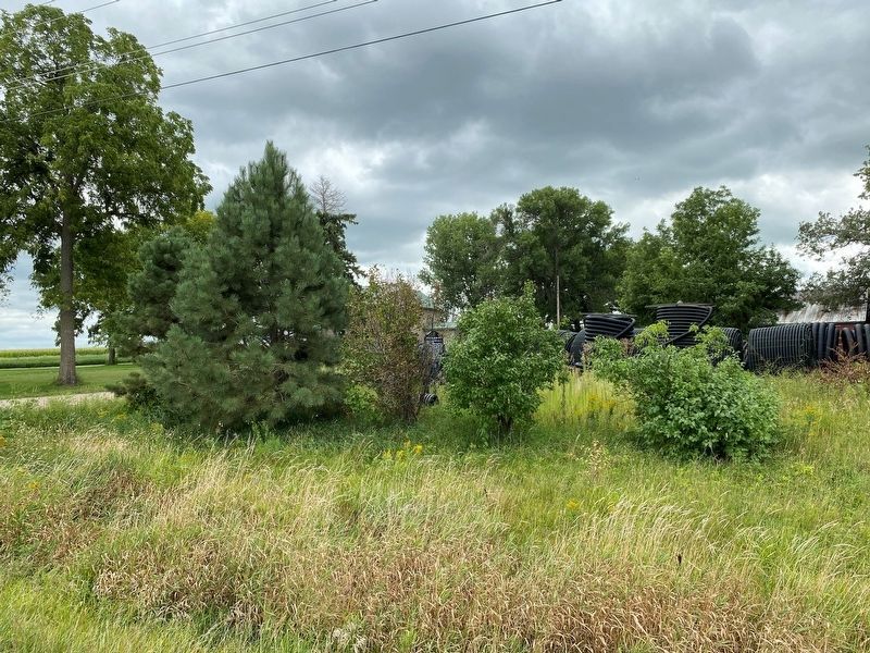
3. Death of Captain Cady Marker, from the northern road
The marker is in the center of the photo.
Credits. This page was last revised on August 29, 2023. It was originally submitted on August 29, 2023. This page has been viewed 543 times since then and 58 times this year. Photos: 1, 2, 3. submitted on August 29, 2023.
