Beltrami in Minneapolis in Hennepin County, Minnesota — The American Midwest (Upper Plains)
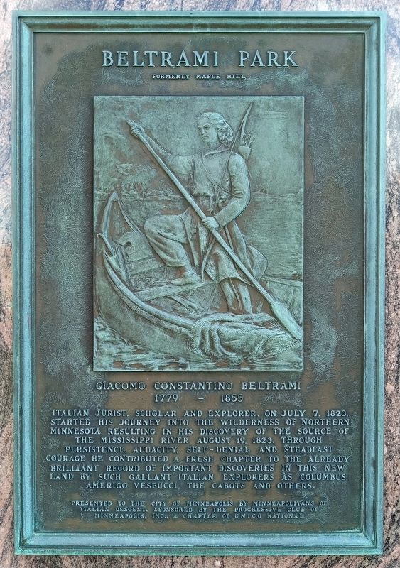
Beltrami Park
Formerly Maple Hill
Photographed by McGhiever, July 16, 2023
1. Beltrami Park Marker
1779 – 1855
Italian jurist, scholar and explorer, on July 7, 1823, started his journey into the wilderness of northern Minnesota resulting in his discovery of the source of the Mississippi River August 19, 1823. Through persistence, audacity, self-denial and steadfast courage he contributed a fresh chapter to the already brilliant record of important discoveries in this new land by such gallant Italian explorers as Columbus, Amerigo Vespucci, the Cabots and others.
Erected by the Progressive Club of Minneapolis, Inc.
Topics. This historical marker is listed in these topic lists: Exploration • Waterways & Vessels. A significant historical date for this entry is July 7, 1823.
Location. 44° 59.911′ N, 93° 14.622′ W. Marker is in Minneapolis, Minnesota, in Hennepin County. It is in Beltrami. It is on Broadway Street NE east of Polk Street NE, on the right when traveling east. Touch for map. Marker is at or near this postal address:
this page online

Regionally, this marker is in the Twin Cities Metropolitan Area. It is also in the American Midwest, in the Corn Belt, and in the Great River Road Region. Globally, it is in North America, the Western Hemisphere, the Western World, and the Anglosphere. Historically, it finds itself in what was once Rupert’s Land, the territory of the Mississippian Culture, and the Louisiana Purchase.
Other nearby markers. At least 8 other markers are within walking distance of this marker: Maple Hill Cemetery (here, next to this marker); Logan Field House (approx. half a mile away); Minneapolis Diagonal Trail (approx. half a mile away); The Quarry (approx. ¾ mile away); Northeast Park Neighborhood (approx. 0.9 miles away); About Mid-City Industrial Area (approx. 0.9 miles away); About Como Neighborhood (approx. one mile away); The Ard Godfrey House (approx. one mile away). Touch for a list and map of all markers in Minneapolis.
Photographed by McGhiever, July 16, 2023
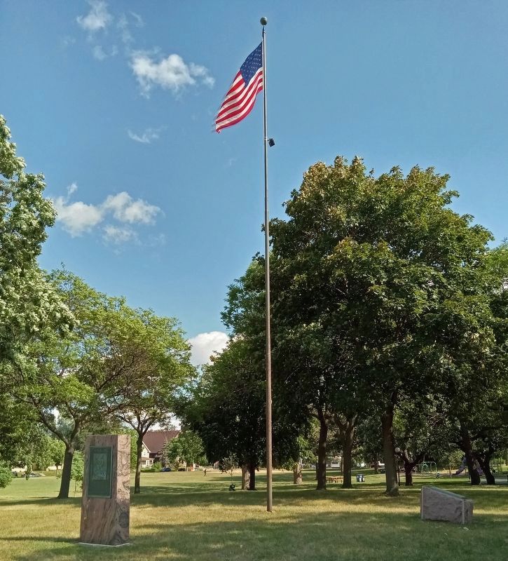
2. Beltrami Park Marker (left) in Beltrami Park
Credits. This page was last revised on August 30, 2023. It was originally submitted on August 2, 2023, by McGhiever of Minneapolis, Minnesota. This page has been viewed 363 times since then and 59 times this year. Last updated on August 29, 2023, by McGhiever of Minneapolis, Minnesota. Photos: 1, 2. submitted on August 2, 2023, by McGhiever of Minneapolis, Minnesota. • J. Makali Bruton was the editor who published this page.
