Bolivar in Jefferson County, West Virginia — The American South (Appalachia)
Harpers Ferry
Prize of War
“It may be said with truth that no spot in the United States experienced more of the horrors of war.”
– Joseph Barry, Harpers Ferry resident
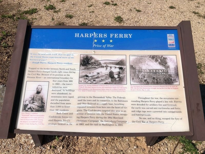
Trapped on the border between North and South, Harpers Ferry changed hands eight times during the Civil War. Because of its position on the Potomac River—an international boundary for four years from 1861 to 1865—the town’s industries were destroyed, its buildings were abandoned, its mountains were raped, and the population dwindled from more than 3,000 to fewer than 100 residents.
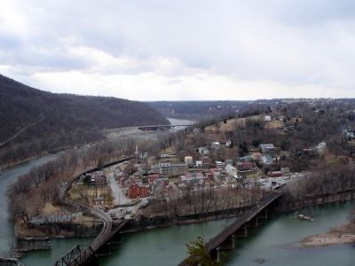
Both Union and Confederate forces coveted Harpers Ferry’s strategic location at the gateway to the Shenandoah Valley. The Federals used the town and its connection to the Baltimore and Ohio Railroad as a supply base, launching repeated invasions from here into the heart of Virginia. The Confederates targeted this area as an avenue of invasion into the United States, occupying Harpers Ferry during the 1862 Maryland (Antietam) Campaign, the Gettysburg Campaign in 1863, and the raid on Washington in 1864.
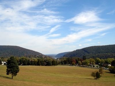
Throughout the war, the mountains surrounding Harpers Ferry played a key role. Forests were denuded for artillery fire and firewood; the earth was carved into earthworks and forts; and ridge tops were converted into campgrounds and battlegrounds.
No one, and no thing, escaped the fury of the Civil War at Harpers Ferry.
Erected 2009 by West Virginia Civil War Trails.
Topics and series. This historical marker is listed in this topic list: War, US Civil. In addition, it is included in the West Virginia Civil War Trails series list. A significant historical year for this entry is 1861.
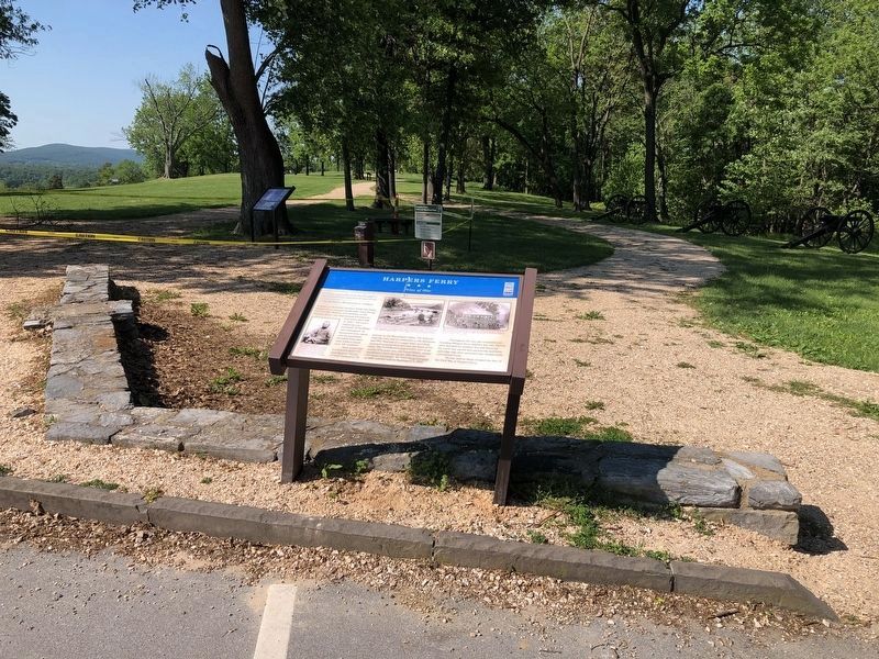
Location. 39° 19.425′ N, 77° 45.672′ W. Marker is in Bolivar, West Virginia, in Jefferson County. Marker is at the intersection of Whitman Avenue and Prospect Avenue, on the right when traveling south on Whitman Avenue. Located at the parking lot for the Bolivar Heights tour stop at Harpers Ferry Historical Park. Touch for map. Marker is in this post office area: Harpers Ferry WV 25425, United States of America. Touch for directions.
Other nearby markers. At least 8 other markers are within walking distance of this marker. Bolivar Heights Trail (here, next to this marker); Historic Heights (a few steps from this marker); Facing the Enemy (a few steps from this marker); Battle of Harpers Ferry / Union Stronghold (a few steps from this marker); Closing the Doors (within shouting distance of this marker); The First Year of War (within shouting distance of this marker); Rats in a Cage (within shouting distance of this marker); Casualties of War (about 400 feet away, measured in a direct line). Touch for a list and map of all markers in Bolivar.
More about this

Photographed By Devry Becker Jones (CC0), May 21, 2021
2. Harpers Ferry Marker
Unfortunately, the marker has moderately weathered.
On the upper middle of the marker is a photograph captioned Former U.S. Armory buildings at Harpers Ferry served as Union Gen. Philip H. Sheridan's quartermaster and commissary supply base during his 1864 campaign in the Shenandoah Valley, where he crushed Confederate Jubal A. Early's army. — Courtesy Harpers Ferry National Historical Park
On the upper right of the marker is a sketch captioned The burning of the United States Arsenal in Harpers Ferry on April 18, 1861, was the first destruction wrought during the Civil War in Virginia. Harpers Weekly, May 11, 1861
Also see . . . Harpers Ferry National Historical Park. National Park Service website (Submitted on October 11, 2009.)
Credits. This page was last revised on May 21, 2021. It was originally submitted on October 11, 2009. This page has been viewed 1,734 times since then and 62 times this year. Photos: 1. submitted on October 11, 2009. 2, 3. submitted on May 21, 2021, by Devry Becker Jones of Washington, District of Columbia. 4, 5. submitted on October 11, 2009. • Craig Swain was the editor who published this page.


