William O'Brien State Park near Marine on St. Croix in Washington County, Minnesota — The American Midwest (Upper Plains)
Wedge Hill
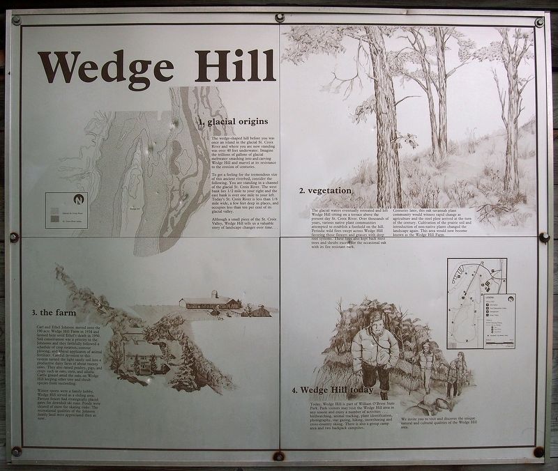
1. glacial origins
To get a feeling for the tremendous size of this ancient riverbed, consider the following. You are standing in a channel of the glacial St. Croix River. The west bank lies 1/2 mile to your right and the east bank is over one mile to your left. Today's St. Croix River is less than 1/6 mile wide, a few feet deep in places, and occupies less tan ten per cent of its glacial valley.
Although a small piece of the St. Croix Valley, Wedge Hill tells us a valuable story of landscape changes over time. . .
2. vegetation
The glacial waters eventually retreated and left Wedge Hill sitting on a terrace above the present day St. Croix River. Over thousands of years, various native plant communities attempted to establish a foothold on the hill. Periodic wild fires swept across Wedge Hill favoring those flowers and grasses with deep root systems. These fires also kept back most trees and shrubs except for the occasional oak with its fire resistant bark.
Centuries later, this oak savannah plant community would witness rapid change as agriculture and the steel plow arrived at the turn of the century. Cultivation of the prairie soil and introduction of non-native plants changed the landscape again. This area would now become known as the Wedge Hill Farm.
3. the farm
Carl and Ethel Johnson moved onto the 190 acre Wedge Hill Farm in 1934 and farmed here until Ethel's death in 1950. Soil conservation was a priority to the Johnsons and they faithfully followed a schedule of crop rotation, contour plowing, and liberal application of animal fertilizer. Careful devotion to this system turned the light sandy soil into a productive dairy farm of about twenty cows. They also raised poultry, pigs, and crops such as oats, corn, and alfalfa. Cattle grazed amid the oaks on Wedge Hill keeping other tree and shrub species from succeeding.
Winter sports were a family hobby. Wedge Hill served as a sliding area. Pasture fences had strategically placed gates for downhill ski runs. Ponds were cleared of snow for skating rinks. The recreational qualities of the Johnson family land were appreciated then as now.
4. Wedge Hill today
Today, Wedge Hill is part of William O'Brien State Park. Park visitors may visit the Wedge Hill area in any season and enjoy a number of activities . . . birdwatching, animal tracking, plant identification, photography, star gazing, hiking, snowshoeing and cross-country skiing. There is also a group camp area and two backpack campsites.
We invite you to visit and discover the unique natural and cultural qualities of the Wedge Hill area.
Erected by Minnesota Department of Natural Resources.
Topics. This historical marker is listed in these topic lists: Agriculture • Environment. A significant historical year for this entry is 1934.
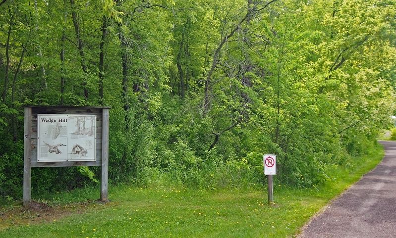
Location. 45° 13.468′ N, 92° 46.169′ W. Marker is near Marine on St. Croix, Minnesota, in Washington County. It is in William O'Brien State Park. Located in William O'Brien State Park (vehicle permit required) on the road to the Wedge Hill Group Camp. Touch for map. Marker is at or near this postal address: 16821 O Brien Trail N, Marine on Saint Croix MN 55047, United States of America. Touch for directions.
Other nearby markers. At least 8 other markers are within 2 miles of this marker, measured as the crow flies. William O'Brien State Park (approx. 0.2 miles away); Lake Alice (approx. half a mile away); Native Cultures and the River (approx. 0.6 miles away); White Pines (approx. 0.7 miles away); The Marine Township Hall (approx. 1.7 miles away); Historic Marine on St. Croix (approx. 1.8 miles away); St. Croix National Scenic Riverway (approx. 1.8 miles away); Marine (approx. 1.8 miles away). Touch for a list and map of all markers in Marine on St. Croix.
Credits. This page was last revised on September 4, 2023. It was originally submitted on September 12, 2021, by McGhiever of Minneapolis, Minnesota. This page has been viewed 220 times since then and 15 times this year. Last updated on September 4, 2023, by McGhiever of Minneapolis, Minnesota. Photos: 1, 2. submitted on September 12, 2021, by McGhiever of Minneapolis, Minnesota. • J. Makali Bruton was the editor who published this page.

