Fort Barry near Sausalito in Marin County, California — The American West (Pacific Coastal)
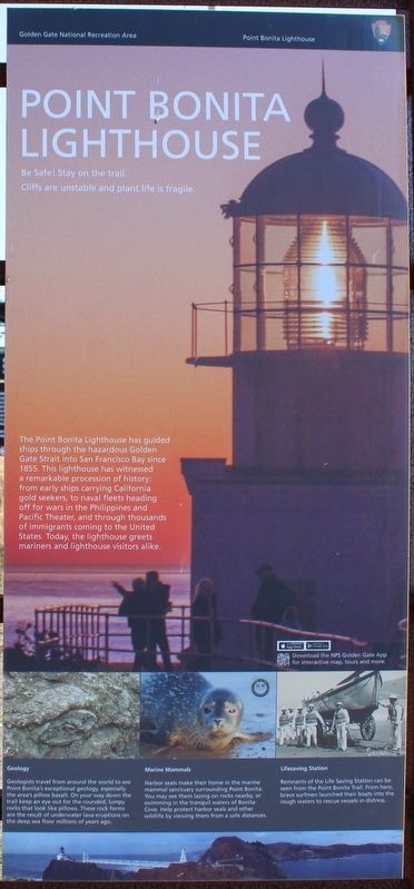
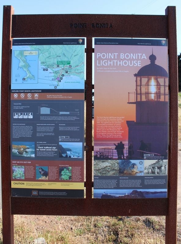
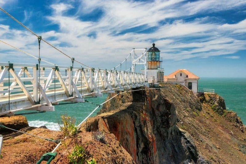
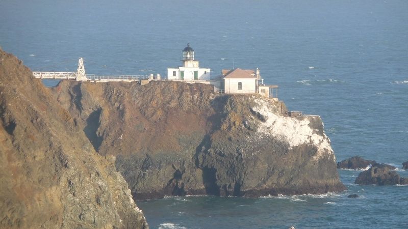
Point Bonita Lighthouse
Golden Gate National Recreation Area
Cliffs are unstable and plant life is fragile.
The Point Bonita Lighthouse has guided ships through the hazardous Golden Gate Strait into San Francisco Bay since 1855. This lighthouse has witnessed a remarkable procession of history: from early ships carrying California gold seekers, to naval fleets heading off for wars in the Philippines and Pacific Theater, and through thousands of immigrants coming to the United States. Today, the lighthouse greets mariners and lighthouse visitors alike.
Geology
Geologists travel from around the world to see Point Bonita’s exceptional geology, especially the area’s pillow basalt. On your way down the trail keep an eye out for the rounded, lumpy rocks that look like pillows. These rock forms are the result of underwater lava eruptions on the deep sea floor millions of years ago.
Marine Mammals
Harbor seals make their home in the marine mammal sanctuary surrounding Point Bonita. You may see them lazing on rocks nearby, or swimming in the tranquil waters of Bonita Cove. Help protect harbor seals and other wildlife by viewing them from a safe distances.
Lifesaving Station
Remnants of the Life Saving Station can be seen from the Point Bonita Trail. From here, brave surfmen launched their boats into the rough waters to rescue vessels in distress.
Erected by National Park Service.
Topics. This historical marker is listed in these topic lists: Communications • Parks & Recreational Areas • Waterways & Vessels. A significant historical year for this entry is 1855.
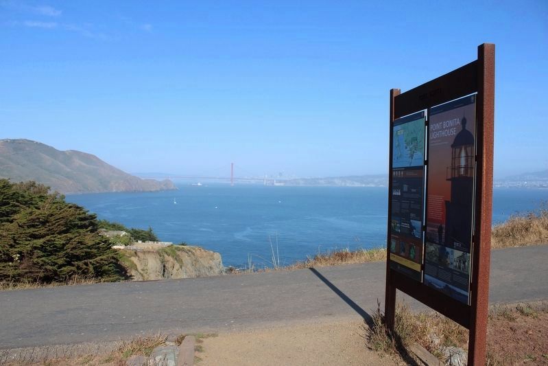
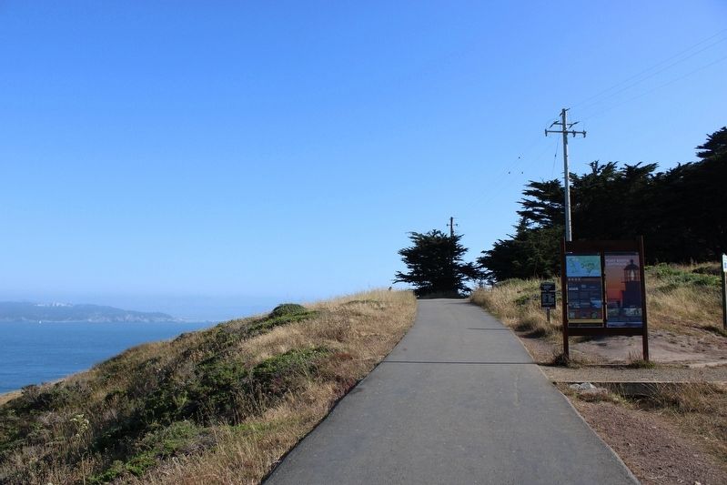
Location. 37° 49.29′ N, 122° 31.778′ W. Marker is near Sausalito, California, in Marin County. It is in Fort Barry. Marker is on Field Road south of Conzelman Road. The resin marker is mounted in a metal frame at the trailhead to the Point Bonita Lighthouse. Touch for map. Marker is in this post office area: Sausalito CA 94965, United States of America. Touch for directions.
Other nearby markers. At least 8 other markers are within 2 miles of this marker, measured as the crow flies. Battery Mendell (about 500 feet away, measured in a direct line); Battery Alexander (approx. 0.3 miles away); a different marker also named Battery Alexander (approx. 0.3 miles away); Nike Missile Site SF88 (approx. 0.3 miles away); Marin Headlands (approx. 0.9 miles away); Cold War Legacy: Missiles to Marine Mammals (approx. 0.9 miles away); Battery Construction No. 129 (approx. 1.7 miles away); The Golden Gate (approx. 1.7 miles away). Touch for a list and map of all markers in Sausalito.
Also see . . . Point Bonita Lighthouse. Lighthousefriends.com
"Congress allocated $25,000 for Point Bonita Lighthouse on March 3, 1853, and the Lighthouse Board again showed its ignorance of the Golden Gate when it selected the highest hill at Point Bonita as the lighthouse site. California fog is characteristically a high fog, leaving lower elevations clear."(Submitted on September 5, 2023, by Joseph Alvarado of Livermore, California.)
Additional keywords. Lighthouse
Credits. This page was last revised on September 5, 2023. It was originally submitted on September 5, 2023, by Joseph Alvarado of Livermore, California. This page has been viewed 53 times since then and 10 times this year. Photos: 1, 2, 3, 4, 5, 6. submitted on September 5, 2023, by Joseph Alvarado of Livermore, California.
