Sausalito in Marin County, California — The American West (Pacific Coastal)
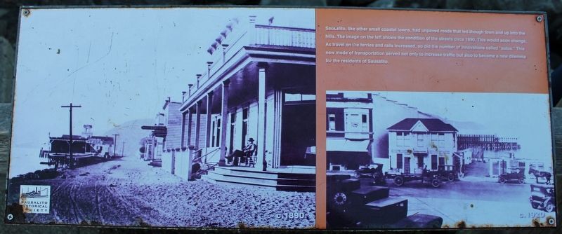
Sausalito
Erected by Sausalito Historical Society.
Topics. This historical marker is listed in these topic lists: Railroads & Streetcars • Roads & Vehicles • Waterways & Vessels. A significant historical year for this entry is 1890.
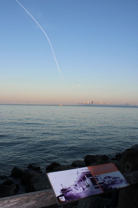
Location. 37° 51.292′ N, 122° 28.732′ W. Marker is in Sausalito, California, in Marin County. Marker is on Bridgeway south of Princess Street, on the right when traveling north. The metal marker is mounted wood railing next to Yee Tock Chee Park. Touch for map. Marker is in this post office area: Sausalito CA 94965, United States of America. Touch for directions.
Other nearby markers. At least 8 other markers are within walking distance of this marker. Becker Building (within shouting distance of this marker); Princess Theater (within shouting distance of this marker); Fiedler's General Store (within shouting distance of this marker); The Tequila Sunrise (about 500 feet away, measured in a direct line); Bank of Sausalito (about 500 feet away); The Trident (about 500 feet away); Sausalito World War I Memorial (about 600 feet away); Old Sausalito City Hall / 1894 Old City Hall (about 600 feet away). Touch for a list and map of all markers in Sausalito.
Credits. This page was last revised on September 5, 2023. It was originally submitted on September 5, 2023, by Joseph Alvarado of Livermore, California. This page has been viewed 51 times since then and 11 times this year. Photos: 1, 2. submitted on September 5, 2023, by Joseph Alvarado of Livermore, California.

