Buchanan in Hamilton, Ontario — Central Canada (North America)
William Terryberry (1779-1847)
William Terryberry
(1779-1847)
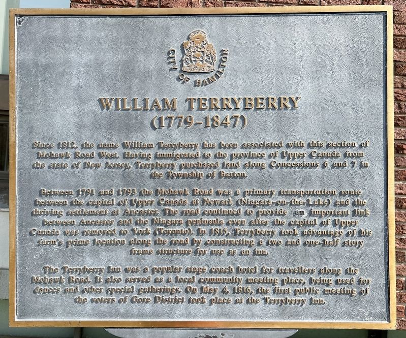
Since 1812, the name William Tenybeny has been associated with this section of Mohawk Road West. Having immigrated to the province of Upper Canada from the state of New Jersey, Terryberry purchased land along Concessions 6 and 7 in the Township of Barton.
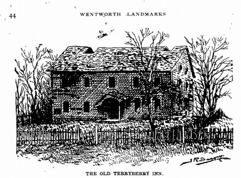
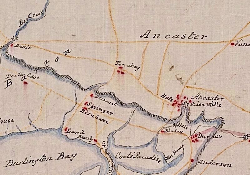
Between 1791 and 1793 the Mohawk Road was a primary transportation route between the capital of Upper Canada at Newark (Niagara-on-the-Lake) and the thriving settlement at Ancaster. The road continued to provide an important link between Ancaster and the Niagara peninsula even after the capital of Upper Canada was removed to York (Toronto). In 1815, Tenybeny took advantage of his farm's prime location along the road by constructing a two and one-half story frame structure for use as an inn.
The Terryberry Inn was a popular stage coach hotel for travellers along the Mohawk road. It also served as a local community meeting place, being used for dances and other special gatherings. On May 4, 1816, the first public meeting of the voters of Gore District took place at the Terryberry Inn.
Erected by City of Hamilton.
Topics. This historical marker is listed in these topic lists: Colonial Era • Industry & Commerce • Roads & Vehicles • Settlements & Settlers. A significant historical date for this entry is May 4, 1816.
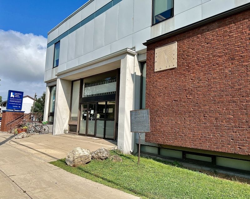
Location. 43° 13.817′ N, 79° 53.216′ W. Marker is in Hamilton, Ontario. It is in Buchanan. Marker is at the intersection of Mohawk Road West and West 5th Street, on the right when traveling west on Mohawk Road West. The marker is at the Terryberry Branch of the Hamilton public Library. Touch for map. Marker is in this post office area: Hamilton ON L9C 3P6, Canada. Touch for directions.
Other nearby markers. At least 8 other markers are within 3 kilometers of this marker, measured as the crow flies. The Honourable Isaac Buchanan and Auchmar/Isaac Buchanan the Builder (approx. one kilometer away); “Claremont Lodge” and “Auchmar”, 1855 (approx. 1.8 kilometers away); The Incline Railway (approx. 1.8 kilometers away); Mountain View Hotel (approx. 1.8 kilometers away); Rymal Family Heritage (approx. 2 kilometers away); The Niagara Escarpment (approx. 2.4 kilometers away); Central Presbyterian Church (approx. 2.4 kilometers away); Friend of the Greenbelt- The Honourable William Grenville Davis (approx. 2.4 kilometers away). Touch for a list and map of all markers in Hamilton.
Also see . . . Mountain Memories: Terryberry, a Hamilton Mountain heritage name. Hamilton Mountain News article from 2017
The name arrived in North America via the state of New Jersey when Stofel (Stephen) Durenburger emigrated there in 1738. After the American Revolution, his grandson William became a Loyalist and followed thousands of immigrants to the Niagara peninsula, ending up in Barton Township on the Mountain in 1810. He and his wife Anne (Young) settled on 168 acres of land on the south side of Mohawk Road between present day West 5th and Garth streets.(Submitted on September 7, 2023, by Tim Boyd of Hamilton, Ontario.)
Credits. This page was last revised on September 9, 2023. It was originally submitted on September 7, 2023, by Tim Boyd of Hamilton, Ontario. This page has been viewed 92 times since then and 39 times this year. Photos: 1, 2, 3, 4. submitted on September 7, 2023, by Tim Boyd of Hamilton, Ontario. • Andrew Ruppenstein was the editor who published this page.


