Vallejo in Solano County, California — The American West (Pacific Coastal)
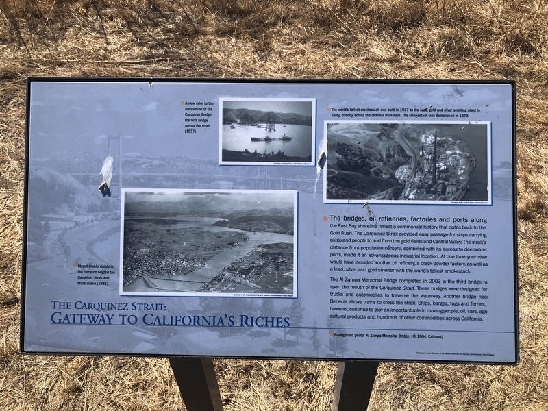
The Carquinez Strait: Gateway to California's Riches

Photographed By Barry Swackhamer, July 1, 2022
1. The Carquinez Strait: Gateway to California's Riches Marker
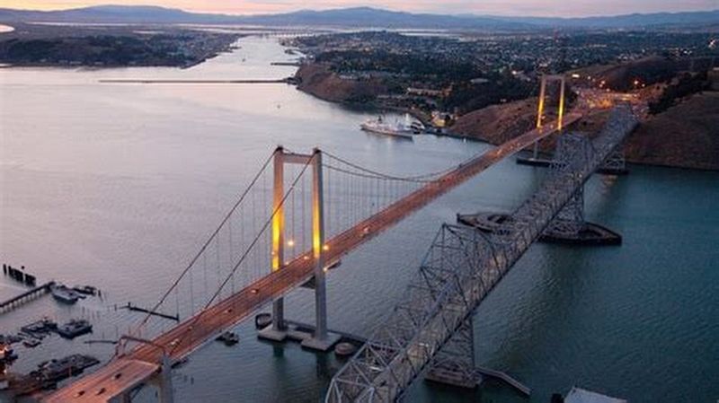
Captions: (background photo) Al Zampa Memorial bridge (© 2004, Caltrans); (center) Mount Diablo visible in the distance beyond the Carquinez Strait and Mare Island (1935).(middle top) A view prior to the completion of the Carquinez Bridge, the first bridge across the strait. (1927); (upper right) The world's tallest smokestack was built in 1937 at the lead, gold, and silver smelting plant in Selby, directly across the channel from here. The smokestack was demolished in 1973.
The Al Zampa Memorial Bridge completed in 2003 is the third bridge to span the mouth of the Carquinez Strait. These bridges were designed for trucks and automobiles to traverse the waterway. Another bridge near Benecia allows trains to cross the strait. Ships, barges, tugs and ferries, however, continue to play an important roe in moving people, oil, cars, agricultural products and hundreds of other commodities across California.
Erected by City of Vallejo.
Topics. This historical marker is listed in these topic lists: Bridges & Viaducts • Man-Made Features • Natural Features. A significant historical year for this entry is 2003.
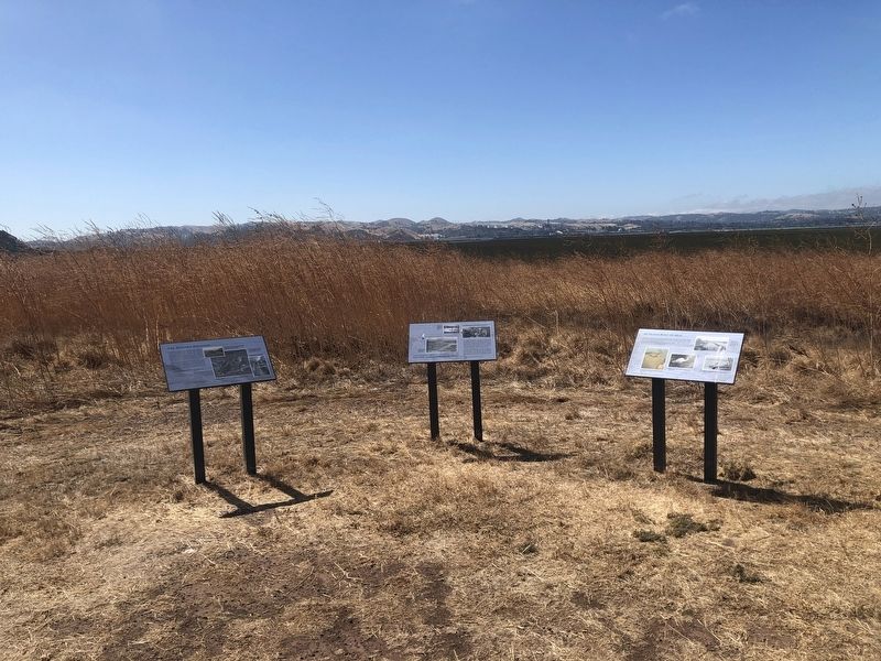
Location. 38° 4.886′ N, 122° 16.748′ W. Marker is in Vallejo, California, in Solano County. Marker can be reached from the intersection of Dump Road and Lawes Street. The marker is located on the Mare Island San Pablo Bay Hiking Trail. Touch for map. Marker is in this post office area: Vallejo CA 94592, United States of America. Touch for directions.
Other nearby markers. At least 8 other markers are within 2 miles of this marker, measured as the crow flies. The Western Magazine (here, next to this marker); An Island Built of Mud (here, next to this marker); St. Peter's Chapel (approx. one mile away); Beyond These Sentry Houses (approx. 1.1 miles away); Officers' Houses (approx. 1.2 miles away); Pillar of the Future Built by the Pillars of the Past (approx. 1.2 miles away); German Marder and Torpedo (approx. 1.2 miles away); H.B.M. Centurian Anchor (approx. 1.2 miles away). Touch for a list and map of all markers in Vallejo.
Also see . . . Carquinez Bridge -- Wikipedia. This new bridge was named the Alfred Zampa Memorial Bridge, after an ironworker who worked on a number of the San Francisco Bay Area bridges, including the Golden Gate Bridge, and the original 1927 Carquinez span. (Submitted on September 8, 2023, by Barry Swackhamer of Brentwood, California.)
Credits. This page was last revised on September 8, 2023. It was originally submitted on September 8, 2023, by Barry Swackhamer of Brentwood, California. This page has been viewed 99 times since then and 59 times this year. Photos: 1, 2, 3. submitted on September 8, 2023, by Barry Swackhamer of Brentwood, California.

