Near Alto in Cherokee County, Texas — The American South (West South Central)
A Welcome Rest
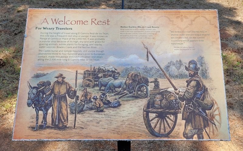
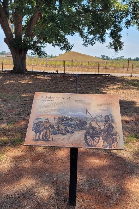
During the height of travel along El Camino Real de los Tejas, this site was a frequent rest stop or paraje. It was known as Paraje el Cerrito or Place of the Little Hill. It was probably a popular stop because of its high, dry land with grass for grazing animals, edible plants for foraging, and nearby water sources: Bowles Creek and the Neches River.
The Caddo burial and temple mounds, still visible though abandoned three to four hundred years prior to European contact, made this paraje distinct from other rest stops along the 2,500 mile long El Camino Real de los Tejas.
Captions
Mother Earth's (Wa-da-t'-i-na) Bounty
What made this location ideal for travelers also made it the most southwestern location of the great Mound Builder cultures. Extensive archeological excavations show that a prosperous Caddo community existed here over 1,200 years ago.
"We forded this river [the Neches] in shallow water and one league beyond we climbed a hill. On the summit is a mound which appears to be hand-made."
-Nicolás de Lafora, Spanish soldier and explorer in 1767
Illustration: Howell Golson
Erected by Caddo Mounds State Historic Site.
Topics. This historical marker is listed in these topic lists: Native Americans • Roads & Vehicles. A significant historical year for this entry is 1767.
Location. 31° 35.929′ N, 95° 9.11′ W. Marker is near Alto, Texas, in Cherokee County. Marker is at the intersection of State Highway 21 and Farm to Market Road 2907 on State Highway 21. The marker is located in the northern section of the Caddo Mounds State Historic Site. Touch for map. Marker is at or near this postal address: 1649 TX-21, Alto TX 75925, United States of America. Touch for directions.
Other nearby markers. At least 8 other markers are within walking distance of this marker. Travel Encounters (within shouting distance of this marker); El Camino Real de los Tejas (within shouting distance of this marker); Famous and Infamous Journeys (about 300 feet away, measured in a direct line); Zebulon Pike Campsite (about 300 feet away); Waystation for Travelers and Traders (about 500 feet away); Burial Mound (about 500 feet away); Natural Spring (approx. 0.2 miles away); Low Platform Mound (approx. 0.2 miles away). Touch for a list and map of all markers in Alto.
More about this marker. The marker is located in the Caddo Mounds State Historic Site and it does require a small entry fee to visit.
Also see . . .
Caddo Mounds State Historic Site. Texas State Historical Association (TSHA)
Caddo Mounds State Historic Site, one of the best known and intensively investigated Indian sites in Texas, is on State Highway 21 about six miles southwest of Alto in southern Cherokee County. It comprises much of what is known to archeologists as the George C. Davis Site, the southwesternmost ceremonial center of the Caddoan peoples who flourished on the western edge of the woodlands of eastern North America between 1000 B.C. and A.D. 1550. Caddo Mounds consists of three large earthen mounds, as well as a large portion of a prehistoric village.(Submitted on September 8, 2023, by James Hulse of Medina, Texas.)
Credits. This page was last revised on September 9, 2023. It was originally submitted on September 8, 2023, by James Hulse of Medina, Texas. This page has been viewed 73 times since then and 27 times this year. Photos: 1, 2, 3. submitted on September 9, 2023, by James Hulse of Medina, Texas.


