Near Alto in Cherokee County, Texas — The American South (West South Central)
Travel Encounters
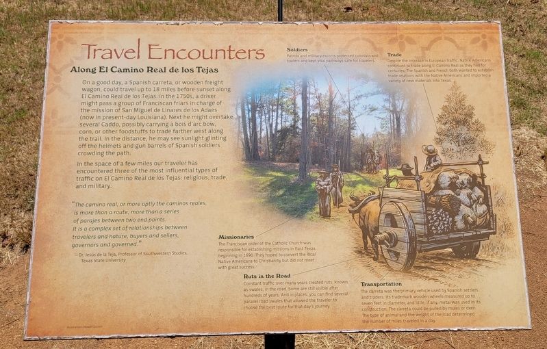
On a good day, a Spanish carreta, or wooden freight wagon, could travel up to 18 miles before sunset along El Camino Real de los Tejas. In the 1750s, a driver might pass a group of Franciscan friars in charge of the mission of San Miguel de Linares de los Adaes (now in present-day Louisiana). Next he might overtake several Caddo, possibly carrying a bois d'arc bow, corn, or other foodstuffs to trade farther west along the trail. In the distance, he may see sunlight glinting off the helmets and gun barrels of Spanish soldiers crowding the path.
In the space of a few miles our traveler has encountered three of the most influential types of traffic on El Camino Real de los Tejas: religious, trade, and military.
"The camino real, or more aptly the caminos reales, is more than a route, more than a series of parajes between two end points. It is a complex set of relationships between travelers and nature, buyers and sellers, governors and governed."
-Dr. Jesús de la Teja, Professor of Southwestern Studies, Texas State University
Captions
Missionaries
The Franciscan order of the Catholic Church was responsible for establishing missions in East Texas beginning in 1690. They hoped to convert the local Native Americans to Christianity but did not meet with great success.
Ruts in the Road
Constant traffic over many years created ruts, known as swales, in the road. Some are still visible after hundreds of years. And in places, you can find several parallel road swales that allowed the traveler to choose the best route for that day's journey.
Soldiers
Patrols and military escorts protected colonists and traders and kept vital pathways safe for travelers.
Trade
Despite the Increase in European traffic, Native Americans continued to trade along El Camino Real as they had for centuries. The Spanish and French both wanted to establish trade relations with the Native Americans and imported a variety of new materials into Texas.
Transportation
The carreta was the primary vehicle used by Spanish settlers and traders. Its trademark wooden wheels measured up to seven feet in diameter, and little, if any, metal was used in its construction. The carreta could be pulled by mules or oxen. The type of animal and the weight of the load determined the number of miles traveled in a day.
Illustration: Howell Colson
Erected by Caddo Mounds State Historic Site.
Topics. This historical marker is listed in these topic lists: Churches & Religion • Industry & Commerce • Native Americans • Roads & Vehicles. A significant historical year for this entry is 1690.
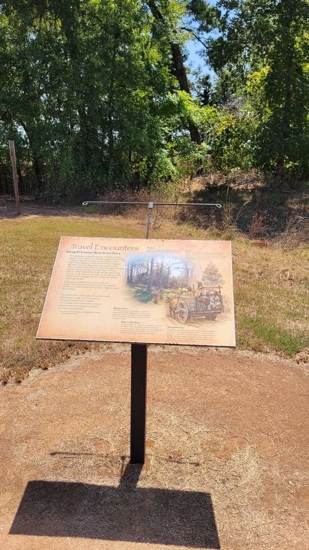
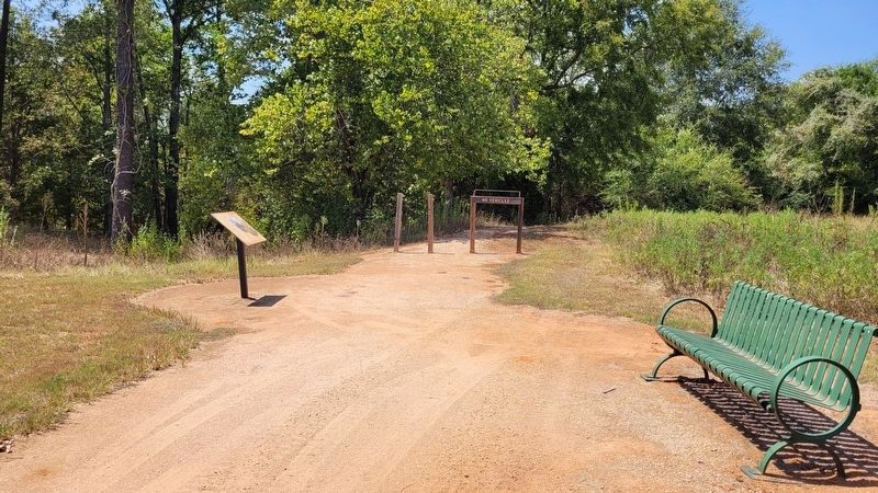
Location. 31° 35.917′ N, 95° 9.145′ W. Marker is near Alto, Texas, in Cherokee County. Marker is at the intersection of State Highway 21 and Farm to Market Road 2907 on State Highway 21. The marker is located in the northern section of the Caddo Mounds State Historic Site. Touch for map. Marker is at or near this postal address: 1649 TX-21, Alto TX 75925, United States of America. Touch for directions.
Other nearby markers. At least 8 other markers are within walking distance of this marker. A Welcome Rest (within shouting distance of this marker); El Camino Real de los Tejas (about 500 feet away, measured in a direct line); Burial Mound (about 500 feet away); Zebulon Pike Campsite (about 500 feet away); Famous and Infamous Journeys (about 500 feet away); Waystation for Travelers and Traders (about 500 feet away); Low Platform Mound (approx. 0.2 miles away); Borrow Pit (approx. 0.2 miles away). Touch for a list and map of all markers in Alto.
More about this marker. The marker is located in the Caddo Mounds State Historic Site and it does require a small entry fee to visit.
Also see . . .
Caddo Mounds State Historic Site. Texas State Historical Association (TSHA)
Caddo Mounds State Historic Site, one of the best known and intensively investigated Indian sites in Texas, is on State Highway 21 about six miles southwest of Alto in southern Cherokee County. It comprises much of what is known to archeologists as the George C. Davis Site, the southwesternmost ceremonial center of the Caddoan peoples who flourished on the western edge of the woodlands of eastern North America between 1000 B.C. and A.D. 1550. Caddo Mounds consists of three large earthen mounds, as well as a large portion of a prehistoric village.(Submitted on September 8, 2023, by James Hulse of Medina, Texas.)
Credits. This page was last revised on September 9, 2023. It was originally submitted on September 8, 2023, by James Hulse of Medina, Texas. This page has been viewed 50 times since then and 12 times this year. Photos: 1, 2, 3. submitted on September 9, 2023, by James Hulse of Medina, Texas.


