Fish Creek in Door County, Wisconsin — The American Midwest (Great Lakes)
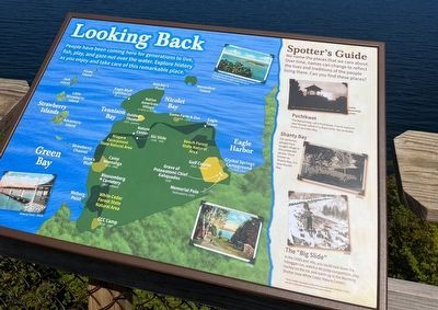
Looking Back
People have been coming here for generations to live, fish, play, and gaze out over the water. Explore history as you enjoy and take care of this remarkable place.
Spotter's Guide
We name the places that we care about. Over time, names can change to reflect the lives and traditions of the people living there. Can you find these places?
Camp Puchikwet
The Menominee call it Puchikwet. French explorer Jean Nicolet called it La Baye Verte. You probably know it as Green Bay.
Shanty Bay
For centuries, people have sought refuge in this protected alcove. Once known as Shanty Bay, it is now Nicolet Bay
The "Big Slide"
In the 1930s and '40s, you could sled down the toboggan run, watch a ski jump competition, play hockey on the ice, and warm up in the Warming Shelter (now White Cedar Nature Center)
Topics. This historical marker is listed in these topic lists: Parks & Recreational Areas • Waterways & Vessels.
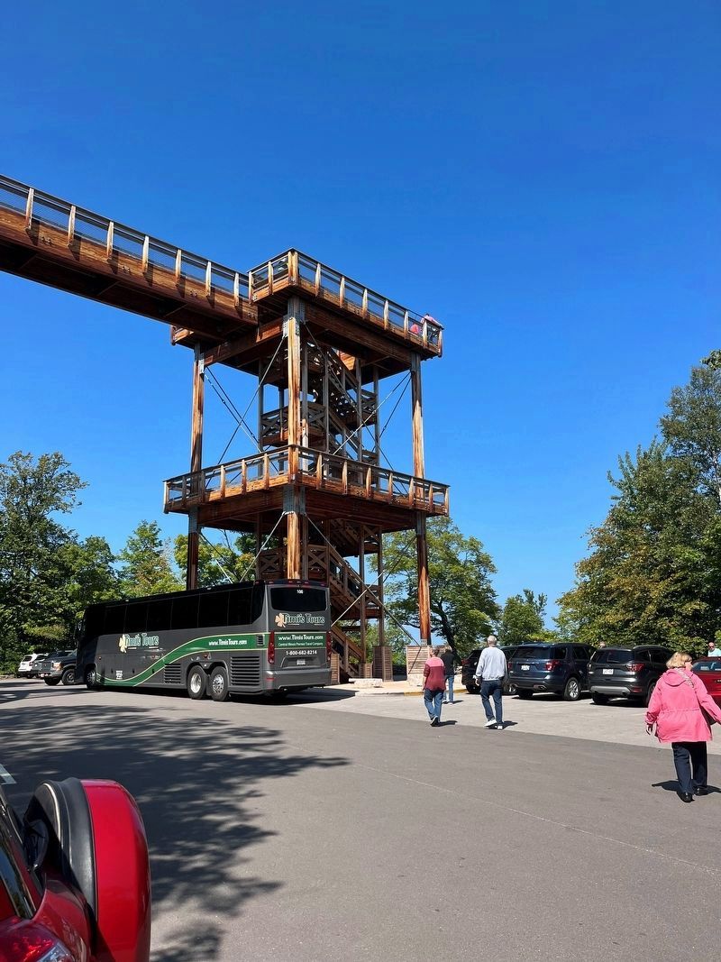
Location. 45° 9.775′ N, 87° 11.889′ W. Marker is in Fish Creek, Wisconsin, in Door County. Marker is on Shore Road, 2 miles Water Street. The marker is atop Eagle Tower. Touch for map. Marker is in this post office area: Fish Creek WI 54212, United States of America. Touch for directions.
Other nearby markers. At least 8 other markers are within walking distance of this marker. Shaped by Water (here, next to this marker); Shipwrecked! (a few steps from this marker); Life on the Ledge (within shouting distance of this marker); A Tough Tree (within shouting distance of this marker); A State Park System is Formed (approx. 0.2 miles away); Albert E. Doolittle (approx. 0.2 miles away); A Road Less Traveled (approx. ¼ mile away); Late Bloomer (approx. 0.3 miles away). Touch for a list and map of all markers in Fish Creek.
Credits. This page was last revised on October 5, 2023. It was originally submitted on September 11, 2023, by Thomas Smith of Waterloo, Ill. This page has been viewed 49 times since then and 11 times this year. Photos: 1, 2, 3. submitted on September 11, 2023, by Thomas Smith of Waterloo, Ill. • J. Makali Bruton was the editor who published this page.


