Confederation Park B in Hamilton, Ontario — Central Canada (North America)
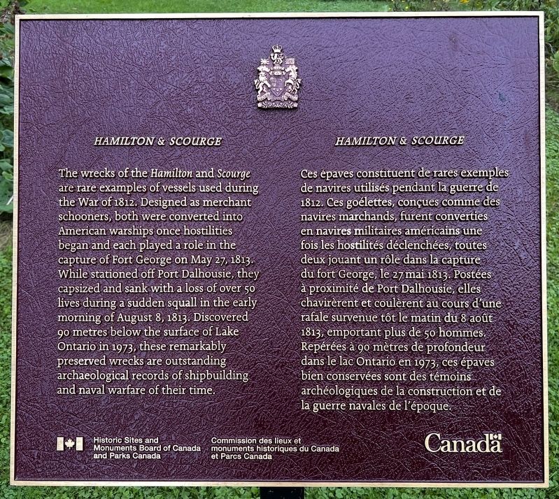
Hamilton & Scourge
Hamilton & Scourge
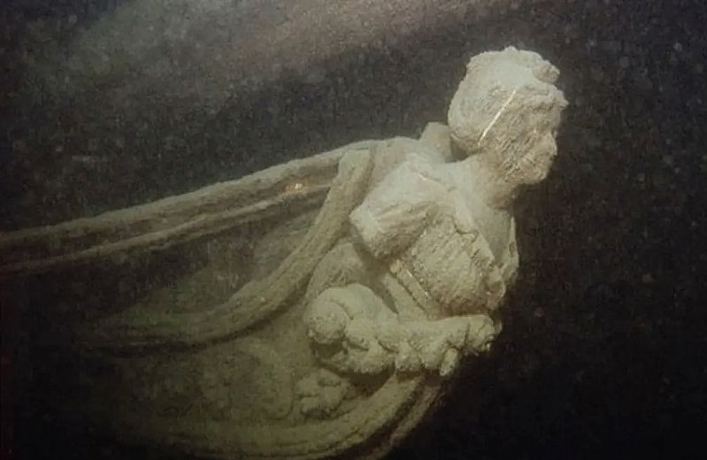
Ces épaves constituent de rares exemples de navires utilisés pendant la guerre de 1812. Ces goélettes, conçues comme des navires marchands, furent converties en navires militaires américains une fois les hostilités déclenchées, toutes deux jouant un rôle dans la capture du fort George, le 27 mai 1813. Postées à proximité de Port Dalhousie, elles chavirèrent et coulèrent au cours d'une rafale survenue tôt le matin du 8 août 1813, emportant plus de 50 hommes. Repérées à 90 mètres de profondeur dans le lac Ontario en 1973, ces épaves bien conservées sont des témoins archéologiques de la construction et de la guerre navales de l'époque.
Erected by Historic Sites and Monuments Board of Canada.
Topics and series. This historical marker is listed in these topic lists: Anthropology & Archaeology • Disasters • War of 1812 • Waterways & Vessels. In addition, it is included in the Canada, Historic Sites and Monuments Board series list. A significant historical date for this entry is August 8, 1813.
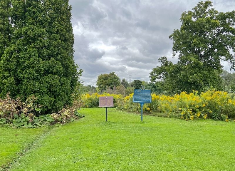
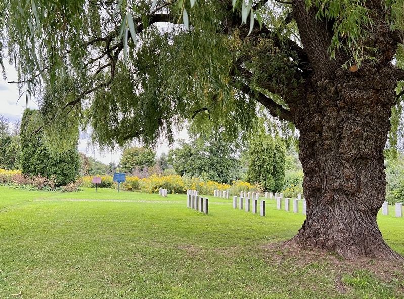
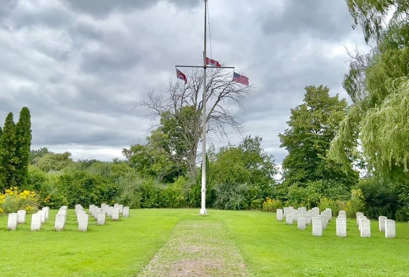
Location. 43° 14.916′ N, 79° 45.201′ W. Marker is in Hamilton, Ontario. It is in Confederation Park B. Marker is on Confederation Drive, 0.7 kilometers south of Van Wagner’s Beach Road, on the left when traveling south. The marker is part of the War of 1812 Memorial Garden. It is accessible from the Waterfront Trail, and from the parking area of the Edgewater Pavilion, off of Confederation Drive. Touch for map. Marker is in this post office area: Hamilton ON L8E L8E, Canada. Touch for directions.
Other nearby markers. At least 8 other markers are within 3 kilometers of this marker, measured as the crow flies. Hamilton - Scourge Project (a few steps from this marker); Discovery of Hamilton and Scourge (within shouting distance of this marker); The Shipwrecks of Confederation Park (approx. one kilometer away); Government House (King’s Head Inn) (approx. 1.6 kilometers away); The Hamilton Waterworks/ La Station de Pompage de Hamilton (approx. 1.8 kilometers away); Jimmy Howard (approx. 2.6 kilometers away); 'Mr. Hamilton' Reg Wheeler (approx. 2.8 kilometers away); Hamilton Aviation History (approx. 3 kilometers away). Touch for a list and map of all markers in Hamilton.
Also see . . . HistoricPlaces.ca - Hamilton And Scourge National Historic Site.
Hamilton and Scourge National Historic Site of Canada is located at the bottom of Lake Ontario 11 kilometres north of Port Dalhousie, near St. Catharines. The site is comprised of the wrecks of two American gunships, the Hamilton and the Scourge, which sank during the War of 1812. The ships are in a remarkably good condition, despite their initial sinking and despite some decay brought about by the passage of years at lake bottom.(Submitted on September 13, 2023, by Tim Boyd of Hamilton, Ontario.)
Credits. This page was last revised on September 14, 2023. It was originally submitted on September 13, 2023, by Tim Boyd of Hamilton, Ontario. This page has been viewed 52 times since then and 4 times this year. Photos: 1, 2, 3, 4, 5. submitted on September 13, 2023, by Tim Boyd of Hamilton, Ontario. • Andrew Ruppenstein was the editor who published this page.
