West Cook in Cook County, Minnesota — The American Midwest (Upper Plains)
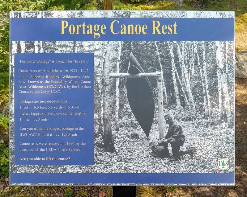
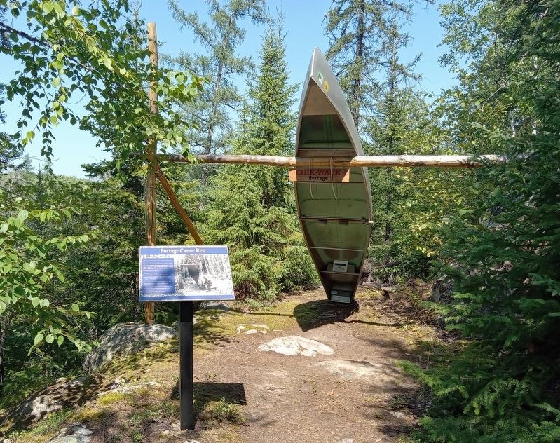
Portage Canoe Rest
The word "portage" is French for "to carry."
Canoe rests were built between 1933 - 1942 in the Superior Roadless Wilderness Area, now known as the Boundary Waters Canoe Area Wilderness (BWCAW), by the Civilian Conservation Corp (CCC).
Portages are measured in rods
1 rod = 16.5 feet, 5.5 yards or 6.0148 meters (approximately one canoe length).
1 mile = 320 rods.
Can you name the longest portage in the BWCAW? Hint: it is over 1280 rods.
Canoe rests were removed in 1995 by the direction of the USDA Forest Service.
Are you able to lift the canoe?
Erected by United States Forest Service.
Topics. This historical marker is listed in these topic lists: Charity & Public Work • Parks & Recreational Areas • Waterways & Vessels. A significant historical year for this entry is 1933.
Location. 48° 10.045′ N, 90° 52.777′ W. Marker is in West Cook, Minnesota, in Cook County. Marker can be reached from Moose Pond Drive (County Route 81). The marker is on the grounds of the Chik-Wauk Museum and Nature Center, behind the Watercraft Exhibit Building. Touch for map. Marker is at or near this postal address: 28 Moose Pond Drive, Grand Marais MN 55604, United States of America. Touch for directions.
Other nearby markers. At least 8 other markers are within 9 miles of this marker, measured as the crow flies. The American Plan Cabin (about 500 feet away, measured in a direct line); This Log (about 600 feet away); The Trapper Shack (about 600 feet away); Step back in time... (about 600 feet away); History of Saganaga Lake (approx. ¼ mile away); a different marker also named History of Saganaga Lake (approx. 0.4 miles away); Gunflint Lake Scenic Overlook (approx. 8.2 miles away); The 2007 Ham Lake Fire (approx. 8.2 miles away). Touch for a list and map of all markers in West Cook.
Credits. This page was last revised on September 18, 2023. It was originally submitted on September 17, 2023, by McGhiever of Minneapolis, Minnesota. This page has been viewed 46 times since then and 7 times this year. Photos: 1, 2. submitted on September 17, 2023, by McGhiever of Minneapolis, Minnesota. • J. Makali Bruton was the editor who published this page.

