Near Idyllwild in Riverside County, California — The American West (Pacific Coastal)
Tahquitz Rock History
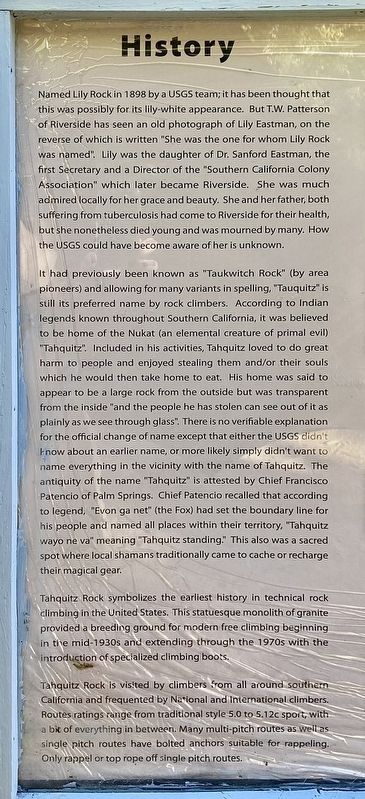
Named Lily Rock in 1898 by a USGS team; it has been thought that this was possibly for its lily-white appearance. But T.W. Patterson of Riverside has seen an old photograph of Lily Eastman, on the reverse of which is written "She was the one for whom Lily Rock was named". Lily was the daughter of Dr. Sanford Eastman, the first Secretary and a Director of the "Southern California Colony Association" which later became Riverside. She was much admired locally for her grace and beauty. She and her father, both suffering from tuberculosis had come to Riverside for their health, but she nonetheless died young and was mourned by many. How the USGS could have become aware of her is unknown.
It had previously been known as "Taukwitch Rock" (by area pioneers) and allowing for many variants in spelling, "Tauquitz" is still its preferred name by rock climbers. According to Indian legends known throughout Southern California, it was believed to be home of the Nukat (an elemental creature of primal evil) "Tahquitz". Included in his activities, Tahquitz loved to do great harm to people and enjoyed stealing them and/or their souls, which he would then take home to eat. His home was said to appear to be a large rock from the outside but was transparent from the inside "and the people he has stolen can see out of it as plainly as we see through glass". There is no verifiable explanation for the official change of name except that either the USGS didn't know about an earlier name, or more likely simply didn't want to name everything in the vicinity with the name of Tahquitz. The antiquity of the name "Tahquitz" is attested by Chief Francisco Patencio of Palm Springs. Chief Patencio recalled that according to legend, "Evon ga net" (the Fox) had set the boundary line for his people and named all places within their territory, "Tahquitz wayo ne va" meaning "Tahquitz standing." This also was a sacred spot where local shamans traditionally came to cache or recharge their magical gear.
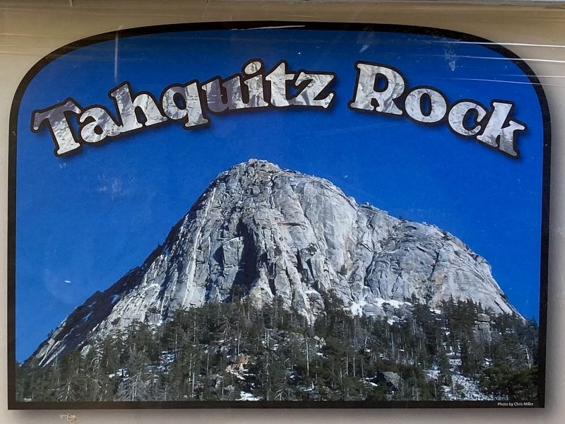
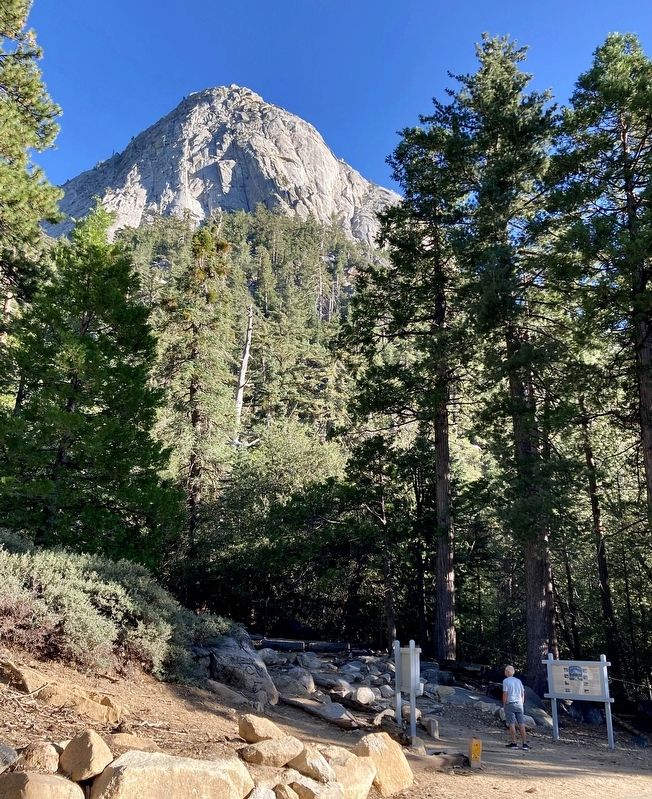
Tahquitz Rock symbolizes the earliest history in technical rock climbing in the United States. This statuesque monolith of granite provided a breeding ground for modern free climbing beginning in the mid-1930s and extending through the 1970s with the introduction of specialized climbing boots.
Tahquitz Rock is visited by climbers from all around southern California and frequented by National and International climbers. Routes ratings range from traditional style 5.0 to 5.12c sport, with a bit of everything in between. Many multi-pitch routes as well as single pitch routes have bolted anchors suitable for rappeling. Only rappel or top rope off single pitch routes.
Topics. This historical marker is listed in these topic lists: Native Americans • Parks & Recreational Areas • Sports. A significant historical year for this entry is 1898.
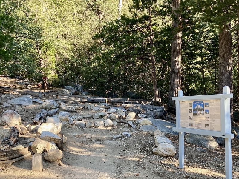
Location. 33° 45.871′ N, 116° 41.153′ W. Marker is near Idyllwild, California, in Riverside County. Marker is on Fern Valley Road, 1.8 miles north of Circle Drive, on the right when traveling north. Located in Humber Park at Devils Slide Trailhead. Touch for map. Marker is at or near this postal address: 24559 Fern Valley Rd, Idyllwild CA 92549, United States of America. Touch for directions.
Other nearby markers. At least 8 other markers are within 4 miles of this marker, measured as the crow flies. Idyllwild Town Hall (approx. 2 miles away); Logging Shaped This Landscape (approx. 2 miles away); The Idyllwild Monument (approx. 2.1 miles away); Hoxie-Vance Cabin (approx. 2.3 miles away); Idyllwild Campground Pictograph (approx. 2.8 miles away); Donaldson Futuro (approx. 3.1 miles away); Speed-of-Light Experiment (approx. 3.4 miles away); Camp Emerson (approx. 3˝ miles away). Touch for a list and map of all markers in Idyllwild.
Credits. This page was last revised on September 21, 2023. It was originally submitted on September 17, 2023, by Craig Baker of Sylmar, California. This page has been viewed 88 times since then and 38 times this year. Photos: 1, 2, 3, 4. submitted on September 17, 2023, by Craig Baker of Sylmar, California.


