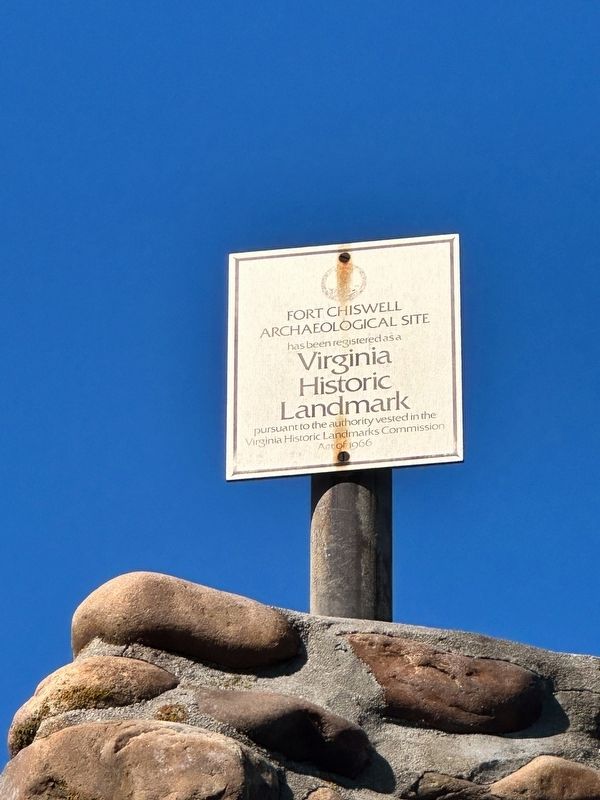
Fort Chiswell in Wythe County, Virginia — The American South (Mid-Atlantic)
Fort Chiswell
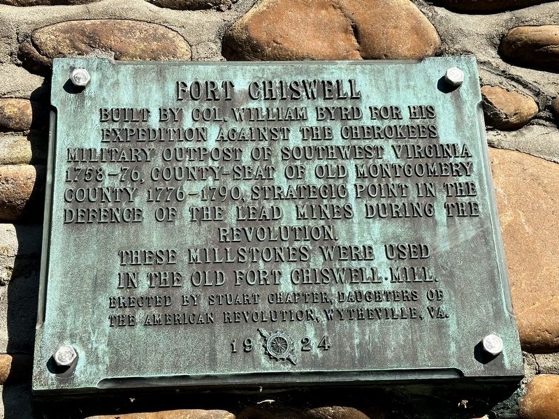
Built by Colonel William Byrd for his expedition against the Cherokees, military outpost of Southwest Virginia 1758-76, county-seat of old Montgomery County 1776-1790, strategic point in the defence of the lead mines during the Revolution.
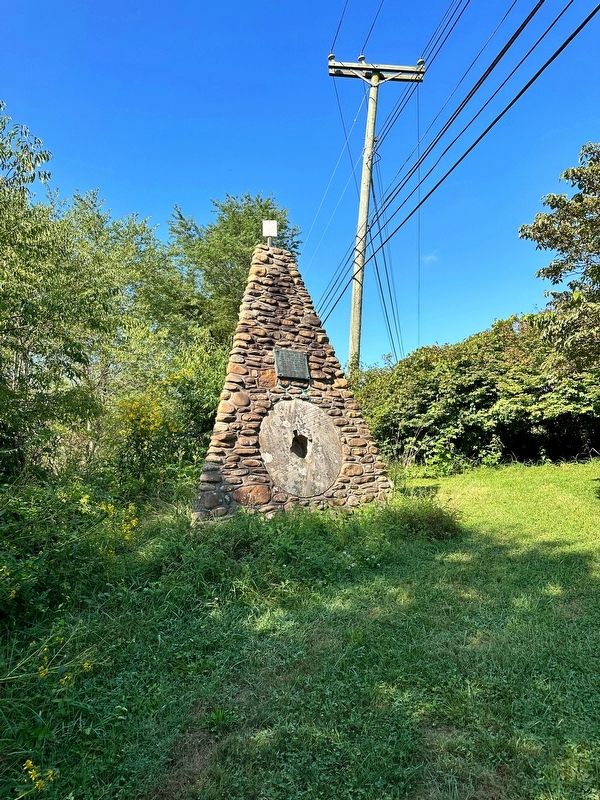
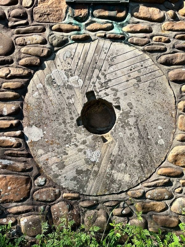
These millstones were used in the old Fort Chiswell Mill.
Erected 1924 by Stuart Chapter, Daughters of the American Revolution, Wytheville, VA.
Topics and series. This historical marker is listed in these topic lists: Colonial Era • Forts and Castles • Native Americans • War, US Revolutionary. In addition, it is included in the Daughters of the American Revolution series list. A significant historical year for this entry is 1758.
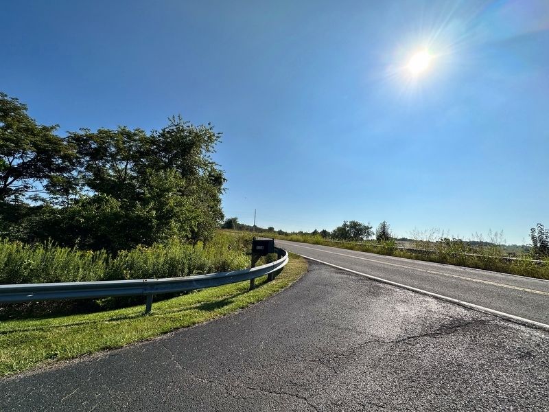
Location. 36° 56.905′ N, 80° 56.059′ W. Marker is in Fort Chiswell, Virginia, in Wythe County. Marker can be reached from East Lee Highway (Route F-044 Frontage Road) 0.9 miles east of Max Meadows Road (Virginia Road 121), on the left when traveling east. The cairn for the marker is accessed via the driveway to the street address listed. There is a turnoff to the west leading to it. Touch for map. Marker is at or near this postal address: 3116 East Lee Highway, Max Meadows VA 24360, United States of America. Touch for directions.
Other nearby markers. At least 8 other markers are within 7 miles of this marker, measured as the crow flies. Wilderness Road (here, next to this marker); Anchor and Hope Plantation (approx. 0.8 miles away); Lead Mines (approx. 0.8 miles away); Fincastle County (approx. 4.7 miles away); Wythe County Poorhouse Farm (approx. 5.6 miles away); Pulaski County / Wythe County (approx. 5.8 miles away); New River (approx. 5.9 miles away); Foster Falls Furnace (approx. 6.1 miles away). Touch for a list and map of all markers in Fort Chiswell.
Also see . . . Fort Chiswell. Excerpt:
Established in 1760 by Colonel William Byrd III as winter quarters while en route to relieve the besieged garrison at Fort Loudoun in Tennessee. That garrison was besieged by a strong force of hostile Cherokee. The overall context of the Cherokee uprising was the French & Indian War but the Cherokee had originally been allies of the British and turned on them as the result of escalating incidents and that conflict came to be known separately as the Anglo-Cherokee War (1758-1761).(Submitted on September 18, 2023, by J.T. Lambrou of New Boston, Michigan.)
Credits. This page was last revised on September 18, 2023. It was originally submitted on September 18, 2023, by J.T. Lambrou of New Boston, Michigan. This page has been viewed 872 times since then and 435 times this year. Photos: 1, 2, 3, 4, 5, 6. submitted on September 18, 2023, by J.T. Lambrou of New Boston, Michigan. • Bernard Fisher was the editor who published this page.
