Fort Chiswell in Wythe County, Virginia — The American South (Mid-Atlantic)
Wilderness Road
Photographed by J.T. Lambrou, September 3, 2023
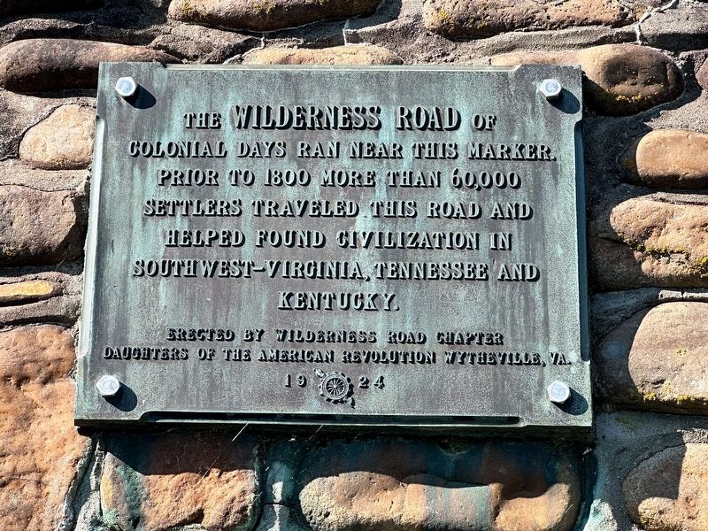
1. Wilderness Road Marker
The Wilderness Road of colonial days ran near this marker. Prior to 1800 more than 60,000 settlers traveled this road and helped found civilization in southwest-Virginia, Tennessee, and Kentucky.
Erected 1924 by Wilderness Road Chapter, Daughters of the American Revolution Wytheville, VA.
Topics and series. This historical marker is listed in these topic lists: Colonial Era • Roads & Vehicles • Settlements & Settlers. In addition, it is included in the Daughters of the American Revolution (DAR) series list. A significant historical year for this entry is 1800.
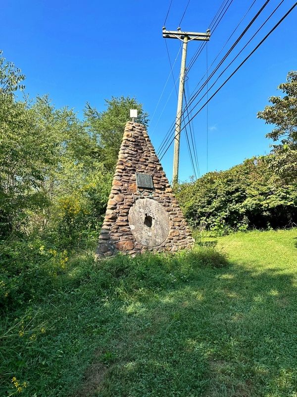
Location. 36° 56.905′ N, 80° 56.058′ W. Marker is in Fort Chiswell, Virginia, in Wythe County. It can be reached from East Lee Highway (Route F-044 Frontage Road) 0.9 miles east of Max Meadows Road (Virginia Road 121), on the left when traveling east. The cairn for the marker is accessed via the driveway to the street address listed. There is a turnoff to the west leading to it. Touch for map. Marker is at or near this postal address: 3116 East Lee Highway, Max Meadows VA 24360, United States of America. Touch for directions.

Regionally, this marker
this page online
Other nearby markers. At least 8 other markers are within 7 miles of this marker, measured as the crow flies: Fort Chiswell (here, next to this marker); Lead Mines (approx. 0.8 miles away); Anchor and Hope Plantation (approx. 0.8 miles away); Fincastle County (approx. 4.7 miles away); Wythe County Poorhouse Farm (approx. 5.6 miles away); Pulaski County / Wythe County (approx. 5.8 miles away); New River (approx. 5.9 miles away); Foster Falls Furnace (approx. 6.1 miles away). Touch for a list and map of all markers in Fort Chiswell.
Another marker is no longer nearby. Lead Mines (was approx. 0.8 miles away but has been replaced with another marker
Photographed by J.T. Lambrou, September 3, 2023
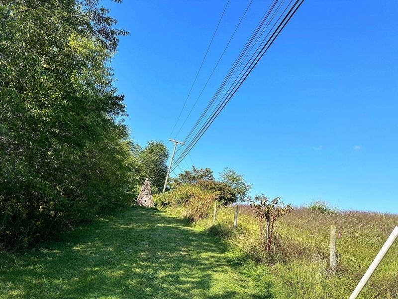
2. Wilderness Road Marker
Also see . . . Wilderness Road. Excerpt:
In 1775, Daniel Boone blazed a trail for the Transylvania Company from Fort Chiswell in Virginia through the Cumberland Gap. It was later lengthened, following Indian trails, to reach the Falls of the Ohio at Louisville. The Wilderness Road was steep, rough and narrow, and could be traversed only on foot or horseback. By contrast, wagons could travel along the National Road route (originally the Braddock Road blazed by the competing Ohio Company and George Washington circa 1750), particularly after the improvements.(Submitted on September 18, 2023, by J.T. Lambrou of New Boston, Michigan.)
Photographed by J.T. Lambrou, September 3, 2023
3. Wilderness Road Marker
Photographed by J.T. Lambrou, September 3, 2023
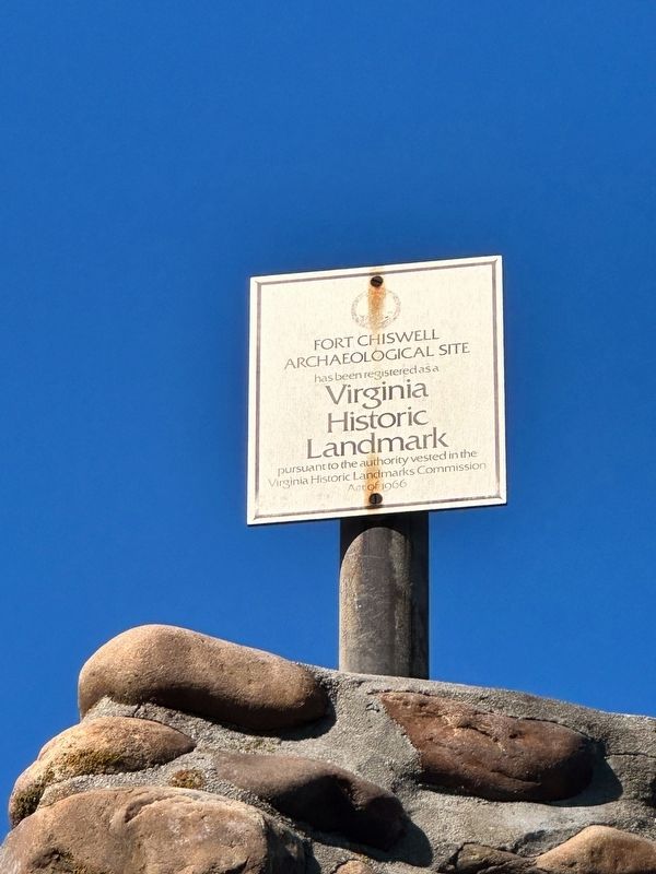
4. Wilderness Road Marker
Additional Virginia Historic Landmark sign mounted atop the cairn.
Photographed by J.T. Lambrou, September 3, 2023
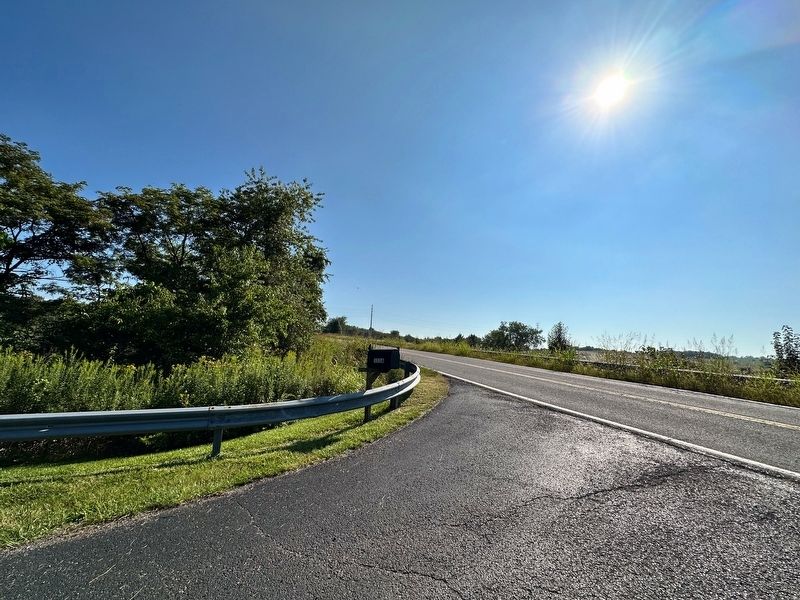
5. Wilderness Road Marker
View from the path to the marker of Lee Highway. It is difficult to find using GPS.
Credits. This page was last revised on September 18, 2023. It was originally submitted on September 18, 2023, by J.T. Lambrou of New Boston, Michigan. This page has been viewed 475 times since then and 55 times this year. Photos: 1, 2, 3, 4, 5. submitted on September 18, 2023, by J.T. Lambrou of New Boston, Michigan. • Bernard Fisher was the editor who published this page.
