Cape Henlopen State Park near Lewes in Sussex County, Delaware — The American Northeast (Mid-Atlantic)
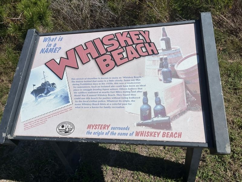
Whiskey Beach
What is in a name?
— Mystery surrounds the origin of the name of Whiskey Beach —
This stretch of shoreline is known to many as "Whiskey Beach." The history behind that name is a little cloudy. Some say that during Prohibition days in the 1920s, this was a rendezvous for rumrunners. Such an isolated site could have been an ideal place to smuggle bootleg liquor ashore. Others believe that the soldiers stationed at nearby Fort Miles during and after World War II named Whiskey Beach. They found they could use this beach for parties without being bothered by the local civilian police. Whatever its origin, the name Whiskey Beach hints at a colorful past for what is now a haven for family recreation.
[Caption:]
During Prohibition, high-speed motor boats picked up bootleg liquor from schooners lying offshore. They carried their illegal cargo ashore all along the Delaware River, often working at night to avoid the Coast Guard.
Erected by Delaware Department of Natural Resources and Environmental Control.
Topics. This historical marker is listed in these topic lists: Industry & Commerce • Parks & Recreational Areas • War, World II • Waterways & Vessels.
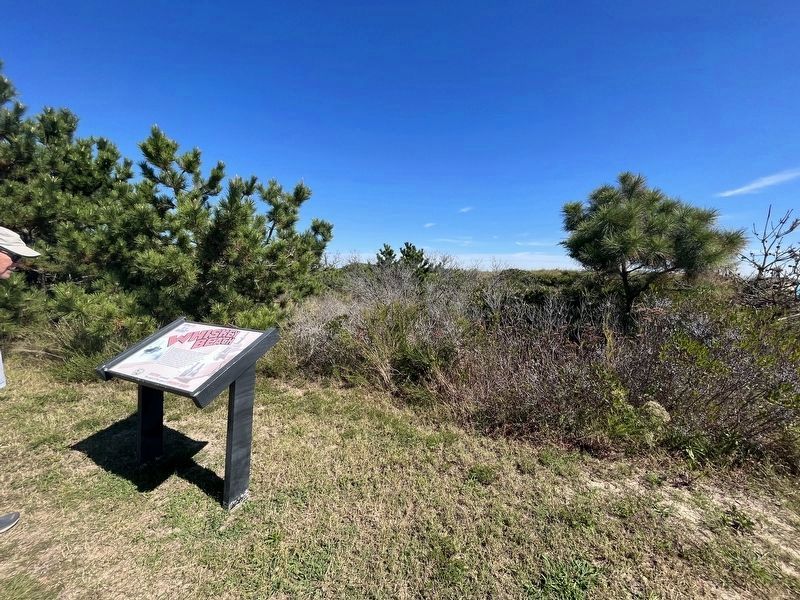
Location. 38° 44.533′ N, 75° 4.876′ W. Marker is near Lewes, Delaware , in Sussex County. It is in Cape Henlopen State Park. Marker can be reached from Ocean Drive (County Road 300) 0.4 miles north of Robins Lane, on the right when traveling north. Touch for map. Marker is at or near this postal address: 9298 Ocean Dr, Lewes DE 19958, United States of America. Touch for directions.
Other nearby markers. At least 8 other markers are within 2 miles of this marker, measured as the crow flies. Formed By Nature And Man (within shouting distance of this marker); Standing Guard (approx. half a mile away); Village Improvement Association (approx. 1˝ miles away); Children's Fishing Pier (approx. 1˝ miles away); Giovanni Da Verrazzano (approx. 1.6 miles away); Tommy Coveleski (approx. 1.7 miles away); Public School in Rehoboth Beach (approx. 1.8 miles away); Walk the Boards (approx. 1.8 miles away). Touch for a list and map of all markers in Lewes.
Credits. This page was last revised on March 27, 2024. It was originally submitted on September 18, 2023, by Devry Becker Jones of Washington, District of Columbia. This page has been viewed 138 times since then and 76 times this year. Photos: 1, 2. submitted on September 18, 2023, by Devry Becker Jones of Washington, District of Columbia.

