Near Ewing in Lee County, Virginia — The American South (Mid-Atlantic)
Pioneer Graves
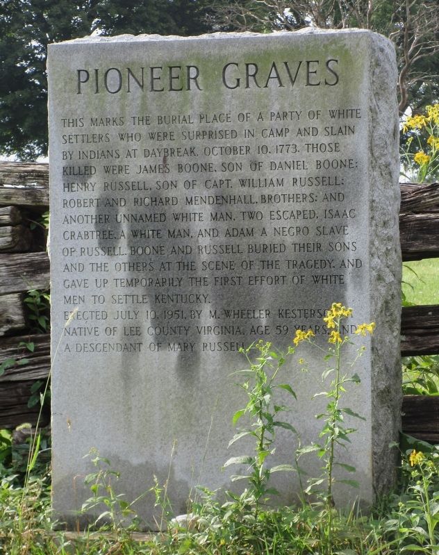
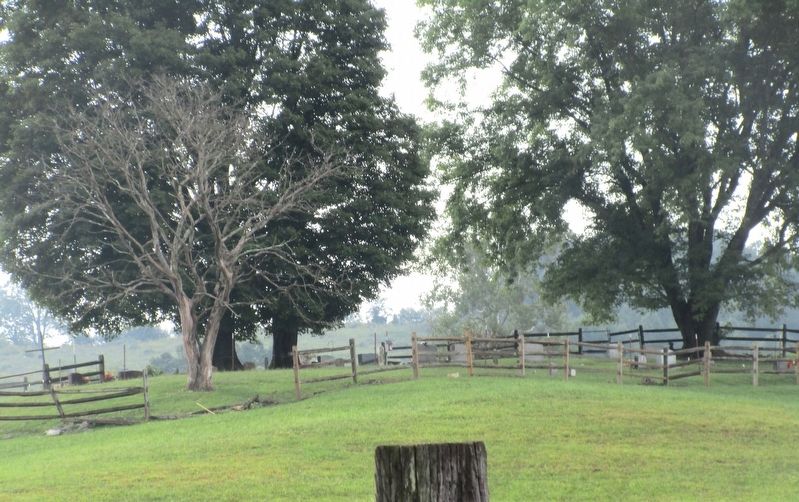
This marks the burial place of a party of white settlers who were surprised in camp and slain by Indians at daybreak, October 10, 1773. Those killed were James Boone, son of Daniel Boone; Henry Russell, son of Capt. William Russell; Robert and Richard Mendenhall, brothers; and another unnamed white man. Two escaped, Isaac Crabtree, a white man, and Adam, a negro slave of Russell. Boone and Russell buried their sons and others at the scene of the tragedy, and gave up temporarily the first effort of white men to settle Kentucky.
Erected July 10, 1951, by M. Wheeler Kesterson, a native of Lee County Virginia, age 59 years, and a descendant of Mary Russell.
Erected 1951 by M. Wheeler Kesterson.
Topics. This historical marker is listed in these topic lists: Cemeteries & Burial Sites • Colonial Era • Exploration • Settlements & Settlers. A significant historical date for this entry is October 10, 1773.
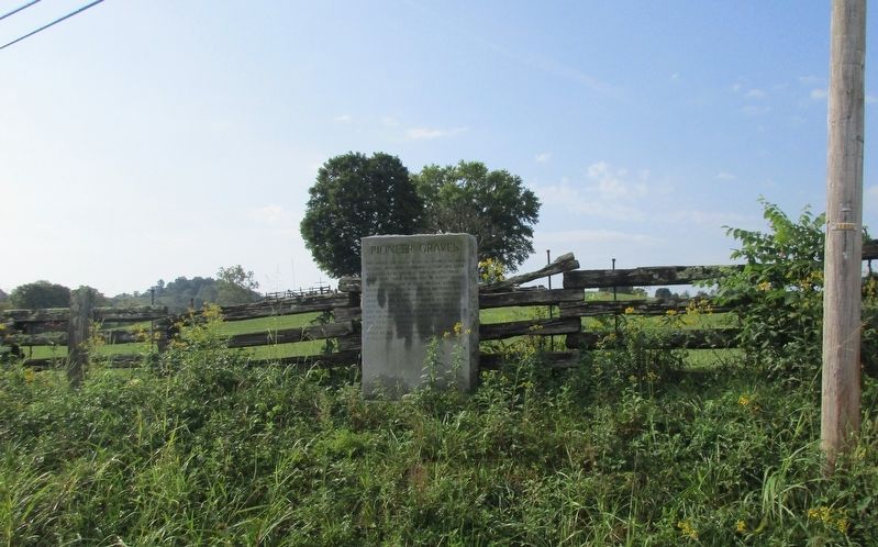
Location. 36° 37.69′ N, 83° 30.347′ W. Marker is near Ewing, Virginia, in Lee County. Marker is at the intersection of Norray Road (County Route 684) and Wilderness Road (U.S. 58), on the right when traveling east on Norray Road. Touch for map. Marker is in this post office area: Ewing VA 24248, United States of America. Touch for directions.
Other nearby markers. At least 8 other markers are within 6 miles of this marker, measured as the crow flies. Lee County Code Breakers (approx. one mile away); Brig. Gen. Joseph Martin 1740-1805 (approx. 1.2 miles away); Dedicated to the Memory of General Joseph Martin (approx. 1.2 miles away); John Ball (approx. 3 miles away); White Rocks (approx. 3˝ miles away); Hiking Up to White Rocks (approx. 4.2 miles away); William H. Starnes: Agricultural Educator (approx. 5.4 miles away); Daniel Boone Trail (approx. 6.1 miles away). Touch for a list and map of all markers in Ewing.
Credits. This page was last revised on September 19, 2023. It was originally submitted on September 18, 2023, by Rev. Ronald Irick of West Liberty, Ohio. This page has been viewed 88 times since then and 28 times this year. Photos: 1, 2, 3, 4. submitted on September 18, 2023, by Rev. Ronald Irick of West Liberty, Ohio. • Bernard Fisher was the editor who published this page.


