Summer Shade in Metcalfe County, Kentucky — The American South (East South Central)
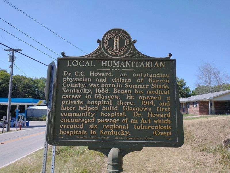
Local Humanitarian
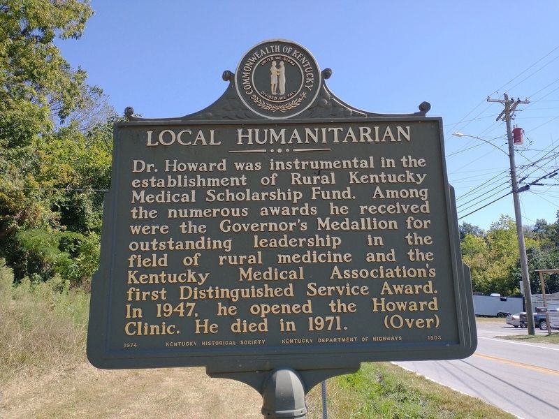
Reverse Description:
Dr. Howard was instrumental in the establishment of Rural Kentucky Medical Scholarship Fund. Among the numerous awards he received were the Governor's Medallion for outstanding leadership in the field of rural medicine and the Kentucky Medical Association's first Distinguished Service Award. In 1947, he opened the Howard Clinic. Died, 1971. (Over)
Erected 1974 by Kentucky Historical Society and Kentucky Department of Highways. (Marker Number 1503.)
Topics. This historical marker is listed in this topic list: Science & Medicine. A significant historical year for this entry is 1888.
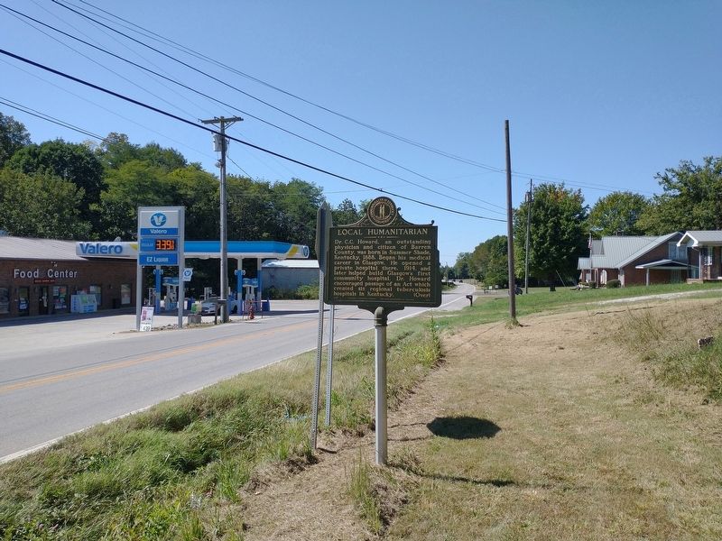
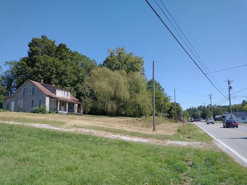
Location. 36° 53.117′ N, 85° 42.36′ W. Marker is in Summer Shade, Kentucky, in Metcalfe County. Marker is at the intersection of Summer Shade Road (Kentucky Route 90) and Nobob Summer Shade Road, on the right when traveling east on Summer Shade Road. Touch for map. Marker is in this post office area: Summer Shade KY 42166, United States of America. Touch for directions.
Other nearby markers. At least 8 other markers are within 9 miles of this marker, measured as the crow flies. Rev. Robert Stockton (approx. 7.7 miles away); Civil War Skirmish (approx. 7.8 miles away); Robert Stockton (approx. 7.9 miles away); County Named, 1860 (approx. 8.3 miles away); William Henry Newman (approx. 8.3 miles away); Metcalfe County War Memorial (approx. 8.3 miles away); Founder of Edmonton (approx. 8.3 miles away); Dripping Springs (approx. 8.4 miles away).
Credits. This page was last revised on September 21, 2023. It was originally submitted on September 20, 2023, by Tom Bosse of Jefferson City, Tennessee. This page has been viewed 76 times since then and 17 times this year. Photos: 1, 2, 3, 4. submitted on September 20, 2023, by Tom Bosse of Jefferson City, Tennessee. • James Hulse was the editor who published this page.


