Burlington in Halton Region, Ontario — Central Canada (North America)
The Brant House
Photographed by Tim Boyd, September 21, 2023
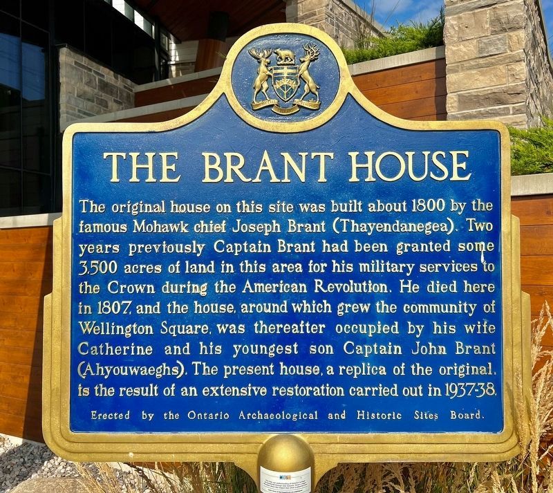
1. The Brant House Marker
Brant’s Block, Wellington Square PDF
Click for more information.
Click for more information.
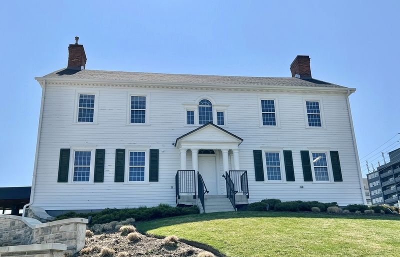
The original house on this site was built about 1800 by the famous Mohawk chief Joseph Brant (Thayendanegea). Two years previously Captain Brant had been granted some 3500 acres of land in this area for his military services to the Crown during the American Revolution. He died here in 1807, and the house, around which grew the community of Wellington Square, was thereafter occupied by his wife Catherine and his youngest son Captain John Brant (Ahyouwaeghs). The present house, a replica of the original, is the result of an extensive restoration carried out in 1937-38.
Erected by Ontario Archeological and Historic Sites Board.
Topics and series. This historical marker is listed in these topic lists: Architecture • Indigenous Peoples and Communities • Settlements & Settlers • War, US Revolutionary. In addition, it is included in the Canada, Ontario Heritage Trust series list. A significant historical year for this entry is 1800.
Location. 43° 19.122′ N, 79° 48.089′ W. Marker is in Burlington, Ontario, in Halton Region. It is at the intersection of Lakeshore Road and North Shore Boulevard East, on the right
this page online

Regionally, this marker is in Greater Toronto, specifically on the Golden Horseshoe, in the Hamilton-Halton-Brant Area, and specifically in the Toronto Metropolitan Area. It is also in Central Canada. Globally, it is in North America, on the Great Lakes, in the Western Hemisphere, in the Western World, and in the Anglosphere. Historically, it finds itself in what was once a British colony, the Viceroyalty of New France, the Haudenosaunee (Iroquois) Confederacy, and Rupert’s Land.
Other nearby markers. At least 8 other markers are within walking distance of this marker: Brant Street Pier (a few steps from this marker); Beach Strip (a few steps from this marker); Joseph Brant Hospital (a few steps from this marker); The Brant Inn (about 90 meters away, measured in a direct line); Victory at Burlington Bay (about 90 meters away); Terry Fox Marathon of Hope (about 120 meters away); a different marker also named The Brant Inn (about
Photographed by Tim Boyd, September 21, 2023
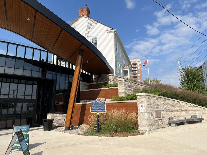
2. The Brant House Marker
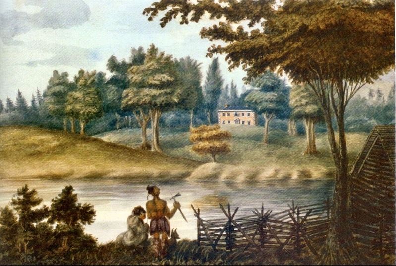
3. The Brant House, 1804, watercolour by Dr. E. Waslh
Source: Burlington Historical Society
Photographed by Tim Boyd, April 27, 2023
4. The Brant House (1930s replica)
Credits. This page was last revised on March 20, 2025. It was originally submitted on September 21, 2023, by Tim Boyd of Hamilton, Ontario. This page has been viewed 1,095 times since then and 327 times this year. Photos: 1, 2, 3, 4. submitted on September 21, 2023, by Tim Boyd of Hamilton, Ontario. • Andrew Ruppenstein was the editor who published this page.
