Wild River State Park near Almelund in Chisago County, Minnesota — The American Midwest (Upper Plains)
What Happened
To the Northern Pine Forests of the St. Croix River Valley?
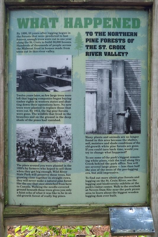
By 1890, 53 years after logging began in the forests that were predicted to last forever, enough trees were cut in one year along the St. Croix to build 50,000 houses. Hundreds of thousands of people across the Midwest lived in houses made from trees cut in this river valley.
Twelve years later, so few large trees were left that logging companies began buying timber rights in western states and shutting down their operations here. No new trees were planted to replace those that were cut. By 1912, the big pine forests were gone. The wildlife that lived in the branches and on the ground in the deep shade of the pines had vanished.
The pines around you were planted in the 1950's by farmers who hoped to sell them when they got big enough. Wild River State Park will preserve these trees, but growing close together in straight rows, they will never make a natural pine forest like the one that once stretched from here to Canada. Walking the needle-covered ground beneath these trees gives you only a faint echo of what it was like to be in an old-growth forest of really big pines.
Many plants and animals are no longer found in this area because the shelter, soil, moisture and shade conditions of the old-growth white pine forests are gone. If you could turn back time, would you try to change what happened?
To see some of the park's biggest remaining white pines, visit the trail along Dry Creek behind the park office. You will see several large pines – less than half the size of the trees of the pre-logging era, but still impressive.
To find out more about pine forests and logging on the St. Croix River, see the logging and biodiversity exhibits at the park's visitor center. Walk to the overlook at Nevers Dam Site near the park picnic area to learn about the biggest wooden logging dam ever built.
[addendum]
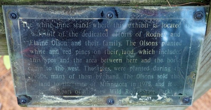
The white pine stand where this exhibit is located is a result of the dedicated efforts of Rodney and Elaine Olson and their family. The Olsons planted white and red pines on their land, which included this spot and the area between here and the horse camp to the west. The trees were planted during the 1950s, many of them by hand. The Olsons sold the land to the state of Minnesota in 1975, and it became part of the new Wild River State Park.
Erected by Minnesota Department of Natural Resources.
Topics. This historical marker is listed in these topic lists: Environment • Horticulture & Forestry • Industry & Commerce • Parks & Recreational Areas. A significant historical year for this entry is 1890.
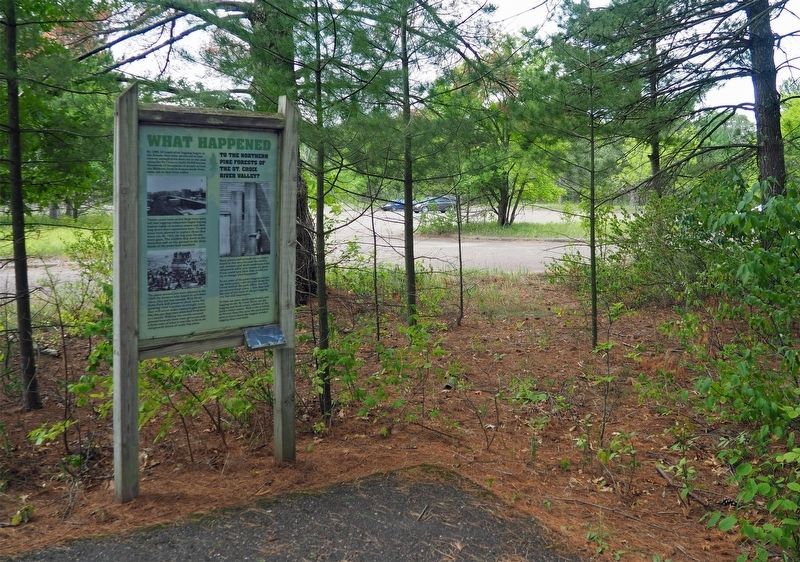
Location. 45° 31.59′ N, 92° 44.72′ W. Marker is near Almelund, Minnesota, in Chisago County. It is in Wild River State Park. Marker can be reached from Equestrian campground Road north of Main park road. The marker is on the west edge of the equestrian parking lot. Touch for map. Marker is at or near this postal address: 37475 Park Trail, North Branch MN 55056, United States of America. Touch for directions.
Other nearby markers. At least 8 other markers are within walking distance of this marker. What Was It Like (within shouting distance of this marker); Bringing Back the Prairie (approx. half a mile away); Wild River State Park (approx. 0.7 miles away); Looking For A Better Life (approx. 0.7 miles away); Military Road (approx. ¾ mile away); The St. Croix River (approx. ¾ mile away); Restored Prairies (approx. ¾ mile away); Conifer Forests (approx. ¾ mile away). Touch for a list and map of all markers in Almelund.
Credits. This page was last revised on September 25, 2023. It was originally submitted on September 24, 2023, by McGhiever of Minneapolis, Minnesota. This page has been viewed 44 times since then and 6 times this year. Photos: 1, 2, 3. submitted on September 24, 2023, by McGhiever of Minneapolis, Minnesota. • J. Makali Bruton was the editor who published this page.


