Near Oak Park Heights in Washington County, Minnesota — The American Midwest (Upper Plains)
Where's the State Boundary?
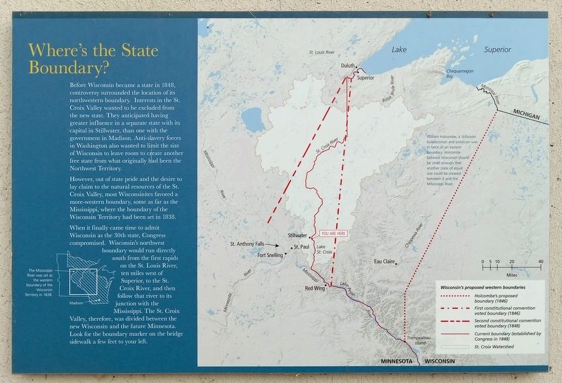
Before Wisconsin became a state in 1848, controversy surrounded the location of its northwestern boundary. Interests in the St. Croix Valley wanted to be excluded from the new state. They anticipated having greater influence in a separate state with its capital in Stillwater, than one with the government in Madison. Anti-slavery forces in Washington also wanted to limit the size of Wisconsin to leave room to create another free state from what originally had been the Northwest Territory.
However, out of state pride and the desire to lay claim to the natural resources of the St. Croix Valley, most Wisconsinites favored a more-western boundary, some as far as the Mississippi, where the boundary of the Wisconsin Territory had been set in 1838.
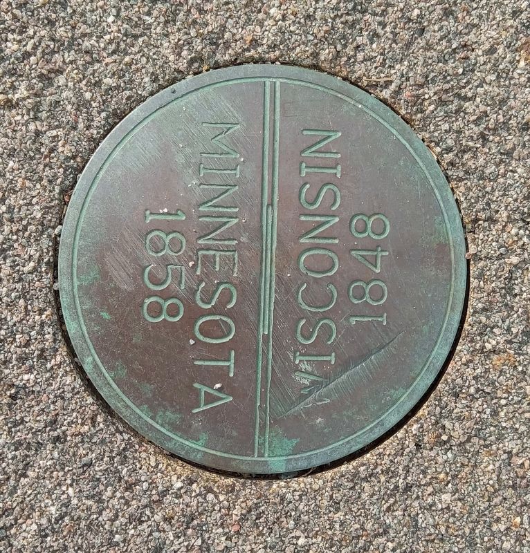
When it finally came time to admit Wisconsin as the 30th state, Congress compromised. Wisconsin's northwest boundary would run directly south from the first rapids on the St. Louis River, ten miles west of Superior, to the St. Croix River, and then follow that river to its junction with the Mississippi. The St. Croix Valley, therefore, was divided between the new Wisconsin and the future Minnesota. Look for the boundary marker on the bridge sidewalk a few feet to your left.
The Mississippi River was set as the western boundary of the Wisconsin Territory in 1838.
William Holcombe, a Stillwater businessman and politician was in favor of an eastern boundary. Holcombe believed Wisconsin should be small enough that another state of equal size could be created between it and the Mississippi River.
Topics. This historical marker is listed in these topic lists: Abolition & Underground RR • Industry & Commerce • Political Subdivisions • Waterways & Vessels. A significant historical year for this entry is 1848.
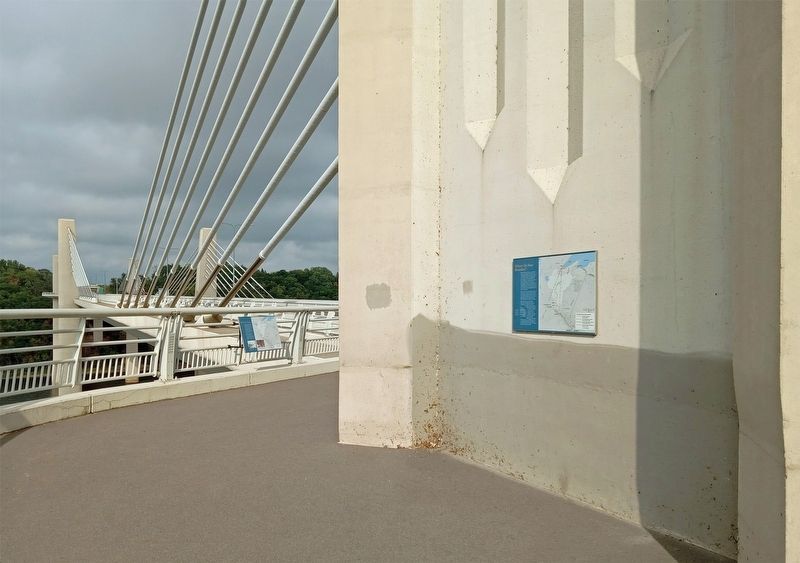
Location. 45° 2.533′ N, 92° 47.113′ W. Marker is near Oak Park Heights, Minnesota, in Washington County. Marker can be reached from Minnesota Route 36, on the right when traveling west. The marker is mounted on the outside of the middle pylon of the St. Croix Crossing bridge, accessible to foot and bicycle traffic on the St. Croix River Crossing Loop Trail. Touch for map. Marker is in this post office area: Stillwater MN 55082, United States of America. Touch for directions.
Other nearby markers. At least 8 other markers are within walking distance of this marker. Steamboats on the St. Croix (a few steps from this marker); White Pine Treaty (a few steps from this marker in Wisconsin); St. Croix Crossing (approx. 0.2 miles away); Building a Bridge (approx. ¼ mile away); Migration (approx. ¼ mile away in Wisconsin); Protecting the Watershed (approx. ¼ mile away in Wisconsin);
Home to Bald Eagles (approx. ¼ mile away in Wisconsin); Brule-St. Croix Waterway (approx. 0.4 miles away in Wisconsin). Touch for a list and map of all markers in Oak Park Heights.
Credits. This page was last revised on September 25, 2023. It was originally submitted on September 24, 2023, by McGhiever of Minneapolis, Minnesota. This page has been viewed 48 times since then and 9 times this year. Photos: 1, 2, 3. submitted on September 24, 2023, by McGhiever of Minneapolis, Minnesota. • J. Makali Bruton was the editor who published this page.


