Stillwater Township in Washington County, Minnesota — The American Midwest (Upper Plains)
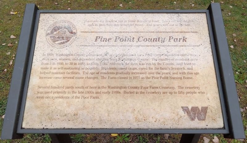
Pine Point County Park
Yours are not the first feet to tread this bit of land. Yours are not the first eyes to gaze into this beautiful forest. And yours will not be the last.
In 1858, Washington County purchased 207 acres of land for a Poor Farm. Residents of the farm were men, women, and dependent children from Washington County. The number of residents grew from 3 in 1860, to 30 in 1881, to 63 in 1936. Although the farm was run by the County, staff tried to make it as self-sustaining as possible. Residents raised crops, cared for the farm's livestock, and helped maintain facilities. The age of residents gradually increased over the years, and with this age increase came several name changes. The Farm closed in 1975 as the Pine Point Nursing Home.
Several hundred yards south of here is the Washington County Poor Farm Cemetery. The cemetery was used primaily [sic] in the late 1800s and early 1900s. Buried in the cemetery are up to fifty people who were once residents of the Poor Farm.
Erected by Washington County.
Topics. This historical marker is listed in these topic lists: Agriculture • Cemeteries & Burial Sites • Charity & Public Work. A significant historical year for this entry is 1858.
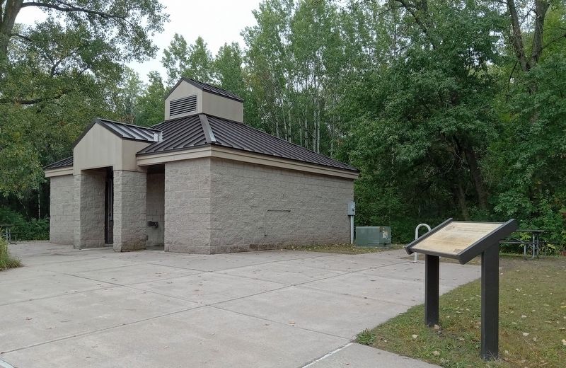
Location. 45° 7.233′ N, 92° 50.275′ W. Marker is near Stillwater, Minnesota, in Washington County. It is in Stillwater Township. Marker is on Norell Avenue North (County Route 55) south of 120th Street North, on the right when traveling south. The marker is in Pine Point Regional Park (fee area), just west of the restrooms at the south end of the parking lot. Touch for map. Marker is at or near this postal address: 11900 Norell Avenue N, Stillwater MN 55082, United States of America. Touch for directions.
Other nearby markers. At least 8 other markers are within 4 miles of this marker, measured as the crow flies. Restoring Oak Woods and Prairies: Why Do It? (a few steps from this marker); Historic Span of an Iron Bridge (approx. 1.7 miles away); Bridging Brown's Creek (approx. 3.1 miles away); Brown's Creek Revival (approx. 3˝ miles away); Life at the Boom (approx. 3˝ miles away); Controlling A River Of Logs (approx. 3˝ miles away); St. Croix Boom Site (approx. 3˝ miles away); Geology of Minnesota (approx. 3˝ miles away). Touch for a list and map of all markers in Stillwater.
Additional keywords. Pine Point County Park
Credits. This page was last revised on September 28, 2023. It was originally submitted on September 27, 2023, by McGhiever of Minneapolis, Minnesota. This page has been viewed 84 times since then and 36 times this year. Photos: 1, 2. submitted on September 27, 2023, by McGhiever of Minneapolis, Minnesota. • J. Makali Bruton was the editor who published this page.

