Near New Liberty in Massac County, Illinois — The American Midwest (Great Lakes)
Archaeology
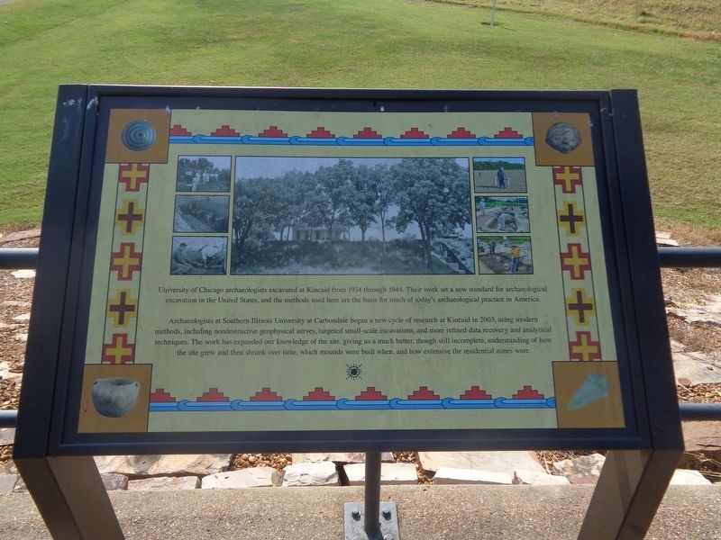
Archaeologists at Southern Illinois University at Carbondale began a new cycle of research at Kincaid in 2003, using modern methods, including nondestructive geophysical survey, targeted small-scale excavations, and more refined data recovery and analytical techniques. The work has expanded our knowledge of the site, giving us a much better, though still incomplete, understanding of how the site grew and then shrank over time, which mounds were built when, and how extensive the residential zones were.
Topics. This historical marker is listed in these topic lists: Anthropology & Archaeology • Education • Native Americans. A significant historical year for this entry is 1934.
Location. 37° 4.782′ N, 88° 29.442′ W. Marker is near New Liberty, Illinois, in Massac County. Marker can be reached from Newcut Road, 4 miles south of County Route 6, on the left when traveling east. Marker is on the grounds of Kincaid Mounds State Historic Site. Touch for map. Marker is at or near this postal address: Newcut Rd, Brookport IL 62910, United States of America. Touch for directions.
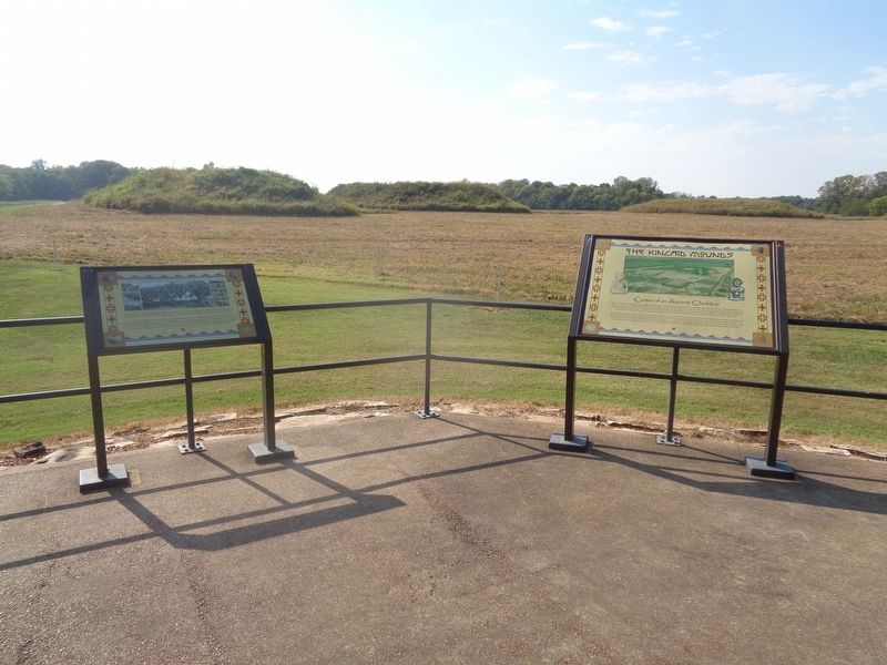
Other nearby markers. At least 8 other markers are within 6 miles of this marker, measured as the crow flies. The Kincaid Mounds (here, next to this marker); Clark's Army Camped / Clark's Land (approx. 4 miles away in Kentucky); Paducah, Kentucky / McCracken County (approx. 4.8 miles away in Kentucky); Confederate Flag of Welcome / Rescue of Flag (approx. 5.3 miles away in Kentucky); Paducah Furnace / Iron Made in Kentucky (approx. 5˝ miles away in Kentucky); Western Baptist Hospital (approx. 5.7 miles away in Kentucky); Paducah Coca-Cola Bottling Company (approx. 5.7 miles away in Kentucky); Union Labor (approx. 5.7 miles away in Kentucky).
Also see . . .
1. Kincaid Mounds (official website). (Submitted on September 29, 2023, by Jason Voigt of Glen Carbon, Illinois.)
2. Kincaid Mounds State Historic Site on Wikipedia. (Submitted on September 29, 2023, by Jason Voigt of Glen Carbon, Illinois.)
Credits. This page was last revised on September 29, 2023. It was originally submitted on September 29, 2023, by Jason Voigt of Glen Carbon, Illinois. This page has been viewed 46 times since then and 10 times this year. Photos: 1, 2, 3. submitted on September 29, 2023, by Jason Voigt of Glen Carbon, Illinois.


