Winrock in Conway County, Arkansas — The American South (West South Central)
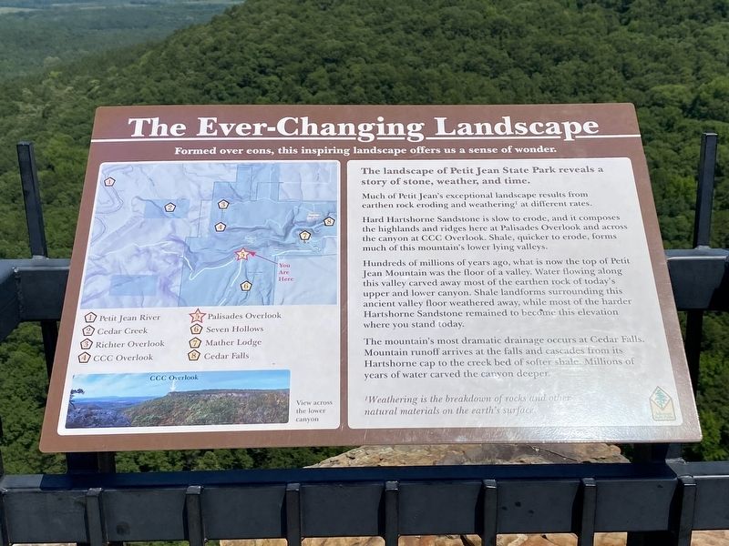
The Ever-Changing Landscape
Formed over eons, this inspiring landscape offers us a sense of wonder.
The landscape of Petit Jean State Park reveals a story of stone, weather, and time.
Much of Petit Jean's exceptional landscape results from earthen rock eroding and weathering' at different rates.
Hard Hartshorne Sandstone is slow to erode, and it composes the highlands and ridges here at Palisades Overlook and across the canyon at CCC Overlook. Shale, quicker to erode, forms much of this mountain's lower lying valleys.
Hundreds of millions of years ago, what is now the top of Petit Jean Mountain was the floor of a valley. Water flowing along this valley carved away most of the earthen rock of today's upper and lower canyon. Shale landforms surrounding this ancient valley floor weathered away, while most of the harder Hartshorne Sandstone remained to become this elevation where you stand today.
The mountain's most dramatic drainage occurs at Cedar Falls. Mountain runoff arrives at the falls and cascades from its Hartshorne cap to the creek bed of softer shale. Millions of years of water carved the canyon deeper.
Weathering is the breakdown of rocks and other natural materials on the earth's surface.
Topics. This historical marker is listed in these topic lists: Environment • Parks & Recreational Areas.
Location. 35° 6.899′ N, 92° 57.064′ W. Marker is in Winrock, Arkansas, in Conway County. Marker is on Petit Jean Mountain Road, on the right when traveling west. Touch for map. Marker is in this post office area: Morrilton AR 72110, United States of America. Touch for directions.
Other nearby markers. At least 8 other markers are within 2 miles of this marker, measured as the crow flies. Palisades Overlook: Your Gateway to the West (a few steps from this marker); Rock House Cave: Rock Art (approx. 0.9 miles away); Arkansas's First State Park (approx. one mile away); Special Places to See (approx. one mile away); Geology of Cedar Creek Falls Overlook (approx. one mile away); Two Dominant Fossils of the Area (approx. one mile away); The Old Pioneer Cabin (approx. 1.3 miles away); Cement Sculptures by Dionicio Rodriguez (approx. 1.7 miles away). Touch for a list and map of all markers in Winrock.
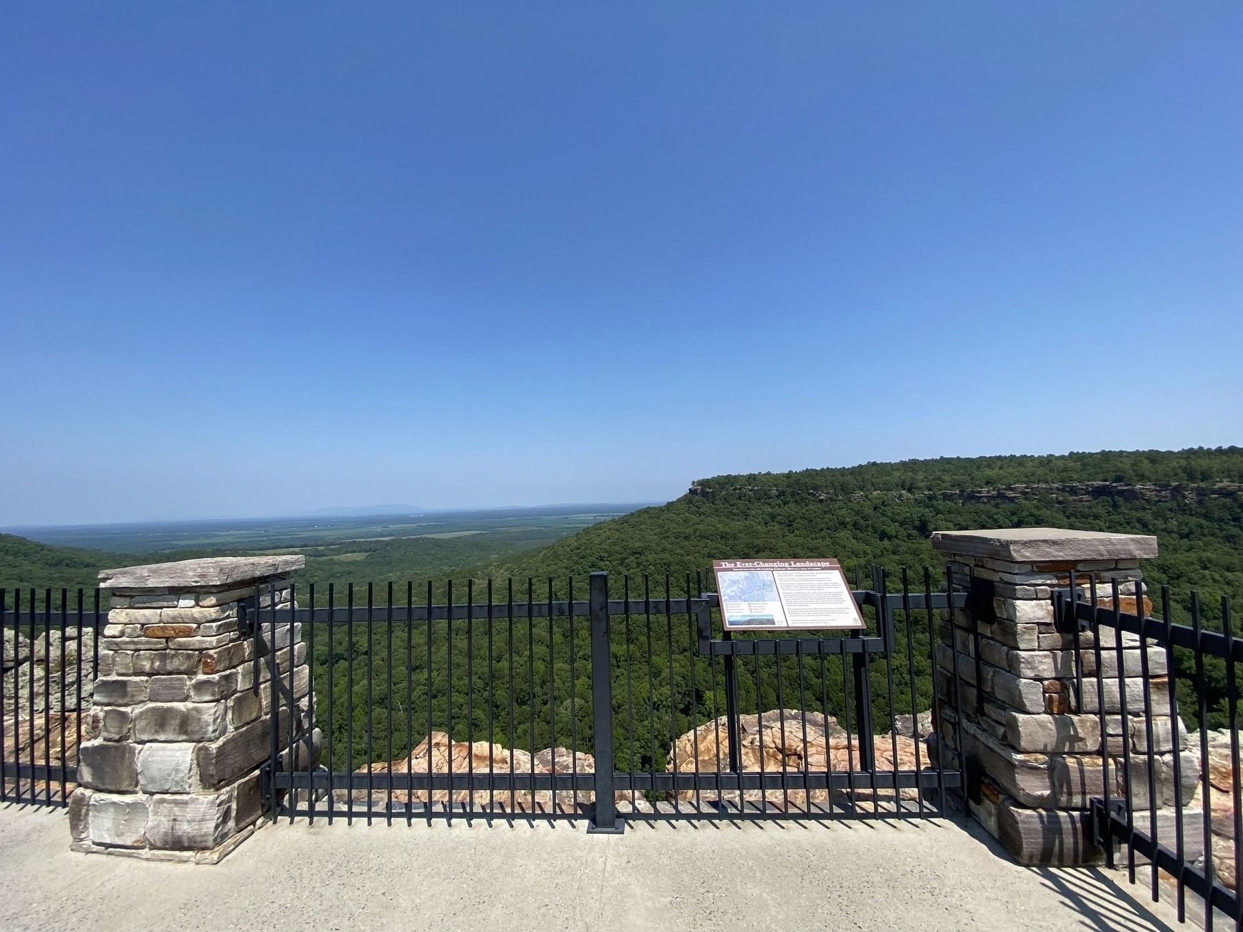
More about this marker. The marker is located at the Palisades Overlook on Petit Jean State Park.
Credits. This page was last revised on October 5, 2023. It was originally submitted on September 29, 2023, by Darren Jefferson Clay of Duluth, Georgia. This page has been viewed 44 times since then and 9 times this year. Photos: 1, 2. submitted on October 3, 2023, by Darren Jefferson Clay of Duluth, Georgia. • Andrew Ruppenstein was the editor who published this page.

