Grimsby in Niagara Region, Ontario — Central Canada (North America)
First Town Meeting
-1790-
First Town Meeting
-1790-
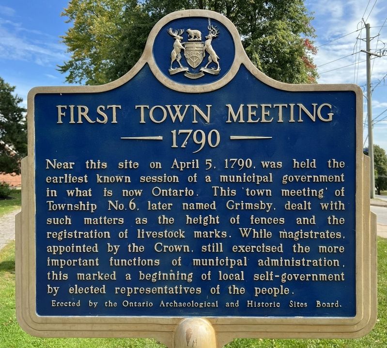
Near this site on April 5. 1790, was held the earliest known session of a municipal government in what is now Ontario. This ‘town meeting' of Township No. 6, later named Grimsby, dealt with such matters as the height of fences and the registration of livestock marks. While magistrates, appointed by the Crown, still exercised the more important functions of municipal administration, this marked a beginning of local self-government by elected representatives of the people.
Erected by Ontario Archaeological and Historic Sites Board.
Topics and series. This historical marker is listed in these topic lists: Colonial Era • Government & Politics • Settlements & Settlers. In addition, it is included in the Canada, Ontario Heritage Foundation series list. A significant historical date for this entry is April 5, 1790.
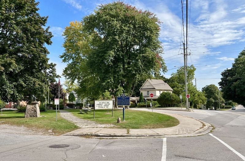
Location. 43° 11.593′ N, 79° 34′ W. Marker is in Grimsby, Ontario, in Niagara Region. Marker is on Main Street West (Regional Road 81) near Murray Street, on the left when traveling east. Touch for map. Marker is in this post office area: Grimsby ON L3M 3N7, Canada. Touch for directions.
Other nearby markers. At least 8 other markers are within 2 kilometers of this marker, measured as the crow flies. Grimsby Town Bell (a few steps from this marker); Colonel Robert Nelles 1761-1842 (within shouting distance of this marker); St. Andrew’s Anglican Church (approx. 0.3 kilometers away); Neutral Indian Burial-Ground (approx. 1.2 kilometers away); Engagement at the Forty Mile Creek (approx. 1.6 kilometers away); The War of 1812 (approx. 1.7 kilometers away); Grimsby 1812 Bicentennial Gazebo (approx. 1.7 kilometers away); Forty Mile Creek (approx. 1.7 kilometers away). Touch for a list and map of all markers in Grimsby.
Also see . . . Exploring Niagara - Grimsby Township.
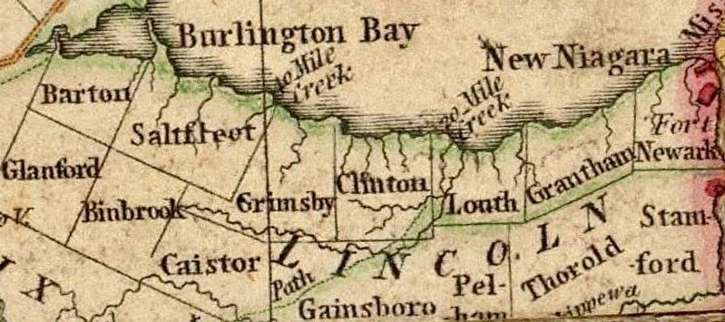
This earliest settlement would become known as The Forty and eventually the name would be changed to Grimsby. Below the escarpment the village of Grimsby would flourish. Farmers would find the soil and climate favourable for the growing of tender fruit.(Submitted on September 30, 2023, by Tim Boyd of Hamilton, Ontario.)
Credits. This page was last revised on September 30, 2023. It was originally submitted on September 30, 2023, by Tim Boyd of Hamilton, Ontario. This page has been viewed 50 times since then and 10 times this year. Photos: 1, 2, 3. submitted on September 30, 2023, by Tim Boyd of Hamilton, Ontario. • Andrew Ruppenstein was the editor who published this page.


