
Bryan in Brazos County, Texas — The American South (West South Central)
Bryan Air Force Base
Photographed by Morgan Petermann, September 29, 2023
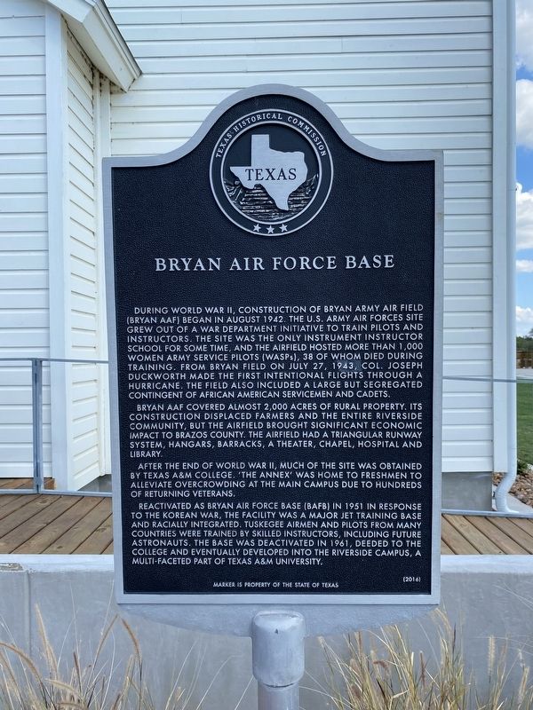
1. Bryan Air Force Base Marker
Bryan AAF covered almost 2,000 acres of rural property. Its construction displaced farmers and the entire Riverside community, but the airfield brought significant economic impact to Brazos County. The airfield had a triangular runway system, hangars, barracks, a theater, chapel, hospital and library.
After the end of World War II, much of the site was obtained by Texas A&M College. ‘The Annex’ was home to freshmen to alleviate overcrowding at the main campus due to hundreds of returning veterans.
Reactivated as Bryan Air Force Base (BAFB)
this page online
Erected 2016 by Texas Historical Commission. (Marker Number 18447.)
Topics. This historical marker is listed in these topic lists: African Americans • Air & Space • War, World II • Women. A significant historical date for this entry is July 27, 1943.
Location. 30° 38.312′ N, 96° 28.192′ W. Marker is in Bryan, Texas, in Brazos County. It is at the intersection of Avenue D and 5th Street, on the left when traveling south on Avenue D. Touch for map. Marker is at or near this postal address: 1555 Ave D, Bryan TX 77807, United States of America. Touch for directions.

Regionally, this marker is in the Prairies & Lakes Region. It is also in the American South. Globally, it is in North America, a Gulf of Mexico state, the Western Hemisphere, the Western World,
Photographed by Morgan Petermann, September 29, 2023
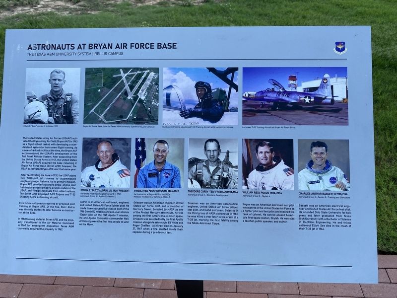
2. Informational marker on South Side of Aldrin Plaza.
Marker describes the history of Bryan AFB and the five future astronauts who received pilot training there: Buzz Aldrin, Gus Grissom, Ted Freeman, William Pogue, and Charles Bassett.
Other nearby markers. At least 8 other markers are within 5 miles of this marker, measured as the crow flies: The Annex (here, next to this marker); Kings Highway Camino Real — Old San Antonio Road (approx. 2.2 miles away); Route of El Camino Real (approx. 2.2 miles away); Leonard School (approx. 3.3 miles away); Brazos River Levee (approx. 4 miles away); San Salvador Mission Church (approx. 4.2 miles away); Kings Highway - Camino Real — Old San Antonio Road (approx. 4½ miles away); Moseley's Ferry (approx. 4½ miles away). Touch for a list and map of all markers in Bryan.
Photographed by Morgan Petermann, September 29, 2023
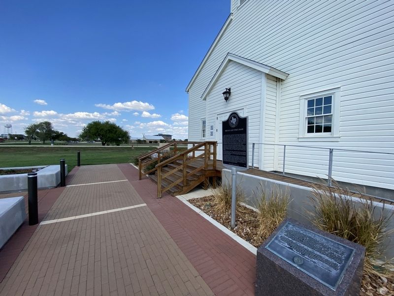
3. Bryan Air Force Base Marker
Marker in front of the RELLIS Chapel on campus.
Photographed by Morgan Petermann, September 29, 2023
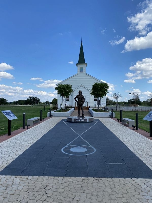
4. Aldrin Plaza on RELLIS Campus
Bryan Air Force Base marker is visible in background.
Photographed by Morgan Petermann, September 29, 2023
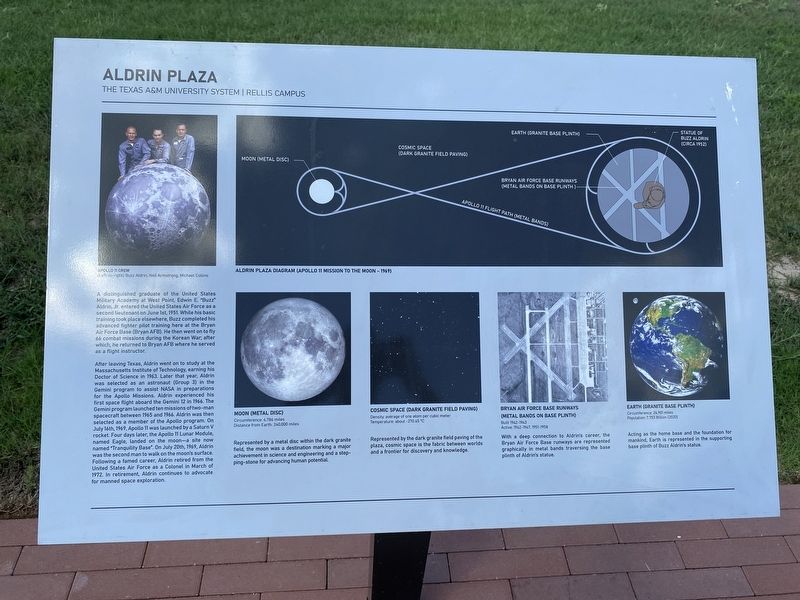
5. Informational marker on North Side of Aldrin Plaza.
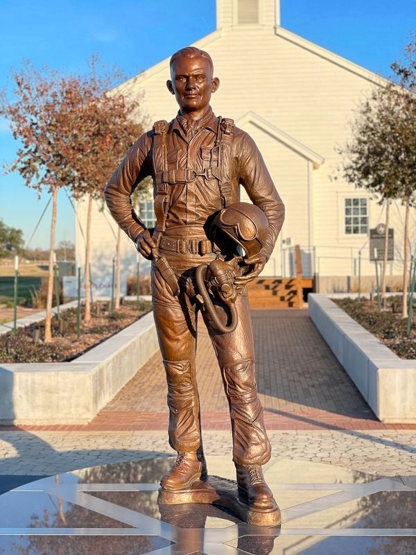
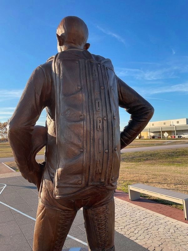
Describes the statue of Buzz Aldrin found in the plaza. Buzz Aldrin completed his advanced fighter pilot training at Bryan AFB.
Photographed by Ronald Claiborne, January 6, 2024
6. Bryan Air Force Base Marker
Photographed by Ronald Claiborne, January 6, 2024
7. Bryan Air Force Base Marker
Credits. This page was last revised on November 29, 2024. It was originally submitted on September 30, 2023, by Morgan Petermann of Hurst, Texas. This page has been viewed 2,330 times since then and 144 times this year. Photos: 1, 2, 3, 4, 5. submitted on September 30, 2023, by Morgan Petermann of Hurst, Texas. 6, 7. submitted on January 7, 2024, by Ronald Claiborne of College Station, Texas. • James Hulse was the editor who published this page.
