
Estherville in Emmet County, Iowa — The American Midwest (Upper Plains)
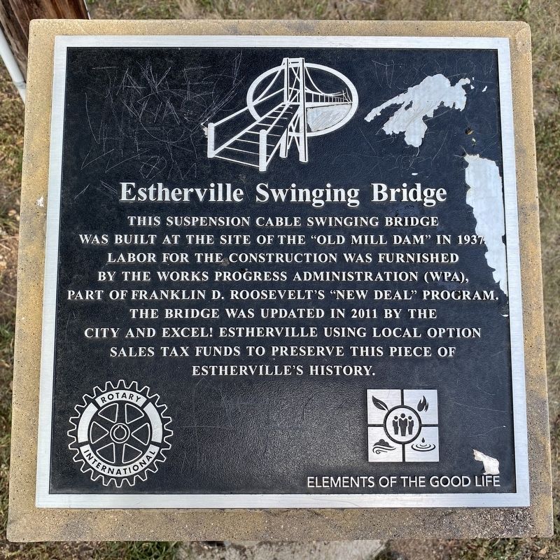
Estherville Swinging Bridge
September 11, 2023
1. Estherville Swinging Bridge Marker
Erected by Rotary International and Excel! Estherville.
Topics and series. This historical marker is listed in these topic lists: Agriculture • Bridges & Viaducts • Charity & Public Work. In addition, it is included in the Rotary International series list. A significant historical year for this entry is 1937.
Location. 43° 24.231′ N, 94° 50.627′ W. Marker is in Estherville, Iowa, in Emmet County. It can be reached from West North 1st Street south of West 2nd Avenue North, on the right when traveling north. Located on the east side of the bridge. Touch for map. Marker is in this post office area: Estherville IA 51334, United States of America. Touch for directions.

Regionally, this marker is in North Iowa and specifically in Iowa Great
this page online
Other nearby markers. At least 7 other markers are within 13 miles of this marker, measured as the crow flies: A different marker also named Estherville Swinging Bridge (within shouting distance of this marker); Fort Defiance (approx. 0.4 miles away); First Bell Used by the Estherville Fire Department (approx. 0.4 miles away); Emmet County Veterans Memorial (approx. 0.4 miles away); The Estherville Meteorite (approx. 2.7 miles away); State Line Congregation (approx. 7.2 miles away); De Soto (approx. 12.7 miles away in Minnesota).
September 11, 2023
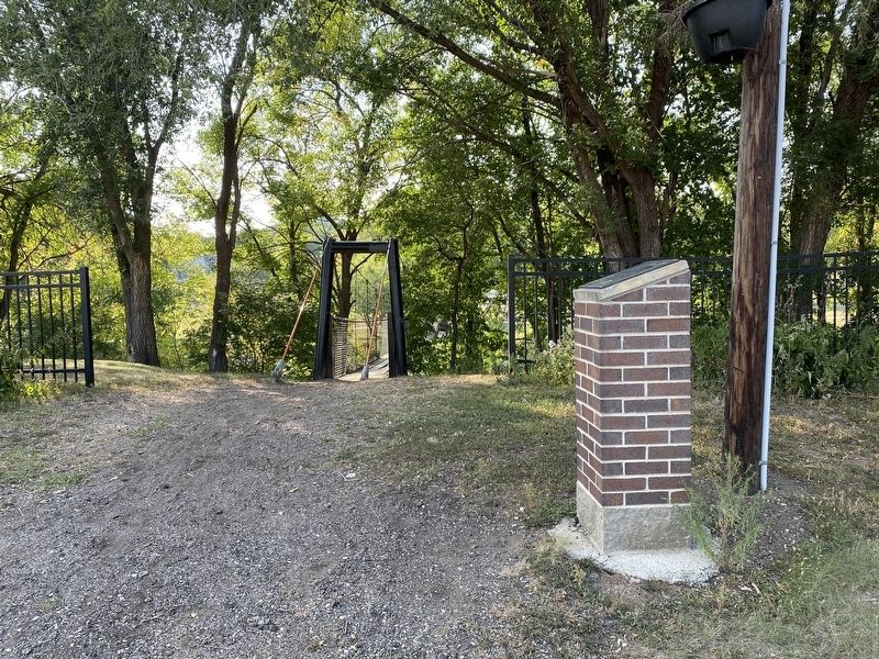
2. Estherville Swinging Bridge & Marker

September 11, 2023
3. Estherville Swinging Bridge
September 11, 2023
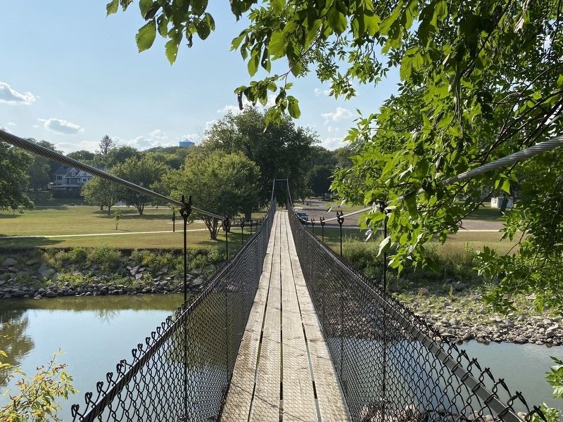
4. Estherville Swinging Bridge, from the east

September 11, 2023
5. View of the Des Moines River north from the Estherville Swinging Bridge
Credits. This page was last revised on October 3, 2023. It was originally submitted on October 2, 2023. This page has been viewed 570 times since then and 37 times this year. Photos: 1, 2, 3, 4, 5. submitted on October 2, 2023.
