Minnieville in Prince William County, Virginia — The American South (Mid-Atlantic)
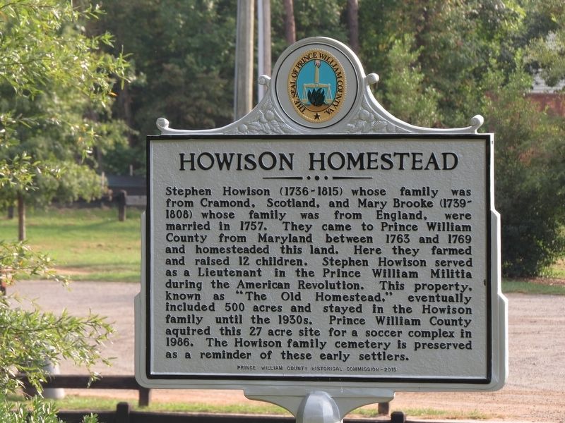
Howison Homestead
Erected 2015 by Prince William County Historical Commission.
Topics. This historical marker is listed in these topic lists: Cemeteries & Burial Sites • Colonial Era • Settlements & Settlers • War, US Revolutionary. A significant historical year for this entry is 1757.
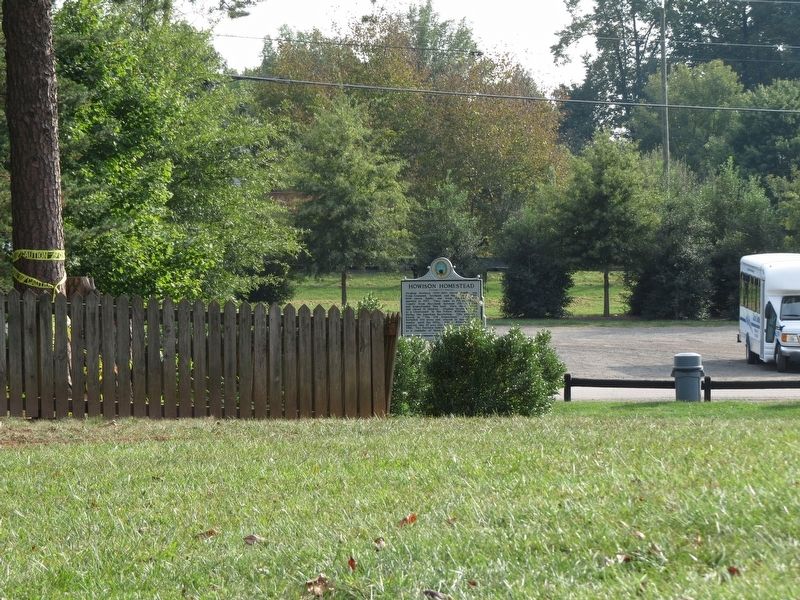
Location. 38° 37.987′ N, 77° 22.925′ W. Marker is in Minnieville, Virginia, in Prince William County. Marker is on Harvest Moon Lane, 0.1 miles north of Minnieville Road, on the left when traveling east. Marker is on the west side of the Howison family cemetery in the Howison Homestead Park Soccer Complex. Touch for map. Marker is at or near this postal address: 14716 Minnieville Road, Woodbridge VA 22193, United States of America. Touch for directions.
Other nearby markers. At least 8 other markers are within 2 miles of this marker, measured as the crow flies. A different marker also named Howison Homestead (a few steps from this marker); “Let There Be Lights” (within shouting distance of this marker); Maddox Cemetery (approx. 0.9 miles away); Bel Air Plantation (approx. one mile away); Minnieville (approx. 1.6 miles away); Carey M. Perkinson (approx. 1.9 miles away); Greenwood Presbyterian Church and Cemetery (approx. 1.9 miles away); Montclair Veterans Flagpole (approx. 2 miles away). Touch for a list and map of all markers in Minnieville.
Credits. This page was last revised on December 2, 2023. It was originally submitted on September 25, 2017, by Samuel Paik of Gainesville, Virginia. This page has been viewed 788 times since then and 75 times this year. Last updated on October 3, 2023, by N. Jozsa of Woodbridge, Virginia. Photos: 1, 2. submitted on September 25, 2017, by Samuel Paik of Gainesville, Virginia. • Bernard Fisher was the editor who published this page.

