Joplin in Prince William County, Virginia — The American South (Mid-Atlantic)
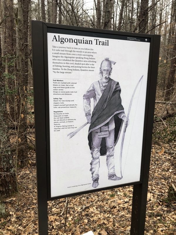
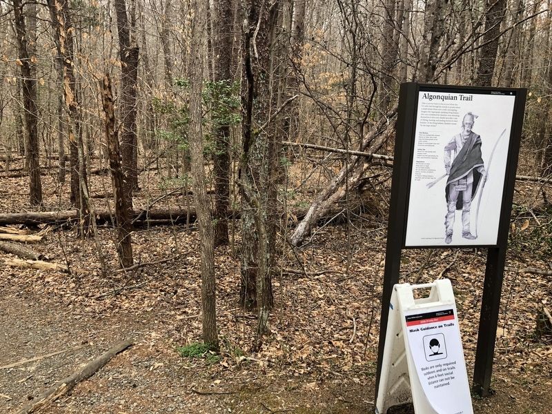
Algonquian Trail
— National Park Service, U.S. Department of the Interior —
Erected by National Park Service, U.S. Department of the Interior.
Topics. This historical marker is listed in these topic lists: Anthropology & Archaeology • Native Americans.
Location. 38° 34.479′ N, 77° 22.625′ W. Marker is in Joplin, Virginia, in Prince William County. Marker is on Scenic Drive, 0.1 miles east of Liming Lane, on the right when traveling east. Touch for map. Marker is in this post office area: Triangle VA 22172, United States of America. Touch for directions.
Other nearby markers. At least 8 other markers are within 2 miles of this marker, measured as the crow flies. Pyrite Mine Road (approx. ¾ mile away); Mary Bird Branch Trail (approx. one mile away); Pyrite Mine (approx. 1.3 miles away); Reclaiming the Land (approx. 1.6 miles away); Old Cabin Branch / Clarkson School (approx. 1.7 miles away); Little Union Baptist Church (approx. 1.7 miles away); a different marker also named Little Union Baptist Church (approx. 1.7 miles away); Old Black Top Road (approx. 1.7 miles away).
Additional keywords. hunter-gatherers
Credits. This page was last revised on October 23, 2023. It was originally submitted on March 12, 2021, by Devry Becker Jones of Washington, District of Columbia. This page has been viewed 188 times since then and 25 times this year. Last updated on October 3, 2023, by N. Jozsa of Woodbridge, Virginia. Photos: 1, 2. submitted on March 12, 2021, by Devry Becker Jones of Washington, District of Columbia.

