Afton in Nelson County, Virginia — The American South (Mid-Atlantic)
Blue Ridge Tunnel
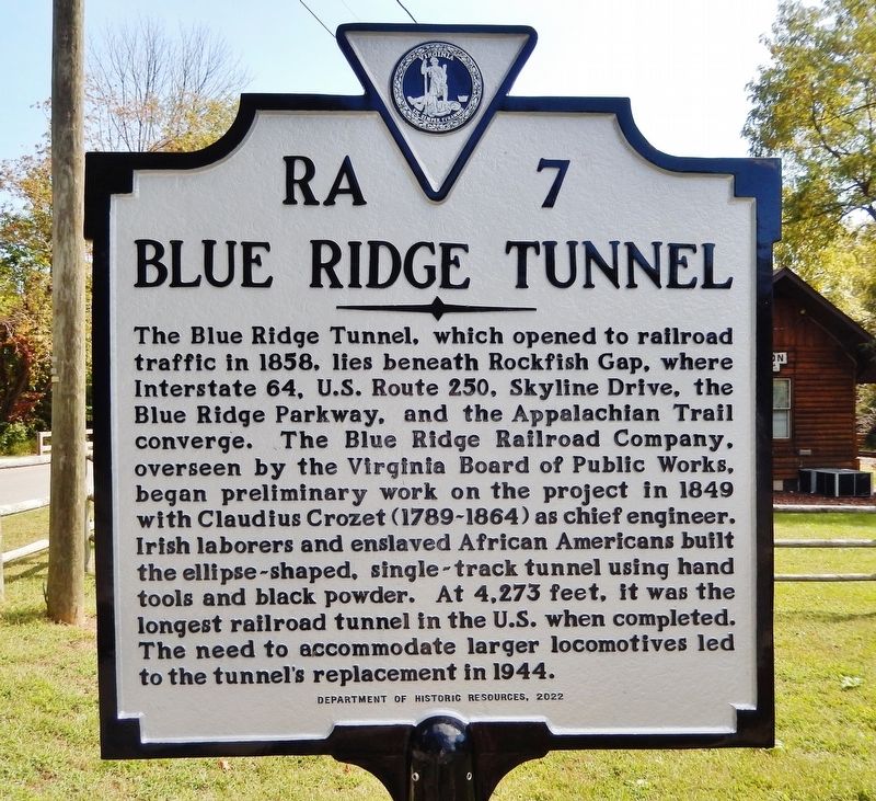
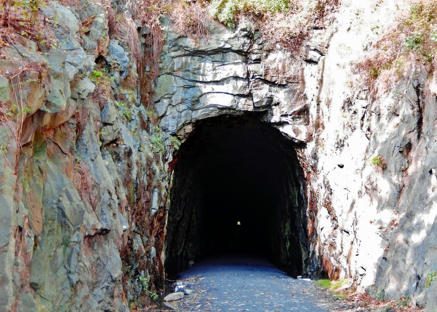
The Blue Ridge Tunnel, which opened to railroad traffic in 1858, lies beneath Rockfish Gap, where Interstate 64, U.S. Route 250, Skyline Drive, the Blue Ridge Parkway, and the Appalachian Trail converge. The Blue Ridge Railroad Company, overseen by the Virginia Board of Public Works, began preliminary work on the project in 1849 with Claudius Crozet (1789-1864) as chief engineer. Irish laborers and enslaved African Americans built the ellipse-shaped, single-track tunnel using hand tools and black powder. At 4,273 feet, it was the longest railroad tunnel in the U.S. when completed. The need to accommodate larger locomotives led to the tunnel’s replacement in 1944.
Erected 2022 by Department of Historic Resources. (Marker Number RA-7.)
Topics and series. This historical marker is listed in these topic lists: African Americans • Parks & Recreational Areas • Railroads & Streetcars • Roads & Vehicles. In addition, it is included in the National Register of Historic Places, and the Virginia Department of Historic Resources (DHR) series lists. A significant historical year for this entry is 1858.
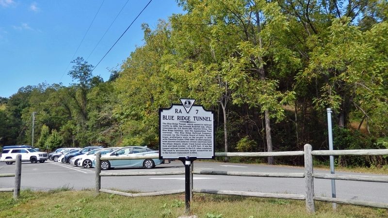
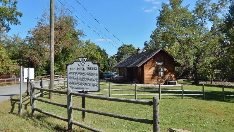
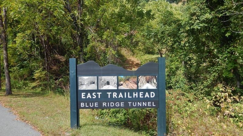
Location. 38° 1.999′ N, 78° 50.506′ W. Marker is in Afton, Virginia, in Nelson County. Marker is on Afton Depot Lane, 0.2 miles west of Afton Mountain Road (Virginia Route 6), on the left when traveling west. The marker is located at the Blue Ridge Tunnel Trail East Trailhead entrance. Touch for map. Marker is at or near this postal address: 215 Afton Depot Lane, Afton VA 22920, United States of America. Touch for directions.
Other nearby markers. At least 8 other markers are within walking distance of this marker. East Trailhead (within shouting distance of this marker); Virginia's Nineteenth-Century Transportation Challenges (about 600 feet away, measured in a direct line); Claudius Crozet (approx. ¼ mile away); The Blue Ridge Railroad (approx. 0.4 miles away); The Laborers (approx. half a mile away); Greenwood-Afton Rural Historic District (approx. 0.6 miles away); Flight of Richard C. duPont (approx. 0.6 miles away); Rockfish Gap Meeting (approx. 0.6 miles away). Touch for a list and map of all markers in Afton.
Regarding Blue Ridge Tunnel. National Register of Historic Places #100008324.
From the National Register Nomination:
The Blue Ridge Tunnel was one of four single-track tunnels and the longest of the four that were constructed as part of the Blue Ridge Railroad (BRR). This railroad was the first to connect the Piedmont and Shenandoah Valley by rail. The tunnel was constructed from greenstone, an excessively hard metamorphic rock. The rock was so hard that most of the interior of the tunnel remains unlined. The tunnel bore measures 16 x 21 ft. and is elliptical-shaped because it would, according to Crozet, prevent excessive blasting and cave-ins. It is 4,279 ft. in length with a 69.2 ft. downward eastern slope. Ventilation shafts were not created due to the depth of the tunnel below the gap. The tunnel was regularly used between 1858 until 1944. Today, it is the centerpiece of a 2.25 mi. recreational hiking and biking trail. The replacement tunnel remains in use and is located at a lower elevation and is approximately 180 ft. to the south of the eastern portal and the tunnel runs parallel to the original tunnel.
Also see . . .
1. Blue Ridge Tunnel. Excerpt:
Located in the Greenwood-Afton Rural Historic District, the Blue Ridge Tunnel is a single-track railroad tunnel constructed between 1850 and 1857 that was opened for use in 1858. The tunnel is located 500 feet below the Rockfish Gap and straddles the county line between Nelson and Augusta counties. Carved from greenstone, the tunnel was designed and its construction was overseen by engineer Claudius Crozet. Crozet, the best known Chief Engineer of Virginia, contributed to the formation of the curriculum at the United States Military Academy and the creation of the Virginia Military Institute. The tunnel was constructed by a labor force of primarily Irish immigrant labor, supplemented for a short time with hired-out enslaved African Americans. The Blue Ridge Tunnel remains the longest tunnel that was hand-dug using black powder blasting, and dug without the use of ventilation shafts. In 1944, it was replaced with a larger tunnel that runs parallel to the original.(Submitted on October 4, 2023, by Cosmos Mariner of Cape Canaveral, Florida.)
2. State Historical Marker for Blue Ridge Tunnel to Be Dedicated in Afton, Va. Excerpt:
The American Society of Civil Engineers recognized the Blue Ridge Tunnel, also commonly known as the Crozet Tunnel, as a National Historic Civil Engineering Landmark in 1976. In September 2022, the tunnel was listed in the Virginia Landmarks Register, and in April 2023 it was listed in the National Register of Historic Places. The marker for the Blue Ridge Tunnel was approved for manufacture and installation in 2022 by the Virginia Board of Historic Resources. The marker’s manufacturing costs were covered by its sponsor, the Crozet Tunnel Foundation.(Submitted on October 4, 2023, by Cosmos Mariner of Cape Canaveral, Florida.)
3. National Register of Historic Places Nomination (pdf). (Submitted on October 4, 2023, by Cosmos Mariner of Cape Canaveral, Florida.)
October 4, 2023
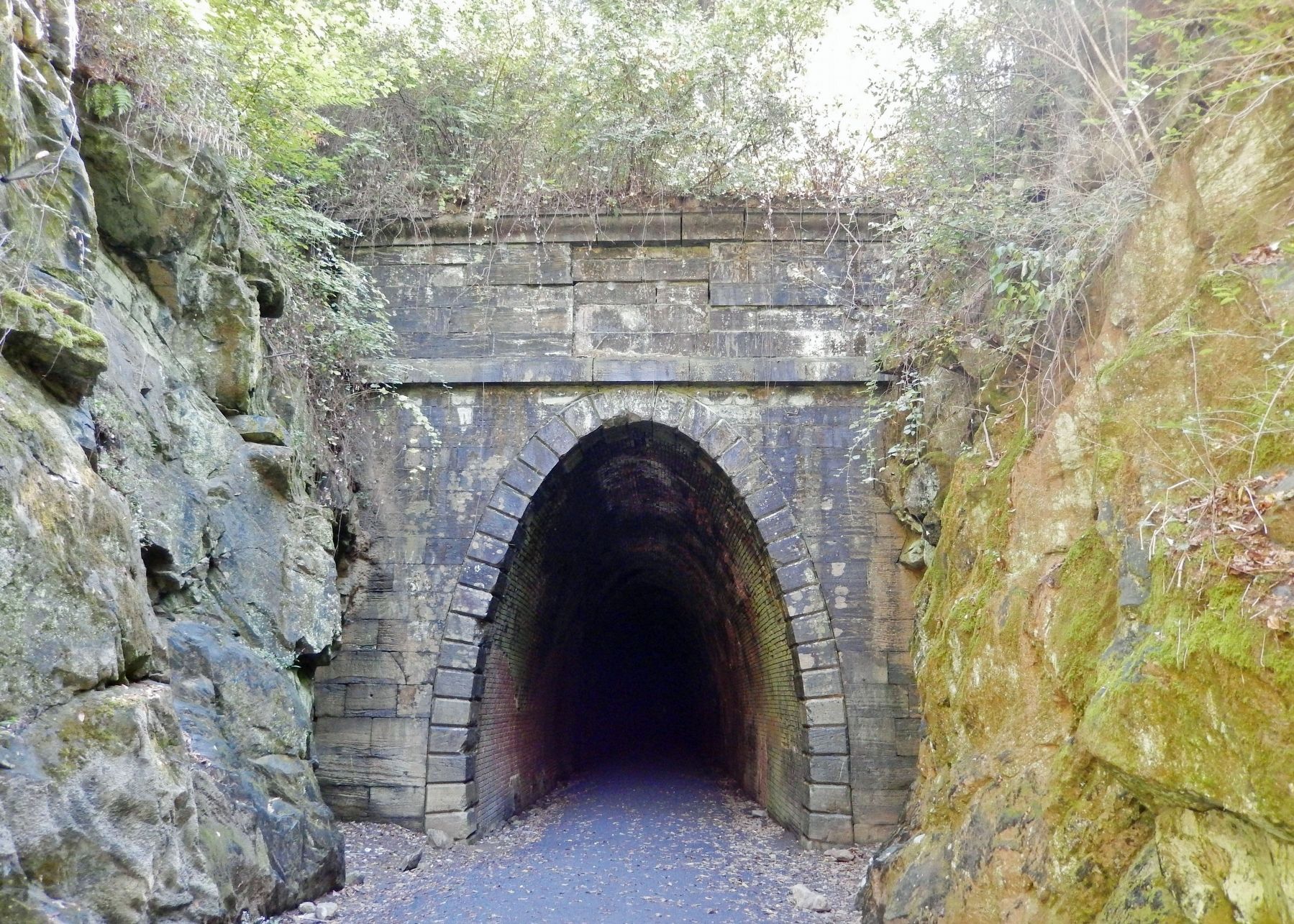
6. Blue Ridge Tunnel • West Portal
From the National Register of Historic Places Nomination:
The western end of the tunnel is arched with brick continuously for about 1,460 ft. into the tunnel, and the elliptical shape of the tunnel is easily observed. It is finished with dressed limestone. The portal has a lancet arch with quoins. The portal facing is toothed into the brick lining of the interior of the tunnel. Crozet used limestone instead of sandstone because it was cheaper and locally obtained.
Credits. This page was last revised on October 7, 2023. It was originally submitted on October 4, 2023, by Cosmos Mariner of Cape Canaveral, Florida. This page has been viewed 90 times since then and 22 times this year. Photos: 1, 2, 3, 4, 5, 6. submitted on October 4, 2023, by Cosmos Mariner of Cape Canaveral, Florida.
