Near Walkertown in Forsyth County, North Carolina — The American South (South Atlantic)
Y Camps of Salem Chapel Township
Inscription.
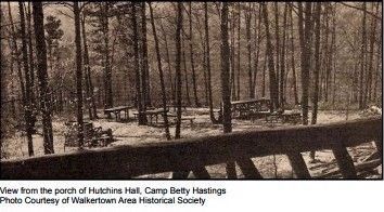
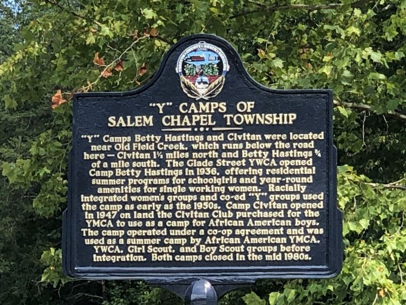
Y Camps Betty Hastings and Civitan were located near Old Field Creek, which runs below the road here Civitan 1½ miles north and Betty Hastings Ύ of a mile south. The Glade Street YWCA opened Camp Betty Hastings in 1936, offering residential summer programs for schoolgirls and year-round amenities for single working women. Racially integrated women's groups and co-ed Y groups used the camp as early as the 1950s. Camp Civitan opened in 1947 on land the Civitan Club purchased for the YMCA to use as a camp for African American boys. The camp operated under a co-op agreement and was used as a summer camp by African American YMCA, YWCA, Girl Scout, and Boy Scout groups before integration. Both camps closed in the mid 1980s.
Erected by Forsyth County, NC.
Topics. This historical marker is listed in these topic lists: African Americans • Parks & Recreational Areas • Women. A significant historical year for this entry is 1936.
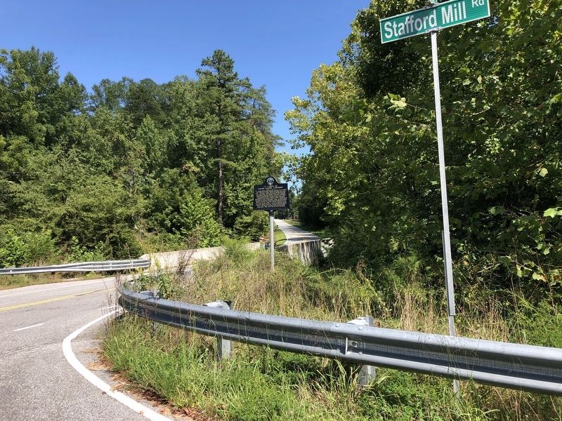
Location. 36° 13.156′ N, 80° 10.996′ W. Marker is near Walkertown, North Carolina, in Forsyth County. Marker is at the intersection of Lake Woussicket Road and Stafford Mill Road, on the right when traveling east on Lake Woussicket Road. Touch for map. Marker is in this post office area: Walnut Cove NC 27052, United States of America. Touch for directions.
Other nearby markers. At least 8 other markers are within 7 miles of this marker, measured as the crow flies. Memorial Industrial School (approx. 2.6 miles away); 1792 Road Between Bethabara and Germanton (approx. 3.2 miles away); Benjamin Forsyth (approx. 4 miles away); Joseph Winston (approx. 4.7 miles away); Ogburn Station (approx. 5.4 miles away); Great Wagon Road (approx. 5.9 miles away); Carver High School (approx. 6 miles away); Nazareth Church (approx. 6.7 miles away).

Photographed By Larry Gertner, October 9, 2023
2. Y Camps of Salem Chapel Township
Forsyth County Historic Resources Commission PDF
Click for more information.
Click for more information.
Credits. This page was last revised on October 9, 2023. It was originally submitted on October 5, 2023, by Duane and Tracy Marsteller of Murfreesboro, Tennessee. This page has been viewed 64 times since then and 18 times this year. Photos: 1. submitted on October 5, 2023, by Duane and Tracy Marsteller of Murfreesboro, Tennessee. 2. submitted on October 9, 2023, by Larry Gertner of New York, New York. 3. submitted on October 5, 2023, by Duane and Tracy Marsteller of Murfreesboro, Tennessee.

