Wild River State Park near Almelund in Chisago County, Minnesota — The American Midwest (Upper Plains)
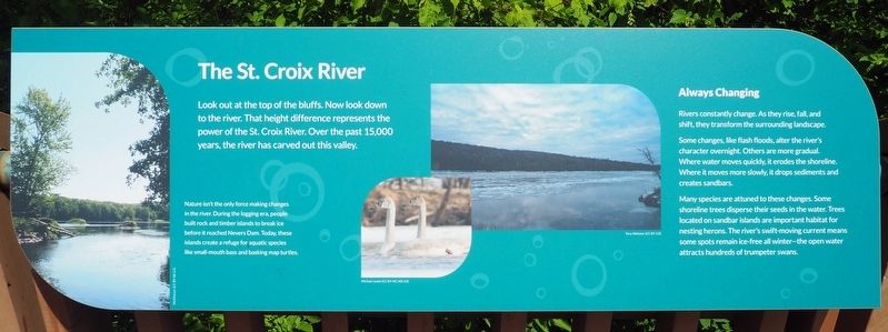
The St. Croix River
Look out at the top of the bluffs. Now look down to the river. That height difference represents the power of the St. Croix River. Over the past 15,000 years, the river has carved out this valley.
Nature isn't the only force making changes in the river. During the logging era, people built rock and timber islands to break ice before it reached Nevers Dam. Today, these islands create a refuge for aquatic species like small-mouth bass and basking map turtles.
Always Changing
Rivers constantly change. As they rise, fall, and shift, they transform the surrounding landscape.
Some changes, like flash floods, alter the river's character overnight. Others are more gradual. Where water moves quickly, it erodes the shoreline. Where it moves more slowly, it drops sediments and creates sandbars.
Many species are attuned to these changes. Some shoreline trees disperse their seeds in the water. Trees located on sandbar islands are important habitat for nesting herons. The river's swift-moving current means some spots remain ice-free all winter—the open water attracts hundreds of trumpeter swans.
Erected by Minnesota Department of Natural Resources.
Topics. This historical marker is listed in these topic lists: Environment • Waterways & Vessels.
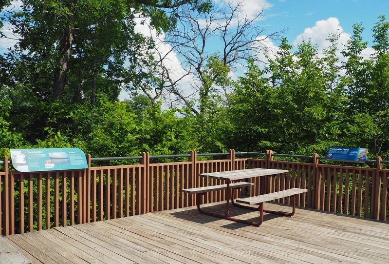
Location. 45° 31.118′ N, 92° 44.052′ W. Marker is near Almelund, Minnesota, in Chisago County. It is in Wild River State Park. The marker is on the rear deck of the Wild River State Park Visitor Center. Touch for map. Marker is at or near this postal address: 39797 Park Trail, Taylors Falls MN 55084, United States of America. Touch for directions.
Other nearby markers. At least 8 other markers are within walking distance of this marker. A Conservation Legacy (here, next to this marker); Restored Prairies (a few steps from this marker); Conifer Forests (a few steps from this marker); Military Road (about 300 feet away, measured in a direct line); Looking For A Better Life (about 400 feet away); Wild River State Park (about 400 feet away); Who Was Here First? (approx. 0.4 miles away); What Was It Like (approx. ¾ mile away). Touch for a list and map of all markers in Almelund.
Credits. This page was last revised on October 9, 2023. It was originally submitted on October 6, 2023, by McGhiever of Minneapolis, Minnesota. This page has been viewed 49 times since then and 6 times this year. Photos: 1, 2. submitted on October 6, 2023, by McGhiever of Minneapolis, Minnesota. • J. Makali Bruton was the editor who published this page.

