Near Spanish Lake in St. Louis County, Missouri — The American Midwest (Upper Plains)
Coldwater Creek
The Mill
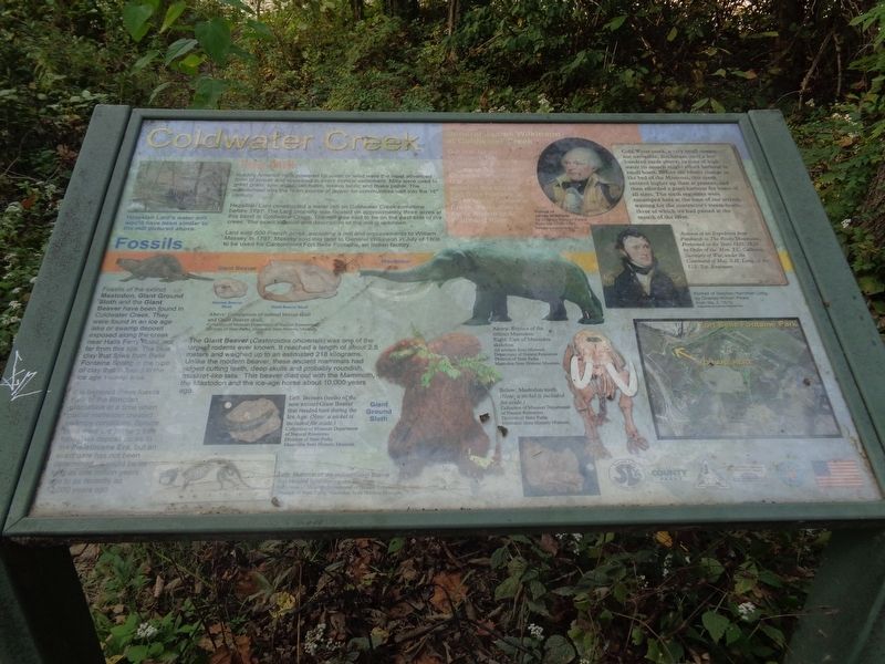
In early America mills powered by water or wind were the most advanced form of power and appeared in every frontier settlement. Mills were used to grind grain, saw wood, tan hides, weave fabric and make paper. The waterwheel was the main source of power for communities well into the 18th century.
Hezekiah Lard constructed a water mill on Coldwater Creek sometime before 1797. The Lard property was located on approximately three acres at this bend in Coldwater Creek. The mill was said to be on the east side of the creek. The exact location and description of the mill is unknown.
Lard sold 500 French acres…excluding a mill and improvements to William Massey in 1797. Massey sold this land to General Wilkinson in July of 1806 to be used for Cantonment Fort Belle Fontaine, an Indian factory.
General James Wilkinson at Coldwater Creek
General James Wilkinson, first Governor of the Louisiana Territory and Commander at Chief, U.S. Army, St. Louis, selected this site for Fort Belle Fontaine at the mouth of Coldwater Creek, then called La Petite Riviere or St. Ferdinand River.
Fossils
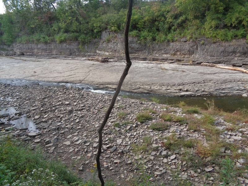
Fossils of the extinct Mastodon, Giant Ground Sloth and the Giant Beaver have been found in Coldwater Creek. They were found in an ice age lake or swamp deposit exposed along the creek near Halls Ferry Road, not far from this site. The blue clay that flows from Belle Fontaine Spring is the type of clay that is found in the ice age swamp area.
It is believed these fossils date to the Illinoian glaciation at a time when glacial meltwater created swampy conditions. Spruce trees were the primary tree type. This deposil dates to the Pleistocene Era, but an exact date has not been determined. It could be as long as one million years ago to as recently as 12,000 years ago.
The Giant Beaver (Castoroides ohioensis) was one of the largest rodents ever known. It reached a length of about 2.5 meters and weighed up to an estimated 218 kilograms. Unlike the modern beaver, these ancient mammals had ridged cutting teeth, deep skulls and probably roundish, muskrat-like tails. This beaver died out with the Mammoth, the Mastodon and the ice-age horse about 10,000 years ago.
(side quote:)
Cold Water creek, a very small stream not navigable, discharges itself a few hundred yards above; in time of high water its mouth might afford harbour to small boats. Before the recent change in the bed of the Missouri, this creek entered higher up than at present, and then afforded a good harbour for boats of all sizes. The sixth regiment were encamped here at the time
of our arrival, waiting for the contractor's steam-boats, three of which we had passed at the mouth of the river.
Account of an Expedition from Pittsburgh to The Rocky Mountains, Performed in the Years 1819, 1820 by Order of the Hon. J.C. Calhoun, Secretary of War, under the Command of Maj. S.H. Long, of the U.S. Top. Engineers
Erected by Fort Belle Fontaine Historical Society, Missouri Conservation Department, Saint Louis County Parks and Spanish Lake Community Association.
Topics. This historical marker is listed in these topic lists: Anthropology & Archaeology • Industry & Commerce • Paleontology • Waterways & Vessels. A significant historical month for this entry is July 1806.
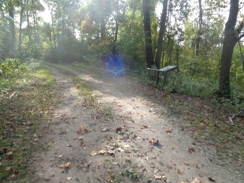
Location. 38° 49.698′ N, 90° 13.668′ W. Marker is near Spanish Lake, Missouri, in St. Louis County. Marker can be reached from Bellefontaine Road. Marker is located off a nature trail on the grounds of Fort Belle Fontaine County Park. Touch for map. Marker is at or near this postal address: 13002 Bellefontaine Road, Saint Louis MO 63138, United States of America. Touch for directions.
Other nearby markers. At least 8 other markers are within 3 miles of this marker, measured as the crow flies. Fort Belle Fontaine (approx. half a mile away); Welcome to Fort Belle Fontaine (approx. 0.6 miles away); Belle Fontaine - Beautiful Fountain (approx. 0.7 miles away); The Lewis and Clark Expedition
(approx. ¾ mile away); a different marker also named Fort Belle Fontaine (approx. ¾ mile away); a different marker also named Fort Belle Fontaine (approx. ¾ mile away); Spanish Lake (approx. 2.3 miles away); Columbia Bottom Conservation Area (approx. 2.7 miles away). Touch for a list and map of all markers in Spanish Lake.
Regarding Coldwater Creek. Please note that the marker is accessed only from 8am to the park's closure (30 minutes after sunset). Visitors may be asked to check in with the guards at the park's entrance.
Credits. This page was last revised on October 11, 2023. It was originally submitted on October 11, 2023, by Jason Voigt of Glen Carbon, Illinois. This page has been viewed 71 times since then and 21 times this year. Photos: 1, 2, 3. submitted on October 11, 2023, by Jason Voigt of Glen Carbon, Illinois.


