Honey Grove in Fannin County, Texas — The American South (West South Central)
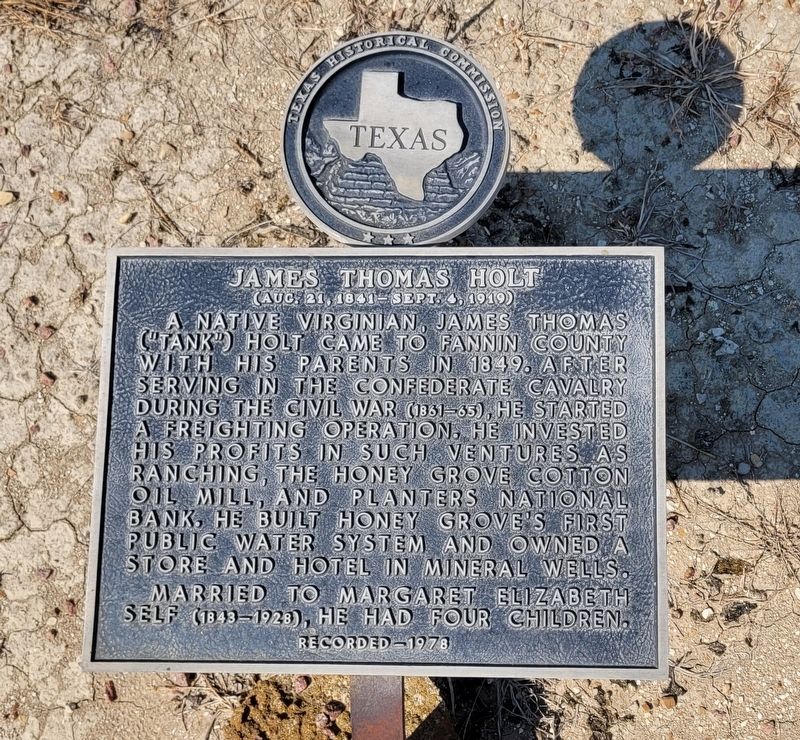
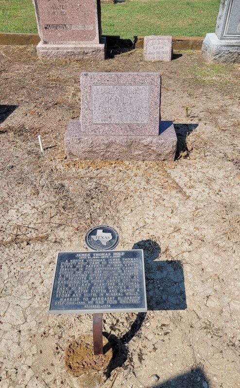
James Thomas Holt
(Aug 21, 1841 - Sept. 4, 1919)
Erected 1978 by Texas Historical Commission. (Marker Number 8898.)
Topics. This historical marker is listed in these topic lists: Cemeteries & Burial Sites • Industry & Commerce • War, US Civil. A significant historical year for this entry is 1849.
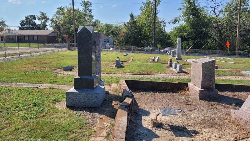
Location. 33° 35.399′ N, 95° 54.532′ W. Marker is in Honey Grove, Texas, in Fannin County. Marker is at the intersection of 5th Street and Oak Street on 5th Street. Touch for map. Marker is in this post office area: Honey Grove TX 75446, United States of America. Touch for directions.
Other nearby markers. At least 8 other markers are within walking distance of this marker. James G. Gilmer (about 400 feet away, measured in a direct line); Benjamin Stuart Walcott (about 400 feet away); Samuel Augustus Erwin (about 500 feet away); Oakwood Cemetery (about 700 feet away); Site of Oakwood Chapel (about 700 feet away); Erwin Evans Smith (approx. ¼ mile away); Dial Home (approx. ¼ mile away); McKenzie Methodist Church (approx. 0.3 miles away). Touch for a list and map of all markers in Honey Grove.
Also see . . . Honey Grove, TX. Texas State Historical Association (TSHA) (Submitted on October 11, 2023, by James Hulse of Medina, Texas.)
Credits. This page was last revised on October 12, 2023. It was originally submitted on October 11, 2023, by James Hulse of Medina, Texas. This page has been viewed 59 times since then and 14 times this year. Photos: 1, 2, 3. submitted on October 12, 2023, by James Hulse of Medina, Texas.


