Tully in Onondaga County, New York — The American Northeast (Mid-Atlantic)
The Onondaga Country
Historic New York
Photographed by Mira Earls, October 13, 2023
1. Historic New York Marker
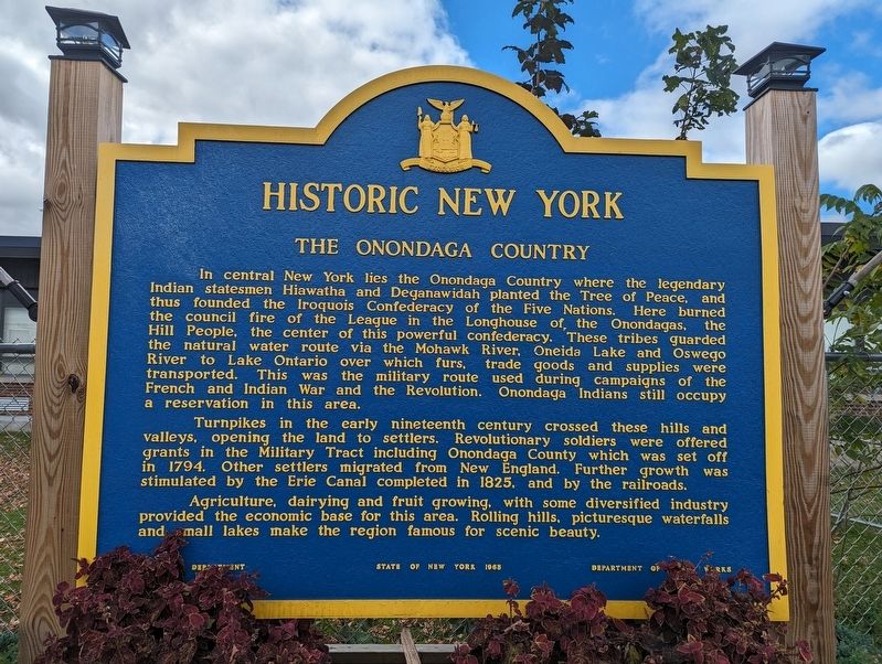
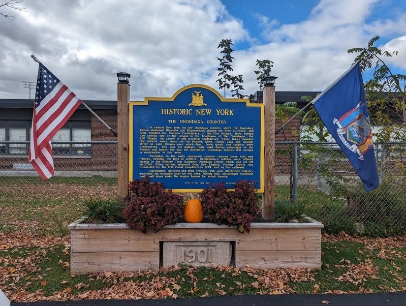
In central New York lies the Onondaga Country where the legendary Indian statesmen Hiawatha and Deganawidah planted The Tree of Peace, and this founded the Iroquois Confederacy of the Five Nations. Here burned the council fire of the League of the Longhouse of the Onondagas, the Hill People, the center of this powerful confederacy. These tribes guarded the natural water route via the Mohawk River, Oneida Lake and Oswego River to Lake Ontario over which furs, trade goods and supplies were transported. This was the military route used during the French and Indian War and the Revolution. Onondaga Indians still occupy a reservation in this area.
Turnpikes in the early nineteenth century crossed these hills and valleys, opening the land to settlers. Revolutionary soldiers were offered grants in the Military Tract including Onondaga County which was set off in 1794. Other settlers migrated from New England. Further growth was stimulated by the Erie Canal completed in 1825, and by the railroads. Agriculture, dairying and fruit growing, with some diversified industry provided the economic base for this area. Rolling hills,
this page online
Erected 1963 by Department of Public Works.
Topics. This historical marker is listed in these topic lists: Indigenous Peoples and Communities • Peace • Settlements & Settlers. A significant historical year for this entry is 1794.
Location. 42° 47.766′ N, 76° 6.645′ W. Marker is in Tully, New York, in Onondaga County. It is at the intersection of State Street (U.S. 11) and Ononsaga Street, on the right when traveling south on State Street. Touch for map. Marker is at or near this postal address: 22-24 State Street, Tully NY 13159, United States of America. Touch for directions.

Regionally, this marker is in Upstate New York, specifically in Central New York, and in the Syracuse Metropolitan Area. It is also in the American Northeast and in the Mid-Atlantic. Globally, it is in North America, on the Great Lakes, in the Western Hemisphere, in the Western World, and in the Anglosphere. Historically, it finds itself in what was once the Haudenosaunee (Iroquois) Confederacy, New Netherland, and one of the original Thirteen Colonies.
Photographed by Mira Earls, October 13, 2023
2. Historic New York Marker
Other nearby markers. At least 8 other markers are within 5 miles of this marker, measured as the crow flies: Early 1800 (approx. one mile away); First Church (approx. 3.4 miles away); Baltimore (approx. 4.3 miles away); First School (approx. 4.4 miles away); “Lest We Forget” (approx. 4.6 miles away); Preble Roll Of Honor (approx. 4.6 miles away); Presbyterian Church (approx. 4.6 miles away); William Van Denburg (approx. 4.6 miles away).
More about this marker. Located at the rear of the parking lot between the Tully Free Historical Society and the Country Peddler building.
Credits. This page was last revised on October 20, 2023. It was originally submitted on October 13, 2023, by Mira Earls of Cortland, New York. This page has been viewed 280 times since then and 31 times this year. Photos: 1, 2. submitted on October 13, 2023, by Mira Earls of Cortland, New York. • Michael Herrick was the editor who published this page.
