Marion in Crittenden County, Arkansas — The American South (West South Central)
Father Jacques Marquette and Louis Joliet's French expedition arrived in Arkansas
Inscription.
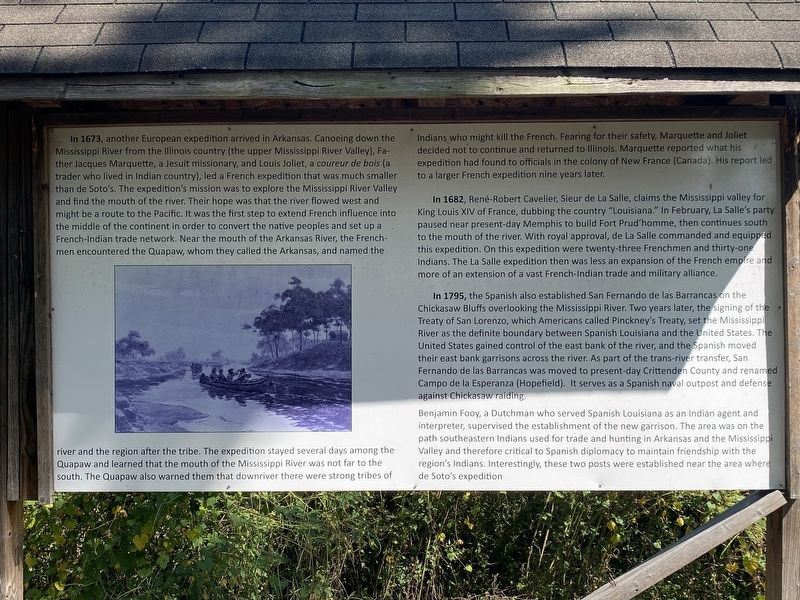
In 1673, another European expedition arrived in Arkansas. Canoeing down the Mississippi River from the Illinois country (the upper Mississippi River Valley), Father Jacques Marquette, Jesuit missionary, and Louis Joliet, a coureur de bois (a trader who lived in Indian country), led a French expedition that was much smaller than de Soto's. The expedition's mission was to explore the Mississippi River Valley and find the mouth of the river. Their hope was that the river flowed west and might be a route to the Pacific. It was the first step to extend French influence into the middle of the continent in order to convert the native peoples and set up a French-Indian trade network. Near the mouth of the Arkansas River, the French men encountered the Quapaw, whom they called the Arkansas, and named the
river and the region after the tribe. The expedition stayed several days among the Quapaw and learned that the mouth of the Mississippi River was not far to the South. The Quapaw also warned them that downriver there were strong tribes of
Indians who might kill the French. Fearing for their safety, Marquette and Joliet: decided not to continue and returned to Illinois. Marquette reported what his expedition had found to officials in the colony of New France (Canada). His report led to a larger French expedition nine years later.
In 1682, René-Robert Cavalier, Sieur de La Salle, claims the Mississippi valley for King Louis XIV of France, dubbing the country "Louisiana". In February, La Salle's party paused near present day Memphis to build Fort Prud'homme, then continues south to the mouth of the river. With royal approval, de la Salle commanded and equipped this expedition. On this expedition were twenty three Frenchmen and thirty one Indians. The La Salle expedition then was less an expansion of the French empire and more of an extension of a vast French-Indian trade and military alliance.
In 1795, the Spanish also established San Fernando de las Barrancas on the Chickasaw Bluffs overlooking the Mississippi River. Two years later the signing of the Treaty of San Lorenzo, which Americans called Pinckney's Treaty, set the Mississippi River as the definite boundary between Spanish Louisiana and the United States. The United States gained control of the east bank of the river and the Spanish moved their east bank garrisons across the river. As part of the trans-river transfer, San Fernando de las Barrancas was moved to present-day Crittenden County and renamed Campo de la Esperanza (Hopefield) It serves as a Spanish naval outpost and defense against Chickasaw raiding.
Benjamin Fooy, a Dutchman who served Spanish Louisiana as an Indian agent and interpreter, supervised the establishment
of the new garrison. The area was on the path southeastern Indians used for trade and hunting in Arkansas and the Mississippi Valley and therefore critical to Spanish diplomacy to maintain friendship with the region's Indians. Interestingly, these two posts were established near the area where de Soto's expedition
Topics. This historical marker is listed in these topic lists: Colonial Era • Exploration • Native Americans.
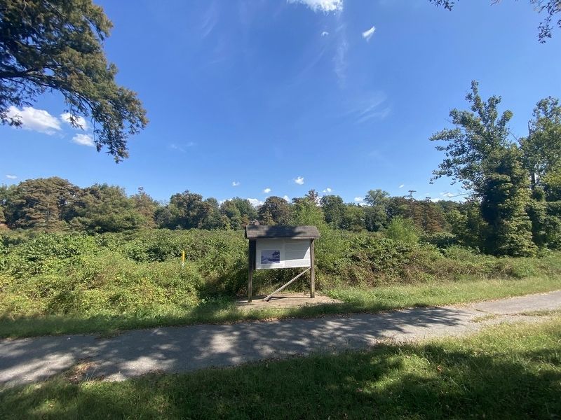
Location. 35° 12.951′ N, 90° 11.689′ W. Marker is in Marion, Arkansas, in Crittenden County. Marker can be reached from Cypress Drive. Touch for map. Marker is at or near this postal address: 104 Cypress Drive, Marion AR 72364, United States of America. Touch for directions.
Other nearby markers. At least 8 other markers are within walking distance of this marker. The Trail of Tears...A Sad Chapter in American History (within shouting distance of this marker); Old County Jail (within shouting distance of this marker); Hernando De Soto's expeditionary force entering Arkansas (within shouting distance of this marker); Forest Industry History in the Delta (about 500 feet away, measured in a direct line); Crittenden County Health Department (about 500 feet away); Marion Hotel (about 600 feet away); Crittenden Bank & Trust Company (about 600 feet away); Confederate Soldier's Memorial (about 700 feet away). Touch for a list and map of all markers in Marion.
Click on the ad for more information.
Please report objectionable advertising to the Editor.
sectionhead>More about this marker. The marker is on the Marion Lake Walking Trail.Please report objectionable advertising to the Editor.
Credits. This page was last revised on November 3, 2023. It was originally submitted on October 14, 2023, by Darren Jefferson Clay of Duluth, Georgia. This page has been viewed 71 times since then and 16 times this year. Photos: 1, 2. submitted on October 25, 2023, by Darren Jefferson Clay of Duluth, Georgia. • Andrew Ruppenstein was the editor who published this page.

