Near Lake Cormorant in DeSoto County, Mississippi — The American South (East South Central)
Edgefield Mounds
— Mississippi Mound Trail —
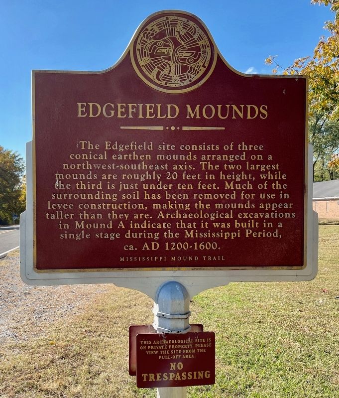
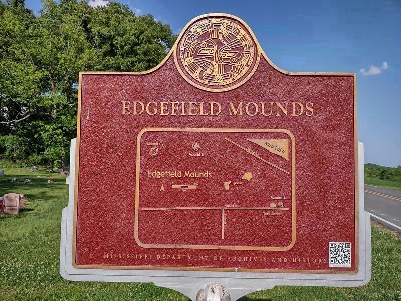
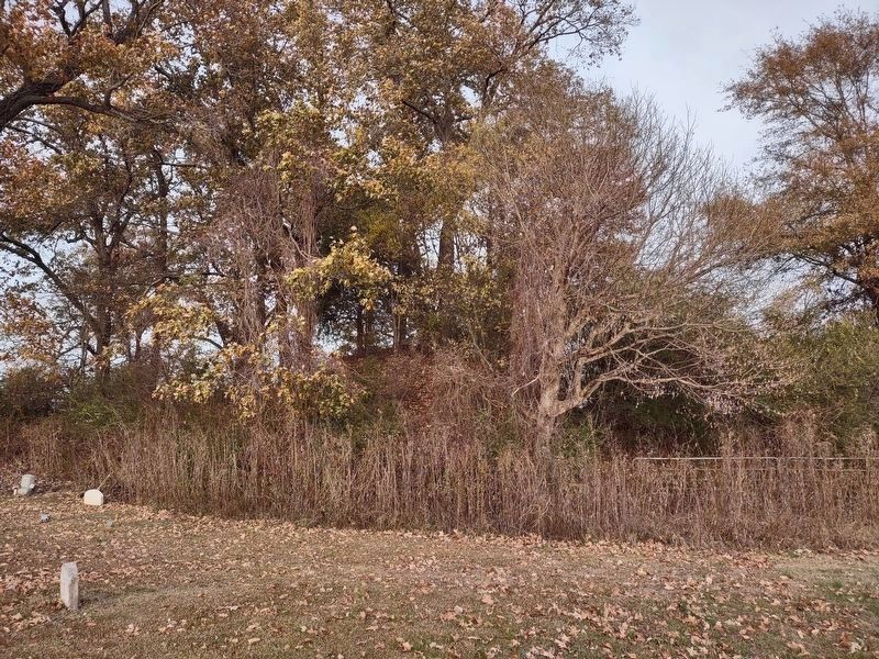
The Edgefield site consists of three conical earthen mounds arranged on a northwest-southeast axis. The two largest mounds are roughly 20 feet in height, while the third is just under ten feet. Much of the surrounding soil has been removed for use in levee construction, making the mounds appear taller than they are. Archaeological excavations in Mound A indicate that it was built in a single stage during the Mississippi Period, ca. AD 1200-1600.
Erected by Mississippi Department of Archives and History.
Topics and series. This historical marker is listed in these topic lists: Anthropology & Archaeology • Native Americans. In addition, it is included in the Mississippi Mound Trail series list.
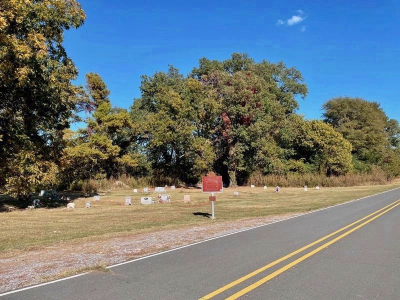
Location. 34° 59.529′ N, 90° 12.935′ W. Marker is near Lake Cormorant, Mississippi, in DeSoto County. Marker is on Norfolk Road, 0.1 miles east of Thomas Road, on the right when traveling west. Touch for map. Marker is at or near this postal address: 12796 Norfolk Rd, Lake Cormorant MS 38641, United States of America. Touch for directions.
Other nearby markers. At least 8 other markers are within 11 miles of this marker, measured as the crow flies. Memphis Minnie (approx. 2.3 miles away); Delta Center School (approx. 4.8 miles away); Elvis Presley's Circle G Ranch (approx. 7.1 miles away); Ernest C. Withers House (approx. 9.1 miles away in Tennessee); KWEM Radio (approx. 10.8 miles away in Arkansas); Big Walter Horton (approx. 10.9 miles away); Highway 61 Blues (approx. 11 miles away); Son House (approx. 11.1 miles away).
More about this marker. This archaeological site is on private property. Please view the site from the pull-off area. NO TRESPASSING
Also see . . . Mississippi Mound Trail. Mississippi Historical Markers website entry (Submitted on October 18, 2023, by Mark Hilton of Montgomery, Alabama.)
Credits. This page was last revised on April 15, 2024. It was originally submitted on October 16, 2023, by Nicolas Rausch of Horn Lake, Mississippi. This page has been viewed 99 times since then and 35 times this year. Photos: 1, 2. submitted on October 16, 2023, by Nicolas Rausch of Horn Lake, Mississippi. 3. submitted on October 25, 2023, by Mark Hilton of Montgomery, Alabama. 4. submitted on December 7, 2023, by Nicolas Rausch of Horn Lake, Mississippi. • James Hulse was the editor who published this page.


