Riverview in Saint Paul in Ramsey County, Minnesota — The American Midwest (Upper Plains)
USS Saint Paul (CA-73) Anchor
Photographed by McGhiever, June 9, 2023
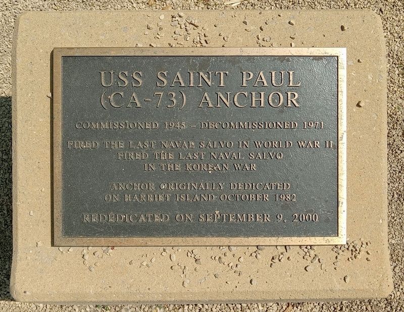
1. USS Saint Paul (CA-73) Anchor Marker
Commissioned 1945 – Decommissioned 1971
Fired the last naval salvo in World War II
Fired the last naval salvo in the Korean War
Anchor originally dedicated on Harriet Island October 1982
Rededicated on September 9, 2000
Erected 2000.
Topics. This historical marker is listed in these topic lists: War, Korean • War, World II • Waterways & Vessels. A significant historical year for this entry is 1945.
Location. 44° 56.225′ N, 93° 5.919′ W. Marker is in Saint Paul, Minnesota, in Ramsey County. It is in Riverview. It can be reached from Dr. Justus Ohage Boulevard north of Plato Boulevard, on the left when traveling north. The marker is in Harriet Island Regional Park, just southwest of the Padelford Riverboats ticket office. Touch for map. Marker is at or near this postal address: 205 Dr Justus Ohage Boulevard, Saint Paul MN 55107, United States of America. Touch for directions.

Regionally, this marker is in the Twin Cities Metropolitan Area. It is also in the American Midwest, in the Corn Belt, and in the Great River Road Region. Globally, it is in North America, the Western Hemisphere, the Western
this page online
Other nearby markers. At least 8 other markers are within walking distance of this marker: An Era of Restoration (about 700 feet away, measured in a direct line); Saint Paul AMVETS Memorial (about 700 feet away); A River in Decline (about 800 feet away); The Father of Waters (about 800 feet away); Welcome to the Saint Paul Municipal Grain Terminal (about 800 feet away); Justus Ohage, M.D. (approx. 0.2 miles away); River Commerce and the Upper Landing (approx. 0.2 miles away); Beating Back Pests and Diversifying Tree Populations (approx. 0.3 miles away). Touch for a list and map of all markers in Saint Paul.
Photographed by McGhiever, June 9, 2023
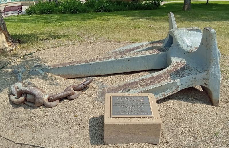
2. USS Saint Paul (CA-73) Anchor and Marker
Photographed by McGhiever, June 9, 2023
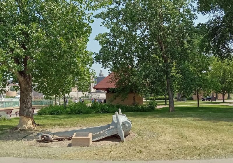
3. USS Saint Paul (CA-73) Anchor Marker in Harriet Island Regional Park
Credits. This page was last revised on October 19, 2023. It was originally submitted on October 17, 2023, by McGhiever of Minneapolis, Minnesota. This page has been viewed 617 times since then and 60 times this year. Photos: 1, 2, 3. submitted on October 17, 2023, by McGhiever of Minneapolis, Minnesota. • J. Makali Bruton was the editor who published this page.
