Near Bienville in Bienville Parish, Louisiana — The American South (West South Central)
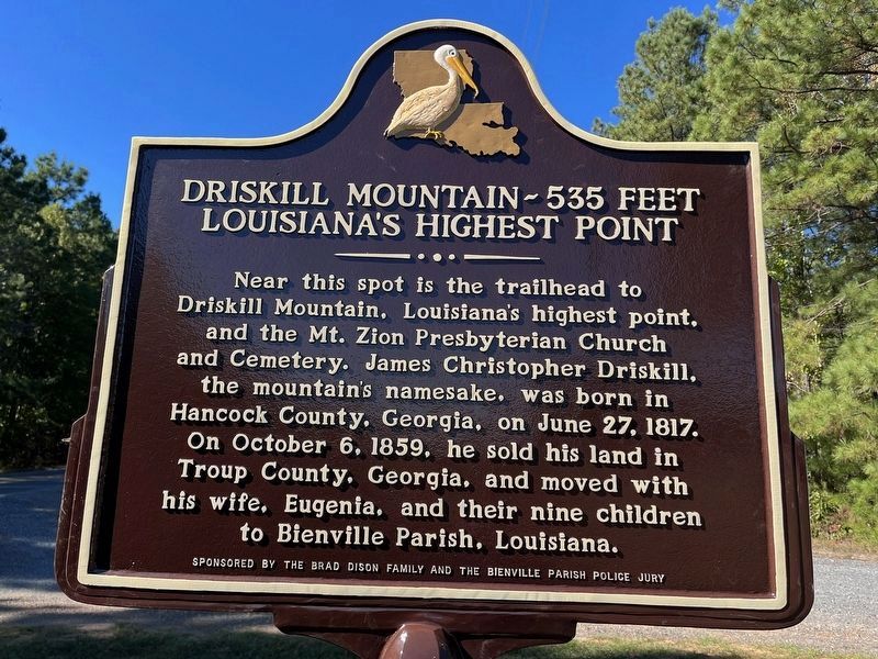
Driskill Mountain - 535 Feet
Louisiana's Highest Point
Reverse Side
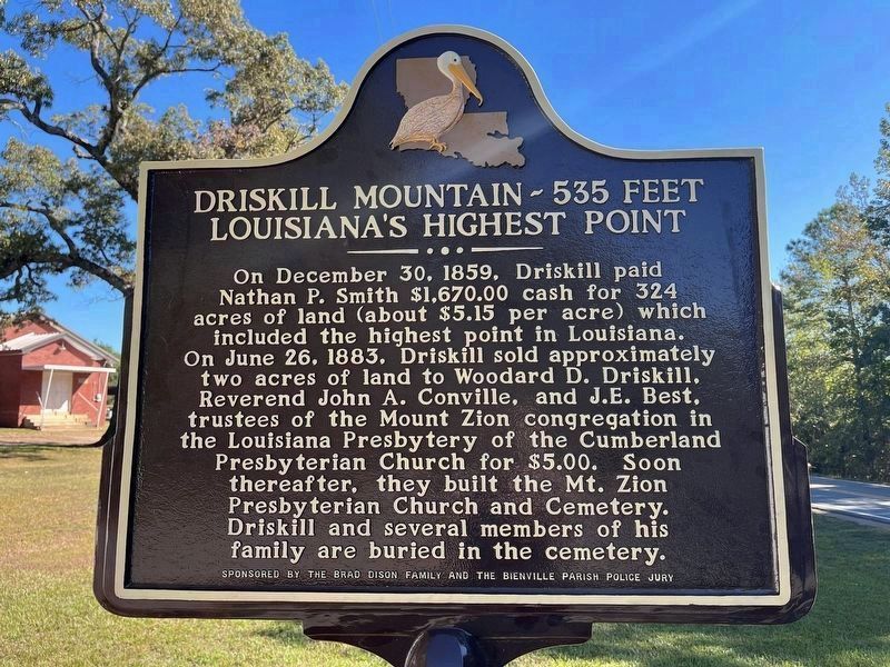
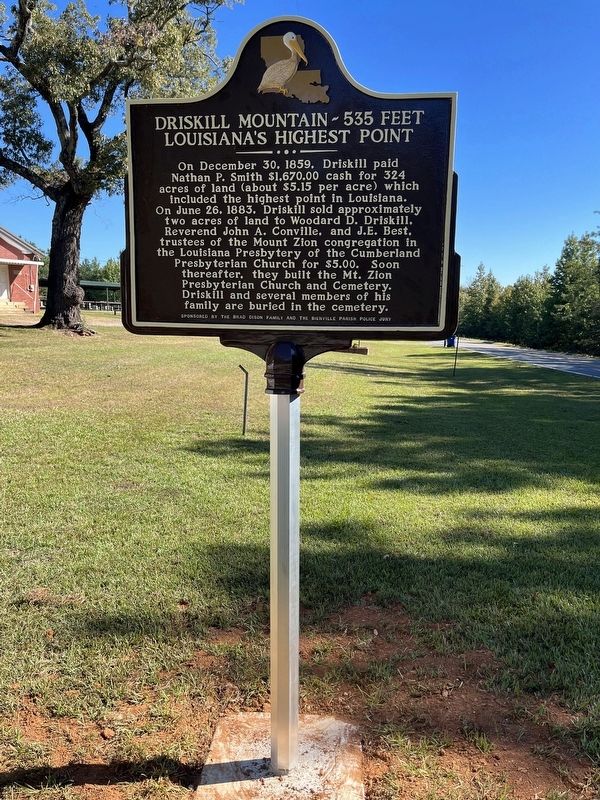
On December 30, 1859, Driskill paid Nathan P. Smith $1,670.00 cash for 324 acres of land (about $5.15 per acre) which included the highest point in Louisiana. On June 26, 1883, Driskill sold approximately two acres of land to Woodard D. Driskill, Reverend John A. Conville, and J.E. Best, trustees of the Mount Zion congregation in the Louisiana Presbytery of the Cumberland Presbyterian Church for $5.00. Soon thereafter, they built the Mt. Zion Presbyterian Church and Cemetery. Driskill and several members of his family are buried in the cemetery.
Erected 2023 by Brad Dison Family and the Bienville Parish Police Jury.
Topics. This historical marker is listed in these topic lists: Cemeteries & Burial Sites • Churches & Religion • Parks & Recreational Areas. A significant historical date for this entry is December 30, 1859.
Location. 32° 24.889′ N, 92° 53.671′ W. Marker is near Bienville, Louisiana, in Bienville Parish. Marker is on State Highway 507, 0.8 miles west of State Highway 797, on the right when traveling west. The marker is located in front of Mt. Zion Presbyterian Church. The "mountain" is up a trail behind the church. Touch for map. Marker is in this post office area: Bienville LA 71008, United States of America. Touch for directions.
Other nearby markers. At least 8 other markers are within 13 miles of this marker, measured as the crow flies. Driskill Mountain (within shouting distance of this marker); Walnut Creek Baptist Church (approx. 10.9 miles away); Sparta (approx. 11.3 miles away); Bonnie Parker and Clyde Barrow Ambush Site (approx. 11.7 miles away); Clyde Barrow and Bonnie Parker (approx. 11.7 miles away); Louisiana Colored Chautauqua (approx. 12.3 miles away); Liberty Hill Baptist Association (approx. 12.6 miles away); Site of Allen Greene Normal and Industrial Bible Institute (approx. 12.6 miles away). Touch for a list and map of all markers in Bienville.
Credits. This page was last revised on October 18, 2023. It was originally submitted on October 17, 2023, by Wesley Harris of Ruston, Louisiana. This page has been viewed 86 times since then and 35 times this year. Photos: 1, 2, 3. submitted on October 17, 2023, by Wesley Harris of Ruston, Louisiana. • James Hulse was the editor who published this page.
Editor’s want-list for this marker. A photo in context with the Mt. Zion Presbyterian Church and Cemetery • Can you help?


